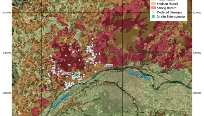
Underground energy storage and gas storage in aquifers In the context of energy transition, massive energy storage is a key issue for the integration of renewable sources into the energy mix. Storing energy in the underground can lead to larger-scale, longer-term and safer solutions than above-ground energy storage technologies. In particular, natural gas storages are designed to address different ...[Read More]
I-REACT – ‘Fight disasters with your phone’
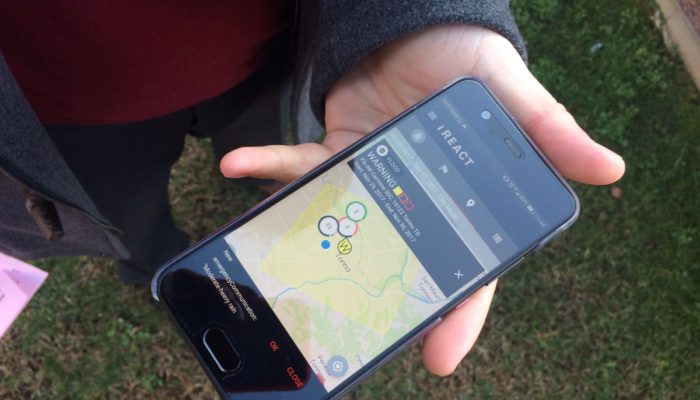
Technology has never been more at hand than at the time we are living. Smartphones and the many apps on the market are proof of this. As I recently discovered, there is also an app developed to learn about natural hazards and, as they claim, fight disasters! This app is called I-REACT, and it was born from a homonymous innovation project funded by the European Commission and developed by a consort ...[Read More]
InSAR Norway: the big eye on Norwegian unstable rock slopes

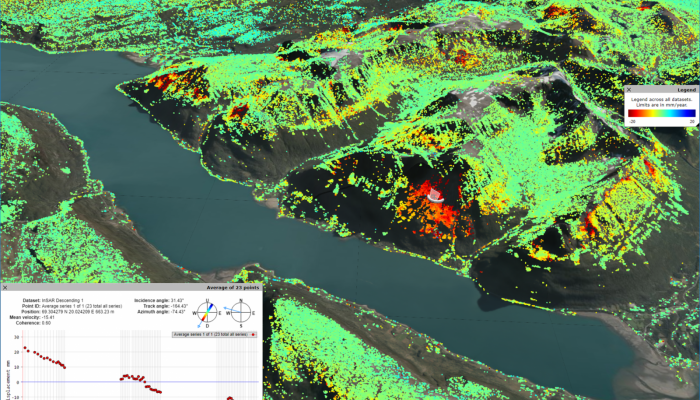
Marie Keiding is a researcher in the Geohazard and Earth Observation team at the Geological Survey of Norway. Together with her colleague, John Dehls, who is leading the project, she works to develop and operate the new mapping service called InSAR Norway. Before we start, let’s briefly describe what is InSAR. First, the Synthetic Aperture Radar (SAR) is a day and night operational imaging system ...[Read More]
Mapping population dynamics to advance Disaster Risk Management
Today we have the honour to introduce Sérgio Freire as our guest. Sérgio Freire is a Geographer, currently working as Scientific/Technical Project Manager at the European Commission’s Joint Research Centre (JRC), Directorate E. Space, Security and Migration, Disaster Risk Management Unit, based in Ispra, Italy. His main activities focus on developing applications of the JRC’s Global Human S ...[Read More]


