NH
Natural Hazards

Natural hazard

Practical Use of Natural Hazard Monitoring Systems during Escalating Risk Scenarios

Mountain hazard regimes are fundamentally shifting. There is consensus not just among concerned scientists, but practitioners of risk management, that mountain hazard regimes are affected by warmer temperatures and intensifying precipitation events. The effects of these changes are further amplified by increasing population density in known hazard zones; with more infrastructure and human settleme ...[Read More]

When multiple hazards interact and the data doesn’t: The multi-hazard modelling problem nobody wants to talk about

There is a quiet contradiction at the heart of natural hazard science. The regions most exposed to multi-hazard events are precisely the regions where we know the least. The Global South (comprising lower- and middle-income countries in Africa, Asia, Latin America and the Caribbean) is disproportionately affected by climate-related natural hazards, yet it is largely underrepresented in climate res ...[Read More]

Assessment of multiple predictors to the psychological effects of flooding for residential and business sectors in Peninsular Malaysia

Assessment of multiple predictors to the psychological effects of flooding for residential and business sectors in Peninsular Malaysia

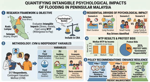
Experiencing a severe flood can lead to profound emotional and mental distress, including anxiety, depression, and long-term stress. These mental health struggles often stem from the trauma of losing cherished possessions, disrupted daily routines, or the terrifying threat to personal safety and the lives of loved ones. Yet, because mental well-being is an “intangible” loss, it is freq ...[Read More]

From Seismic Signals to Safer Trains: Italy’s First Earthquake Early Warning System for High-Speed Railways

Earthquakes remain among the most disruptive natural hazards worldwide, capable of causing sudden loss of life, severe economic damage, and long-lasting societal impacts. One of the most effective tools developed in recent decades to mitigate these effects is Earthquake Early Warning (EEW), a real-time monitoring strategy that exploits a fundamental physical property of earthquakes: seismic waves ...[Read More]

Same hills, different rules: why urban and rural landslides should not be considered together?

Same hills, different rules: why urban and rural landslides should not be considered together?

Cities are expanding faster than ever, often onto steep and unstable terrain. As urban areas grow, landslides increasingly threaten homes, roads, and critical infrastructure. To manage this risk, scientists produce landslide susceptibility maps, which estimate where landslides are most likely to occur. These maps are widely used by planners and decision-makers. But there is a quiet assumption buil ...[Read More]

Extreme hourly rainfall is increasing in Italy: insights from high-resolution climate reanalysis

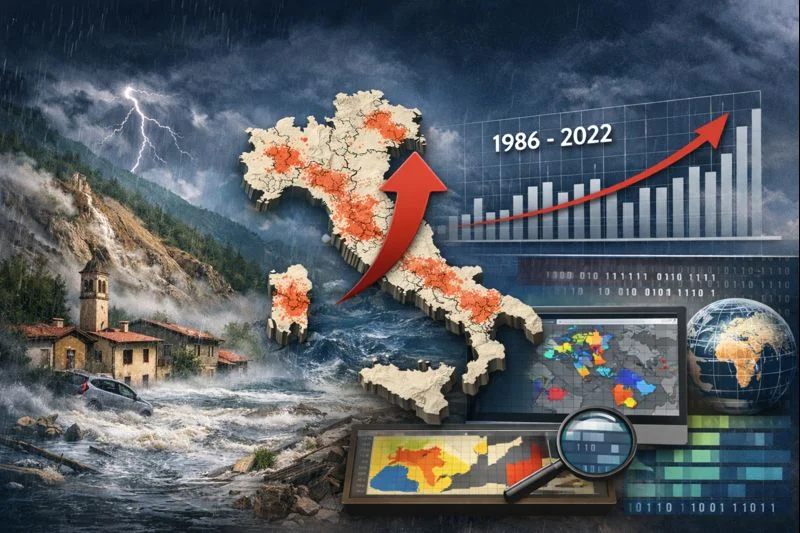
Image generated using ChatGPT (AI-generated image).

Intense rainfall lasting only a few hours is often enough to trigger natural hazards such as flash floods and landslides, leading to severe damage to infrastructure. These short-lived events are among the most dangerous natural hazards in the Mediterranean region, yet they are also among the hardest to study. Their small spatial scale and brief duration mean that they are often missed or underesti ...[Read More]

Living with a restless giant: The challenge of multi-risk management and communication at Campi Flegrei Volcano

Living with a restless giant: The challenge of multi-risk management and communication at Campi Flegrei Volcano

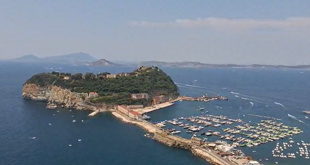
Nestled within one of Europe’s most densely populated regions, the Campi Flegrei caldera is a volcanic system whose secular unrest shapes the daily life of its inhabitants. Here, during the last decade and still ongoing crisis, ground uplift, frequent earthquakes, and persistent gas emissions interact to create a complex, evolving multi-risk environment. These natural hazards rarely follow simple ...[Read More]

If a Resilient City Had a Face: It Might Look Like Kagoshima

If a Resilient City Had a Face:  It Might Look Like Kagoshima

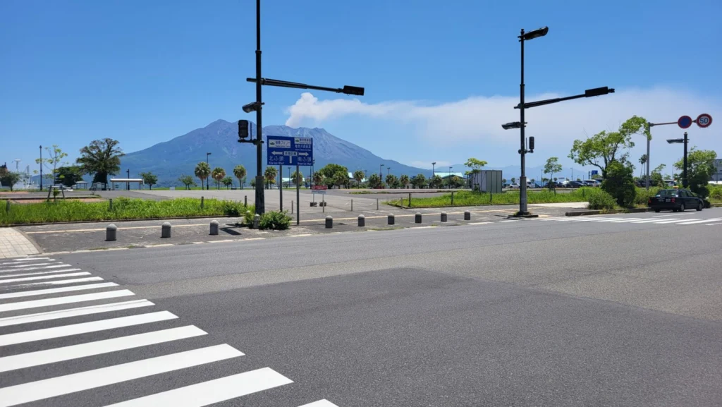
As natural hazard scientists, we often emphasise the concept of exposure – how much people, infrastructure, and ecosystems are in harm’s way when close to natural hazard sources (e.g., floodplains, volcanoes, or fault lines). The closer you are, the higher the risk. Therefore, one of the main goals in natural risk assessment is to reduce exposure whenever possible. We advocate for informed plannin ...[Read More]

How is earthquake-driven sea-level rise changing our coasts?

How is earthquake-driven sea-level rise changing our coasts?

Coastal regions have always been at risk from natural hazards, but now, there’s an added layer of complexity. Earthquakes, which cause the land to move up or down, can significantly affect sea levels, especially in regions already experiencing the effects of climate change. Earthquakes can alter coastlines in ways that we’re still trying to understand, and it’s clear that tectonically active areas ...[Read More]

The Blatten landslide in Switzerland

The Blatten landslide in Switzerland

In the morning of May 28, 2025, the picturesque Swiss alpine village of Blatten sat quiet and serene in the Lötschen Valley. Exceptionally quiet, in fact, as the village was evacuated on May 19th after a local Natural Hazards expert spotted a worrisome change in a local mountain looming about the village, the Kleines Nesthorn: it was collapsing faster. The Kleines Nesthorn is a 3,341-meter peak wi ...[Read More]