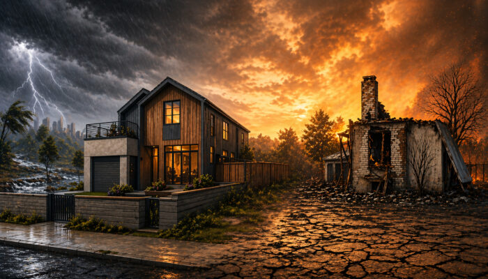
The surviving house in Pacific Palisades became one of the most discussed images from the 2025 California wildfires (Fig. 1). What makes it scientifically interesting, though, is not that it survived. It is that many of the features associated with the house’s survival – a more fire-resistant exterior, stronger windows, and details that reduce ember entry – are already well known. This case points ...[Read More]
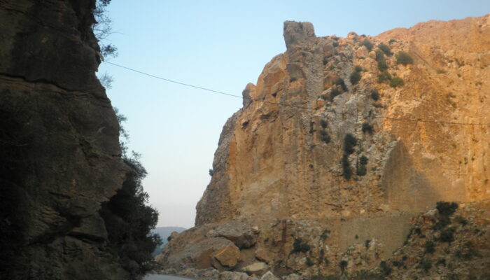
Same hills, different rules: why urban and rural landslides should not be considered together?
Cities are expanding faster than ever, often onto steep and unstable terrain. As urban areas grow, landslides increasingly threaten homes, roads, and critical infrastructure. To manage this risk, scientists produce landslide susceptibility maps, which estimate where landslides are most likely to occur. These maps are widely used by planners and decision-makers. But there is a quiet assumption buil ...[Read More]
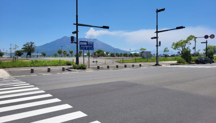
If a Resilient City Had a Face: It Might Look Like Kagoshima
As natural hazard scientists, we often emphasise the concept of exposure – how much people, infrastructure, and ecosystems are in harm’s way when close to natural hazard sources (e.g., floodplains, volcanoes, or fault lines). The closer you are, the higher the risk. Therefore, one of the main goals in natural risk assessment is to reduce exposure whenever possible. We advocate for informed plannin ...[Read More]
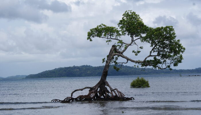
How is earthquake-driven sea-level rise changing our coasts?
Coastal regions have always been at risk from natural hazards, but now, there’s an added layer of complexity. Earthquakes, which cause the land to move up or down, can significantly affect sea levels, especially in regions already experiencing the effects of climate change. Earthquakes can alter coastlines in ways that we’re still trying to understand, and it’s clear that tectonically active areas ...[Read More]