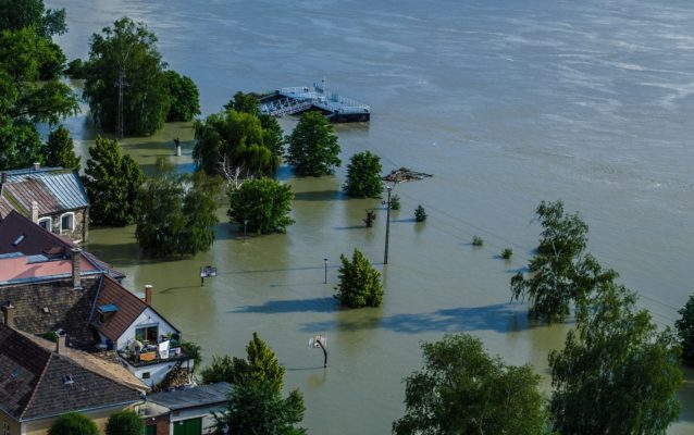
In this post, I have the pleasure to interview Dr.ir. Henny A.J. van Lanen. He is Associate Professor in the Hydrology & Quantitative Water Management Group of Wageningen University and he has been involved in several EU projects. Further, he is involved in many international groups or networks: Coordinator of the European FRIEND programme (EURO-FRIEND Water, Flow Regimes from International Ex ...[Read More]
I-REACT – ‘Fight disasters with your phone’
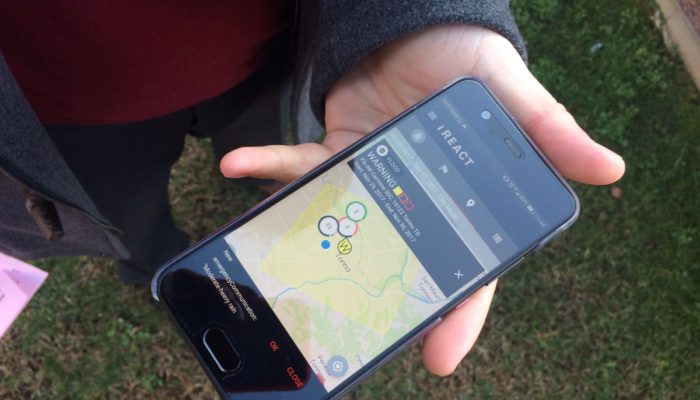
Technology has never been more at hand than at the time we are living. Smartphones and the many apps on the market are proof of this. As I recently discovered, there is also an app developed to learn about natural hazards and, as they claim, fight disasters! This app is called I-REACT, and it was born from a homonymous innovation project funded by the European Commission and developed by a consort ...[Read More]
InSAR Norway: the big eye on Norwegian unstable rock slopes

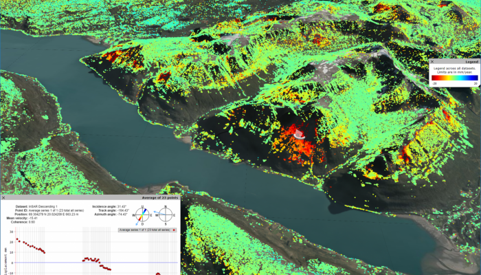
Marie Keiding is a researcher in the Geohazard and Earth Observation team at the Geological Survey of Norway. Together with her colleague, John Dehls, who is leading the project, she works to develop and operate the new mapping service called InSAR Norway. Before we start, let’s briefly describe what is InSAR. First, the Synthetic Aperture Radar (SAR) is a day and night operational imaging system ...[Read More]
Landslide forecasting and warning service in Norway
Today our blog will host Graziella Devoli who will tell us about the Landslide Forecasting and Warning Service currently operating in Norway by the Norwegian Water Resources and Energy Directorate (NVE). Graziella is Senior Geologist at NVE and she has PhD in Environmental Geology and Geohazards obtained at the University of Oslo (UiO) where she also teaches in the Geohazards master program. At NV ...[Read More]


