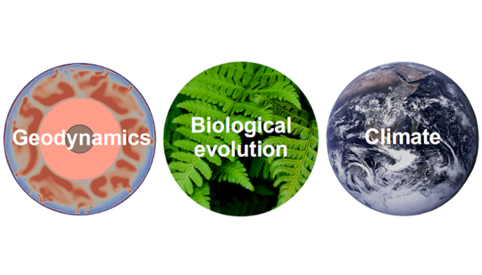
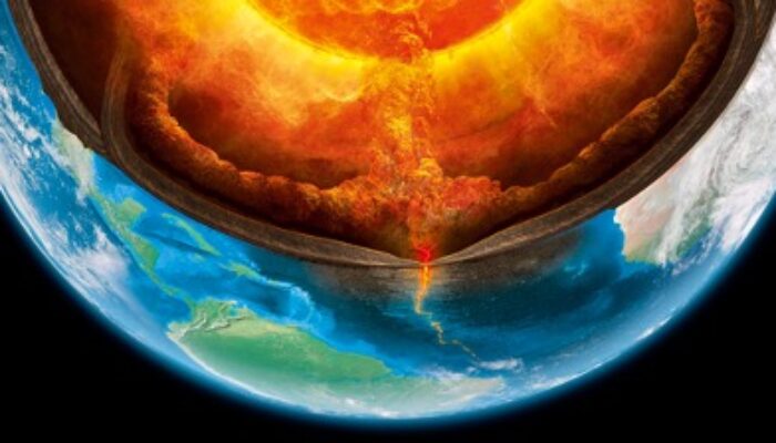
GD
Geodynamics

News & Views

Democratising Climate Information

Democratising Climate Information

How can we ensure a greener and more equitable future for everyone in the forthcoming years? In this week’s blog, Professor Monica Sanders from Georgetown University and Tulane University shares her thoughts on how and why we need to democratise climate information towards the general public and primarily to the divested communities that are being impacted the most by this global climate crisis.  ...[Read More]

How does slab tearing evolve?

How does slab tearing evolve?

Slab tearing refers to the gradual propagation of the break-off of a subducting plate. As observed in numerous modern and ancient convergent tectonic settings, the growth of the tear “window” in the downgoing plate has strongly influenced various geologic and geodynamic processes, such as depocenter migration of foreland basins, uplift rates in mountain ranges, earthquakes, volcanism, and flow pat ...[Read More]

The first observational evidence for a volcanically active Venus

The first observational evidence for a volcanically active Venus

Our neighbouring planet Venus is gaining popularity in the terrestrial planetary sciences, especially since the selection of three new Venus missions by NASA and ESA in 2021. Now, for the first time ever, scientists have directly observed surface changes that indicate active volcanism on Venus. This discovery was made with data from NASA’s 30-year-old Magellan mission and is only a small preview f ...[Read More]

Study of the Lithospheric deformations, Earthquakes, Tsunamis, Volcanic eruptions and their imprints in Atmosphere using Space Geodetic Observations

Study of the Lithospheric deformations, Earthquakes, Tsunamis, Volcanic eruptions and their imprints in Atmosphere using Space Geodetic Observations

The fundamental of Space Geodesy is the observation of the dynamics of the Earth, such as its rotation on its axis, changes in shape, and the external gravitational field etc., which allow for the monitoring of the Earth system in general. Space Geodetic techniques, such as Global Navigation Satellite Systems (GNSS) / Global Positioning System (GPS), as well as Interferometric Synthetic Aperture R ...[Read More]