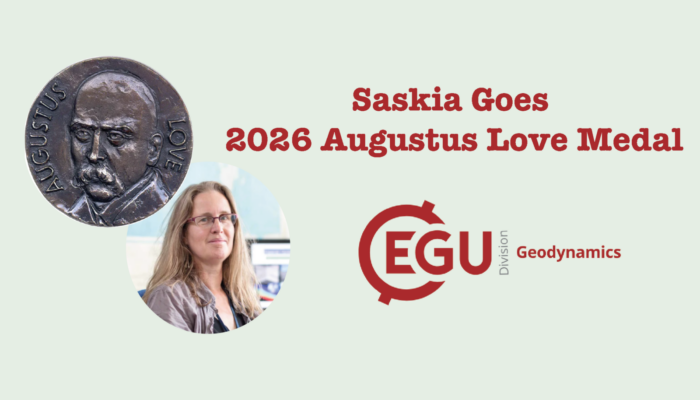
GD
Geodynamics

News & Views

Modeling the Early Earth: Idealization and its Aims II

Modeling the Early Earth: Idealization and its Aims II

This week we have the second part of Junjie Dong’s insightful blog on modeling the early Earth. Following the discussion (“Modeling the Early Earth: Idealization and its Aims I”) about the major early Earth questions and challenges in modeling early Earth, Junjie now explores  the imprtance of modeling as a scientific endeavor. He presents how one could more effectively model the ...[Read More]

An Arctic enigma: Can a single plume explain a massive and long-lived ancient volcanic eruption?

An Arctic enigma: Can a single plume explain a massive and long-lived ancient volcanic eruption?

  Across the Arctic lies evidence for a massive past volcanic event, called the High Arctic Large Igneous Province (HALIP). This ancient volcanic event is particularly unusual in that it appears to have lasted for over 50 million years. Could a single deep-seated mantle plume cause such wide-spread and long-lived volcanism? In a recent study published in the journal G-cubed (Heyn et al., 2024 ...[Read More]

Modeling the Early Earth: Idealization and its Aims I

Modeling the Early Earth: Idealization and its Aims I

The question of how we came to be is closely tied with how the Earth became what it now is. What was the early Earth like? How did it evolve to become a habitable world? Given a fragmentary rock record, how can we investigate the early Earth and its evolution? Dr. Junjie Dong from Caltech writes about modeling the early Earth in a two-part blog.  For the first part, he introduces the approach to e ...[Read More]

The uncertain tomographic lenses

The uncertain tomographic lenses

Geodynamicists often try to answer scientific questions related to the Earth interior, but direct observations of such depths are rather limited–unless you are character in a Jules Verne’s novel or a prominent scientist in the movie The Core–. A way to deal with this issue is to rely on indirect methods, with seismic tomography being one of the most widely used by geoscientists. Howeve ...[Read More]