Today we have the honor to have Prof. Victor Jetten as our guest.  Throughout his career Victor, has been working in modelling of natural hazard and land degradation processes. Starting with biomass and grazing capacity, the effects of logging on the natural rain forest water balance, he then moved to soil erosion and land degradation processes as a result of land use change and overgrazing. He believes that all these processes should not be studied and modeled as separate disciplines but in a much more holistic way. In the context of Natural Disasters stakeholders are confronted with chains of multiple hazards: such an earthquake leading to landslides leading to blockage of river systems leading to flash floods (such as happened in Wenchuan in 2008 and Nepal in 2016). Each subsequent extreme rainfall triggers landslides and extreme erosion, forging possibly more change in these areas than several decades of climate change, and wiping out years of development. Victor thinks science has to be useful for society and his aim is to provide timely and actionable spatial information in disaster preparedness, prevention and response. To this end he develops together with PhD researchers the opensource model openLISEM, that is able to simulate runoff, river discharge, floods, erosion and deposition and debris flows, in an integrated and spatially detailed way.
- Today we are going to talk about multi-hydromorphic-hazards. Victor, what can you tell us about it?
We have moved from theory and models to understand processes in nature to the application of that knowledge in a hazards context (as a result of triggers such as extreme weather events or earthquakes). The probability of that event was added, to serve stakeholders better. But things become complicated very rapidly: we almost never know the probability of the event itself, so we exchanged that for the probability of the driving process, which is not the same. Hazards happen at the same time or as a chain of events: the 2008 earthquake in Wenchuan had direct earthquake damage, triggered over 100000 landslides, hundreds of which dammed rivers that potentially led to flash floods. Flash floods are triggered after an el Nino year because the sparse vegetation led to overgrazing. This complexity gives us problems: we have different models for different processes made by separate groups of scientists: geomorphologists look at landslides, hydrologists at flooding (but not so much at sediment in floods and where sediment comes from), erosion is the domain of soil scientists and agriculture (but floods are far downstream), meteorologists focus on the weather part of hazards. This is perfectly natural as each of these are sciences in itself. But now you live on a Caribbean island and are hit by a hurricane. Your house is subject to sea surges, wind damage, flash floods and landslides. These effects are aggravated because of a lack of landscape management that gradually filled up the river channels with sediment. Who will help you? An army of scientists that each speak their own language! And of course the solutions are in spatial planning and governance, which are again separate sciences.
- What can an holistic approach on multi-hazard provide with respect to traditional separated studies?
Many scientists are already convinced we need a multidisciplinary approach to tackle multidisciplinary problems, and we work together in multidisciplinary projects (where we each do our own thing!). A holistic approach from a hazard point of view would be a modelling platform that simulates the effects of a strong trigger (hurricane, possibly in combination with an earthquake) on a landscape. The dataset should reflect that the area is subjected to hazards all the time. The platform should not be a concatenation of separate tools but a single model environment, so that all processes fully interact. The purpose of such a tool would not so much be to predict exactly what will happen, but to be a discussion and decision support tool. If you simulate everything at the same time, and reflect on the simulation with scientists from all disciplines, you may go in directions that you did not go on your own. It may also help to discuss strategies for disaster risk reduction with stakeholder groups, to define better response and prevention. I hate metaphors but if somebody needs a car you are not going to give her all the parts separately and an instruction manual.
- Is it really possible to treat all different processes together? If yes, what are the actual limitations?
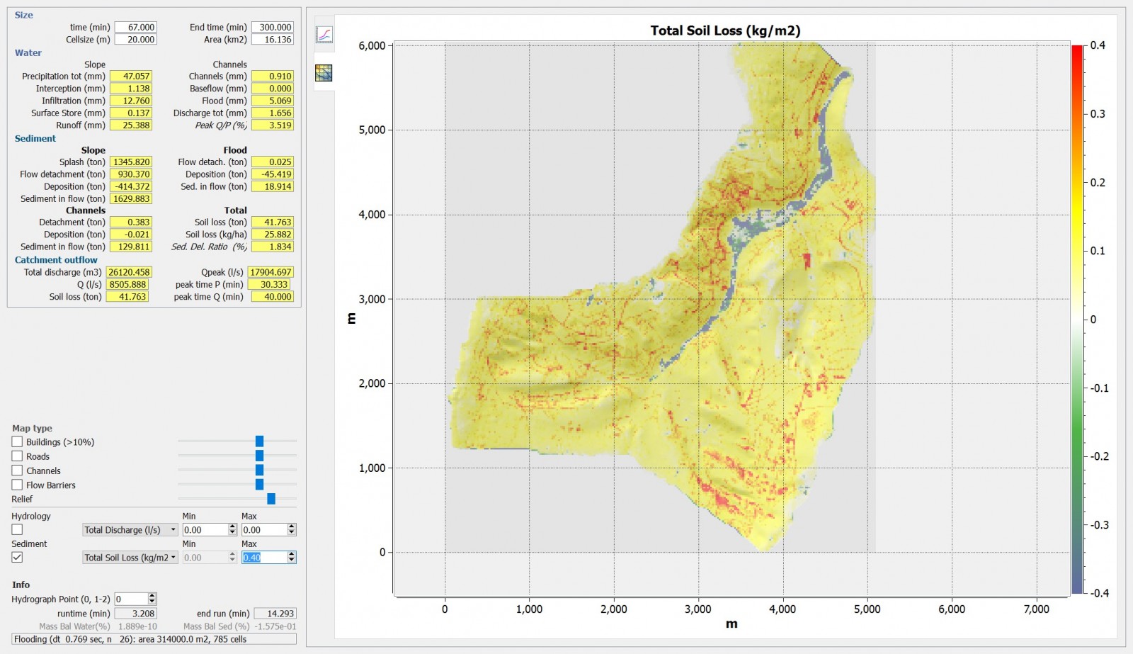
Yes and no! Technically it is possible, we have a beta version running. It is based on a set of equations that can simulate any fluid, from clear water to almost solid, the triggers come from hydrology and earth shaking, and the response is indeed what we hope for, a landslide can dam a river and cause flooding, a breakthrough mechanism can lead to a flash flood etc. We can do this at 20m resolution for 1000km2 on a second timestep basis (I am bragging here, but resolution is basically computer power). This has been done to some extent in Landscape Evolution Modelling but this time with real weather events on a much more detailed scale in time and space. As always the real problem is not the physics but the data: most places that are subject extreme events have poor datasets, so in creating a model dataset we make many choices that affect the quality of the predictions. But as a discussion tool it will work hopefully. There is simply no way to calibrate and validate results in detail. There is also stuff we do not do yet: wind damage sea surges etc. We might look at experiences of stakeholder that are affected to see if we are on the right track.
- Do you think the estimation of the risk would change if you treat all the components together rather than separately?
In some details it may change: we calculate risk from flooding but we treat this as only water, and even only water height related to physical damage of buildings. But a flash flood brings with it tons of sediment that also causes damage, needs to be cleaned up, blocks drainage systems etc. So it may help in calculating the impact better. But more important, I hope response and prevention might change to a more strategic view of what to do during and after a disaster, where to put shelters, what early warning is actually warning for, so the step after risk. I hope that a more holistic approach in hazards may lead to an integrated response.
- What do you envision for the future? If the community pursue multi-hydromorphic-hazards in a holistic way, how can this impact future master plans?
At EGU, all disciplines are in their separate groups inviting peers for discussion, but at the same time they express the wish and need to be multidisciplinary. Why not organize session around the problems/hazards/threats and invite all disciplines to participate. Or for sessions about some of the Sustainable Development Goals (it is a bit silly that disaster reduction is not a SDG, it is now under climate). As to future master plans: the world is now struggling to meet the SDGs for which there are 230+ indicators that have to monitor progress. Some of these indicators we don’t even know how to do yet. Maybe EGU could make a difference there.
