Today I have the honour to introduce a friend and a brilliant scientist that recently won the 2019 Arne Richter Award for Outstanding Early Career Scientists of the EGU, Dr Giulia Sofia. Dr Sofia is currently Assistant Research Professor at the University of Connecticut (USA) in the Hydrometeorology and Hydrologic Remote Sensing group. She received a B.S. and M.S. in Forestry Science, and PhD (2012) in Water Resources, Soil Conservation & Watershed Management from the University of Padova (Italy). Her area of research is geomorphology and digital terrain analysis, with a special interest in feature extraction from high-resolution topography. Her recent research interest concerns anthropogenic landscapes, incorporating the related human-induced processes. Her interdisciplinary research background is the reason behind today interview, to shed some light on the interrelation that geomorphology has with natural hazard research.
1. Hello Giulia. Can you please tell us what geomorphology and geomorphometry are?
Think about looking at a landscape, and working out how each earth surface process, such as air, water, and ice, can mould it. Think about piecing together the history and life of such a landscape place by studying landforms and sediments, and how they interact(ed). Well, this is geomorphology: the science of landforms, their processes, forms and sediments at the surface of the Earth, and sometimes other planets. Geomorphometry, on the other hand, is the science of quantitative land-surface analysis. It draws upon mathematics, computer vision, machine learning, image-processing techniques and statistics to quantify the shape of earth’s topography at various spatial and temporal scales.
2. Why are they essential to understand climate- and human-induced processes?
In today’s world, humans, climate and nature are inextricably linked, and despite uncertainties in the precise nature and likelihood of human and climate-induced processes, geomorphology and geomorphometry can explore the changes in process regimes and landscape responses. These disciplines have been significantly advanced in recent years at all spatial and temporal scales. Many of these advances are based on new methodologies and techniques that, compared to some years ago, offer largely improved capabilities. The rapid growth of survey technologies and computing advances, the advances in laboratory equipment (for example in sample dating, chemical analysis or in physical experimentation or simulation), and the increase of data acquisition from various sources (platforms and sensors), has led to a vast data pool with unprecedented spatiotemporal range, density, and resolution (from submeter to global scale data), which requires efficient data processing to extract sought-after information. This unprecedented set of tools and techniques provide field evidence of changes to the landscape in response to human or climatic inputs. They allow us to investigate how geomorphic processes can both mediate and increase the impacts of extreme events, thus they enhance our understanding of changes in geomorphic risks and vulnerabilities to landscapes and society at a variety of scales, from micro, to local, to global.
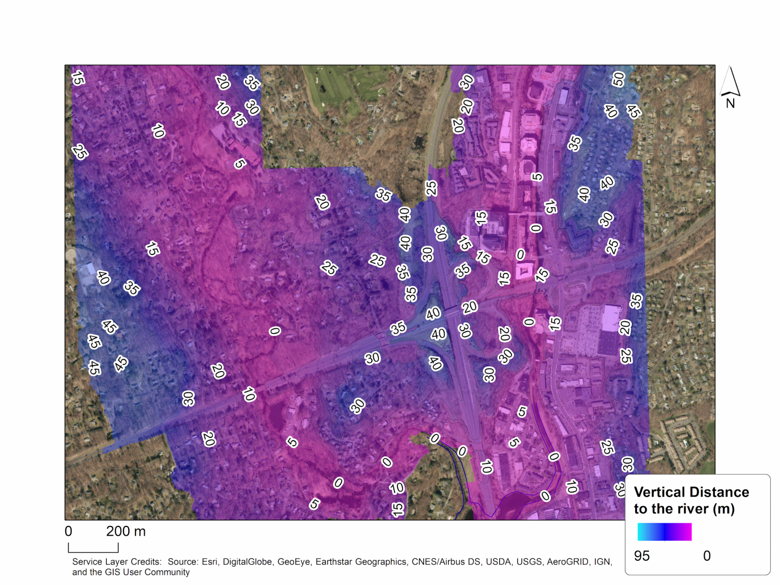
3. As you have been working mainly with floods, how the Earth’s ground features were useful in characterising the impact of such natural hazards? Any specific methodology in this regard?
One of my researches[1] has been focussed on understanding how economic changes control the development of agro-industrial landscapes, with effects on the hydrological response of the watershed and consequently on floods. My research was focussed mainly on the development and changes to the drainage system. For my investigation, the availability of high-resolution topographic data, and historical information allowed a correct delineation of the drainage network, and an automatic measurement of how network properties changed during the years. This type of research allowed to better understand the individual controls of drainage on flood response, and it showed that if there is a relationship between land-use management and watershed response it is through the interaction of a range of processes, including socio-economic ones. The assessed results show that not only does a particular change of the drainage in a rural landscape during time has to be carefully investigated with respect to the geography of the catchment (soil type), but whether or not this change has impacts will end up depending upon the temporal evolution of the rainfall event under consideration.
4. The relationship between geomorphology and society had a scant treatment in the literature. Do you think that it is essential to include the human component in land processes researches?
Including the human component in land processes researches is multifaceted, and it includes many features and perspective to consider. On the one hand, including humans implies using geomorphology to help society become more resilient to the growing numbers of severe events occurring worldwide. Geomorphology and geomorphometry can offer us an understanding of landscapes, of how geomorphic processes operate, and how sometimes large events, such as a landslide or flood, occur causing rapid changes to the environment and sometimes threatening humans. On the other hand, adding the human component entails understanding humans as drivers of landscape changes. This, in turn, means to use geomorphology and geomorphometry to globally evaluate how humans are reshaping Earth’s surface, studying processes and not merely spatial patterns, extrapolating results in space and time, linking data from different scientific disciplines, and considering increasing populations, technological capacities, and societal demands as a driver of landscape change operating at a different spatiotemporal scales than those of natural drivers such as climate and tectonic, for example.
5. Do you think that geomorphological analyses could help land use planners to improve societal resilience?
Geomorphological processes and society are deeply connected through a complex system of interactions and feedbacks. The concept of natural hazards is mostly associated with geological, geophysical and hydrometeorological processes. However, as they are significant constituents of the Earth’s surface dynamics, they should be also viewed and analyzed from a geomorphological viewpoint. It is mandatory today to understand and recognize the interrelations between society and geomorphological processes. To better comprehend this complex interaction, it is important to identify the threats that these processes represent as geohazards, and the impacts of humans on landforms and the processes that form them. Geomorphology and geomorphometry can identify areas most at risk of change to aid land-use planners and improve societal resilience. These disciplines can provide initial insights into the problem or issue related to land management in relation to specific processes, and they can offer a determination of current site-specific conditions. However, they also offer interpretative analytical investigations on past and current patterns of processes to help improving predictions for the future, and they can help in understanding how landform can shield from, or contribute to, the impacts of extreme events. Geomorphology’s key contributions in the understanding of how people impact on geomorphic processes and how, in turn, these processes impact on society, are an essential step towards the goal of a sustainable society.
[1] Sofia, G., Tarolli, P. (2017) Hydrological Response to ~30 years of Agricultural Surface Water Management. Land 6 (1), 3, doi: 10.3390/land6010003