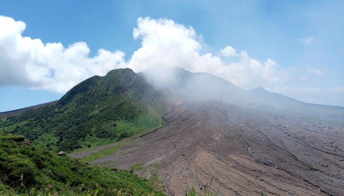
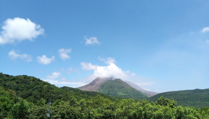
Figure 1. Topography of the Gibraltar Arc region. The shaded area indicates the position of positive seismic velocity anomaly supposedly representing the position of the slab at 270 km depth from seismic tomography (Amaru, 2007). The purple line shows the position of the modelled cross-section for the model shown in this blog. Blue dots indicate the regional intermediate seismicity (between 40 km ...[Read More]
Reflections on the geological and geodynamic evolution of the Southern Central Andes
Sketch showing the flat slab configuration, where the Nazca plate subducts beneath the South American plate with a subhorizontal angle (modified from Sanchez et al., 2019)
Reflections on the geological and geodynamic evolution of the Southern Central Andes
Geodynamic data-driven modelling: bridging the gap between observations and numerical models
A voyage between different tectonic modelling worlds: from sandbox to supercomputer