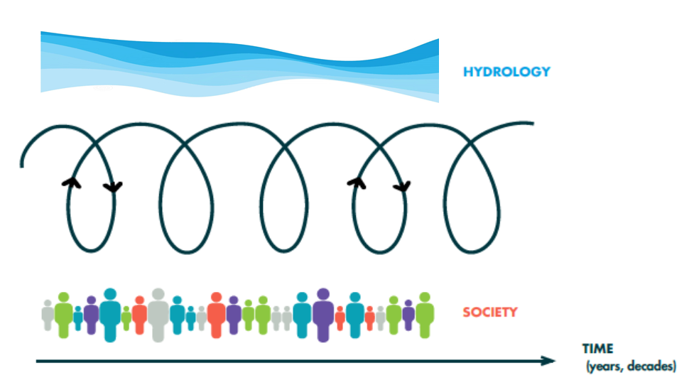
Scientific studies and mathematical models are increasingly used to guide the management and development of society. But while science and modelling can indeed provide a robust basis for decision making, we must be mindful of two related considerations. First, science is based not on trust but on skepticism, meticulous technique and careful verification. Second, science …[Read More]
Catchment hydrology
Hydrological modelling in times of flooding
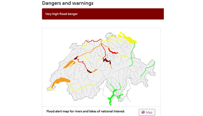
What a strange summer! Depending on where you live, you might currently be suffering from heat. In Switzerland, we are suffering from an exceptionally rainy and stormy weather situation, with high to very high flood danger issued for many major rivers and lakes (see warning map above, taken from the Federal Office for the Environment …[Read More]
The Lutz Creek watershed of Barro Colorado Island, Panama
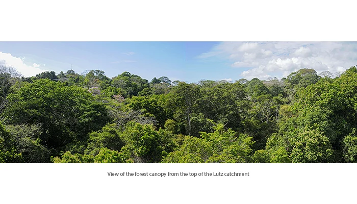
The Lutz Creek watershed, administered by the Smithsonian Tropical Research Institute (STRI) on Barro Colorado Island (BCI), is one of the longest continually monitored, micro-catchments in the neotropics. This catchment is central to the long-term climate and hydrological monitoring program that STRI has operated on BCI since 1972. The information derived from this program plays …[Read More]
Featured catchment: Hydrometeorological observations in an agricultural landscape in the Czech Republic
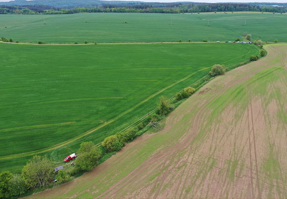
The Nučice experimental catchment (0.531 km2) is located 30 km east of Prague in an agricultural landscape in the Central Bohemian Region, Czech Republic (Figs. 1 and 2). The cultivated landscape and climatic conditions are representative of farmlands of the Czech Republic. To understand water balance, rainfall-runoff and soil erosion processes on the cultivated landscape, …[Read More]
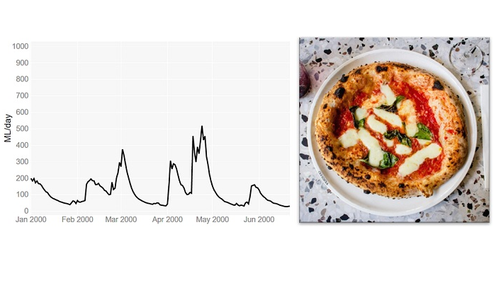
Hydrological modelling and pizza making: why doesn’t mine look like the one in the picture?
Is this a question that you have asked yourself after following a recipe, for instance, to make pizza? You have used the same ingredients and followed all the steps and still the result doesn’t look like the one in the picture… Don’t worry: you are not alone! This is a common issue, and not only …[Read More]
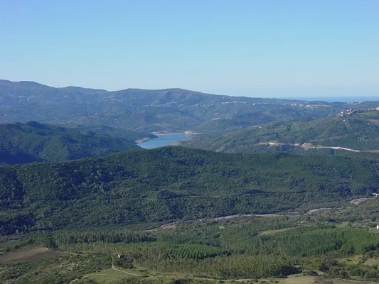
Featured catchment: The Alento Hydrological Observatory in the middle of the Mediterranean Region
Importance of investigating water fluxes in Mediterranean catchments MOSAIC (Modeling and Observing a mosaic of processes for Soil and water resources management in the Alento critical zone and Implementing adaptation strategies to climate and land use Changes) is an interdisciplinary research program that was established by the Soil Hydrology Group of University of Naples Federico …[Read More]
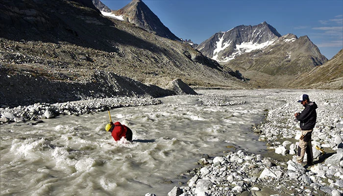
Running a live stream of proglacial processes
In Switzerland, nothing is really remote, but some places are more so than others. Dense infrastructure networks typically provide convenient access to research sites in the Alps where it is difficult to feel far away from home. However, this is not always the case… For us, our home for the summer is a bit different. …[Read More]
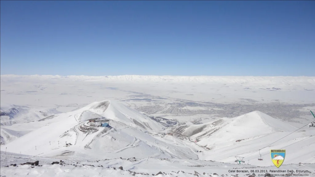
Featured catchment: Water Towers of Mesopotamia: Snow feeding the cultural heritage
Importance and challenges of snow modelling in Turkey Snow and glaciers in the high mountains play a crucial role for 1.6 billion people living downstream of mountainous areas. Thus, understanding snow dynamics is crucial for downstream irrigation, hydropower, flood control etc. In eastern Anatolia, Turkey (the mean elevation is around 1140 m), much of the …[Read More]
Why social inequalities matter for hydrologists?
After a few years spent at an Earth Science department researching social inequalities and hydrological extremes — i.e. floods and droughts — I have often been asked these rhetorical questions: “Isn’t it obvious that the weakest individuals or social groups suffer the most in case of extreme hydrological events? So, why should we study these …[Read More]
Featured Catchment: The Weierbach – Yet another temperate forested headwater?
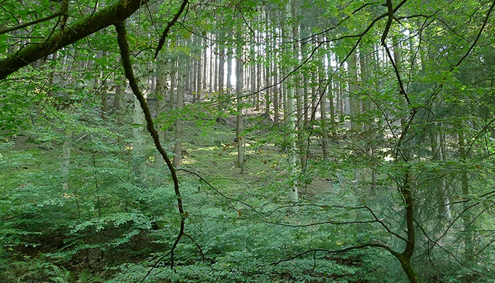
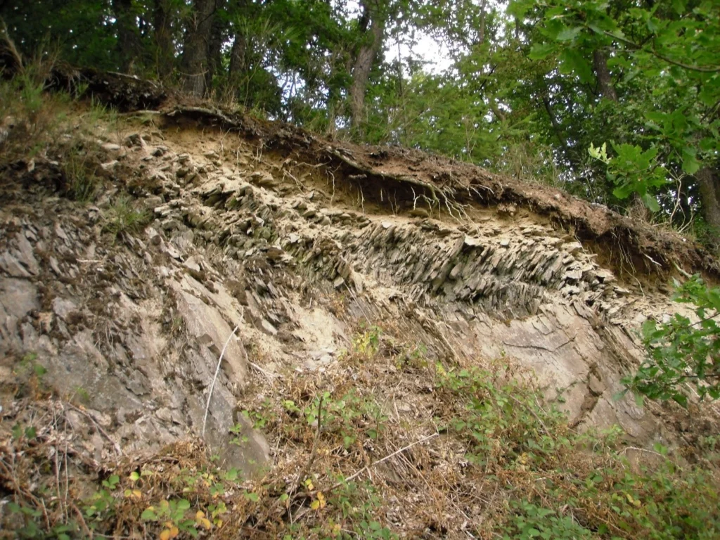
Slate bedrock, an often overlooked system At first sight, the Weierbach catchment may seem unspectacular. It is indeed a small (42 ha) forested headwater catchment, located at mid-latitude in a low mountain range (450-500 m a.s.l.). However, when you take a closer look, and particularly below the surface, the Weierbach is a truly exciting eco-hydrological …[Read More]