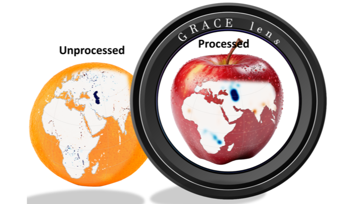
Have you ever heard that we can “weigh” water on Earth from space? Since 2002, the GRACE and GRACE-FO satellite missions have been mapping month-to-month variations of the Earth’s gravity field. Because gravity responds to mass, these data can reveal how water is redistributed at the surface and in the subsurface. The result is a …[Read More]
Remote sensing & data assimilation
Care to get your boots wet? The ‘Partial Surface Water Challenge’
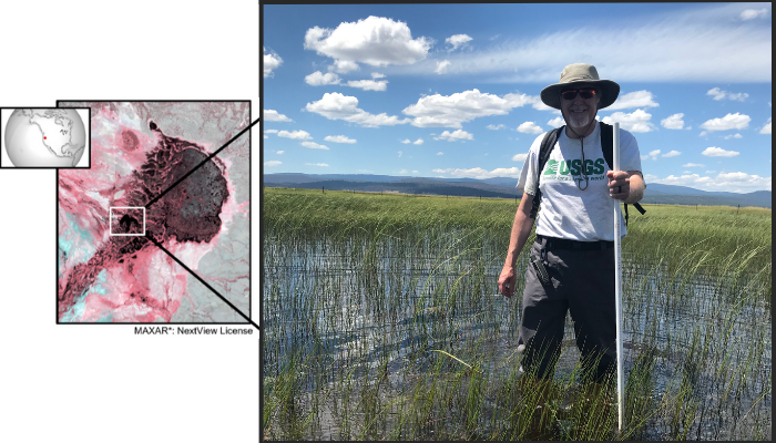
Inland surface water is a critical resource when scarce and a potential hazard when floods occur. Because the extent of surface water affects habitat condition, weather, and biogeochemical cycles, our ability to accurately track variations in surface water extent is important for resource management, science, commerce, hazard mitigation, and policy making. Openly distributed data derived …[Read More]