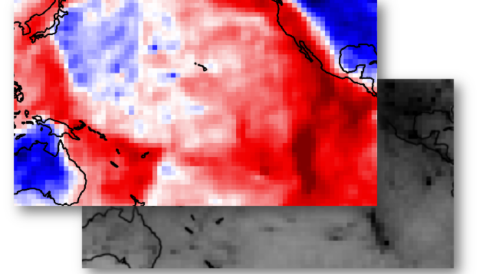
Geodynamicists often try to answer scientific questions related to the Earth interior, but direct observations of such depths are rather limited–unless you are character in a Jules Verne’s novel or a prominent scientist in the movie The Core–. A way to deal with this issue is to rely on indirect methods, with seismic tomography being one of the most widely used by geoscientists. Howeve ...[Read More]
The Sassy Scientist – Where the wild grids are
In the labyrinth of scientific research, one often finds themselves at the crossroads of data accessibility and the desire to reuse and build upon other people’s work. All too frequently, results are presented in a format that cannot be read by the computer. Does your favourite Geochemistry paper come with a PDF table, but no excel spreadsheet on the sight? Been there. Wondering what lies beneath ...[Read More]
The enigmatic tectonics of the Caribbean Large Igneous Plateau
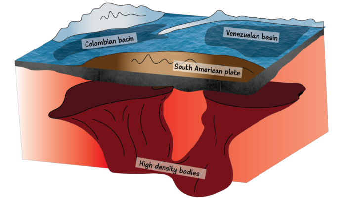
As we approach the Christmas break and the end of the year, what resonates with the concept of ‘holidays’ more than the Caribbean? In this week post, Angela Gomez-Garcia, postdoc at the Geoscience Institute of Barcelona, and Eline Le Breton, professor at Freie Universität Berlin, take us on a geodynamic journey through the Caribbean Large Igneous Plateau and its enigmatic connection with the Galáp ...[Read More]
T for temperature in seismic [T]omography and more
Seismic tomography, a powerful geophysical technique, is like the Sherlock Holmes of the Earth’s interior. It helps us uncover crucial information about the lithosphere and mantle, including temperature and density distributions. Understanding these physical properties is vital for a wide range of geological applications, from identifying regions of strain localization to assessing geotherma ...[Read More]


![T for temperature in seismic [T]omography and more](https://blogs.egu.eu/divisions/gd/files/2023/10/Featured-image-1-700x400.jpg)