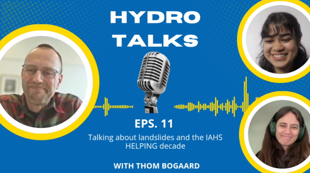
For episode 11 of HydroTalks, we welcomed Prof. Thom Bogaard of Delft Technical University and visiting professor at Kasetsart University, Bangkok. His research explores the intersection of hydrology, geomorphology, ecology, and natural hazards. We discussed his work on understanding how water triggers landslides, improving regional early warning systems, and developing practical solutions that reduce disaster risk. We also touched on Prof. Bogaard’s role as the chair of IAHS-HELPING Hydrological Decade.
You can check out the podcast episode here or read the interview summary in this blog!
How does water contribute to landslides?
Water is the primary trigger for many landslides because rising groundwater increases pore water pressure and reduces soil strength. This weakens the connection between soil particles, making slopes less stable and more likely to fail.
How do hydrology, ecology and geomorphology together contribute to triggering a slope failure or preventing it?
Landslides are inherently interdisciplinary. Vegetation reinforces soil through roots and affects infiltration, evapotranspiration and water storage. Geology and geomorphology also matter because slope angle, soil thickness, permeability and rock type control how water moves and how much strength a slope can maintain. Human activity can further destabilize slopes, especially in the Anthropocene.
How does water chemistry play a part?
Water chemistry helps trace where water comes from within a slope because different rocks leave different chemical signatures. It also affects soil strength. In marine clay deposits for example, freshwater infiltration can change the internal structure of the clay and reduce its strength, allowing failure after only a small trigger.
Is it possible to predict landslides? And how challenging is it to predict?
To some extent, yes. Landslide prediction is difficult because failures are rare, extreme events. For individual slopes, engineers use models, lab tests, rainfall thresholds and monitoring-based early warning systems. At regional scales, rainfall, antecedent hydrology and susceptibility maps estimate probability. The biggest challenge is reducing false alarms.
How is weather radar used for land slide early warning systems?
Weather radar converts raw reflectivity signals into rainfall intensity. This is especially useful in places like Southeast Asia, where intense local rainfall cells trigger flash floods and landslides. Corrected rainfall fields can forecast where heavy rainfall may move over the next 3 to 6 hours, supporting early warning and evacuation.
Is rainfall location enough and how accurate are predictions?
Rainfall location helps, but it is not enough. I use high-intensity rainfall cells to identify risky sub-catchments rather than exact slope failures, because that would need heavy physical models. Often, warnings are issued with caution and it turns out to be a false alarm.
What are the biggest gaps in reducing major losses due to landslide disasters?
The key challenge is not only scientific knowledge, but communicating risk so society can act. Landslides, floods and flash floods cannot be fully prevented, but susceptibility maps, remote sensing, spatial planning, rainfall thresholds and impact-based forecasts can reduce exposure and improve warnings.
How will climate change affect landslides?
Climate change is increasing landslide risk because landscapes are no longer in equilibrium with ‘new’ changed climate conditions. Overall, we see stronger hydrologic cycles increasing hazard in many regions. At the same time exposure is rising as more people and infrastructure are located in high-risk areas.
What are nature based solutions and some challenges in using those solutions?
Nature-based solutions work with natural conditions while providing ecological and social benefits such as biodiversity, cooling and well-being. I strongly support them, but their long-term performance is still uncertain. Ecosystems evolve over decades, and we do not fully understand how these systems co-evolve with hydrological conditions or what feedbacks may emerge.
What are the main objectives of the HELPING Hydrological Decade?
In hydrology especially, I notice a clear tendency from a fundamental scientific focus toward work that is intended to be used directly by society. For me, the core task is working with stakeholders to co-develop solutions and develop scientific methods how to do that, because every hydrological problem is locally expressed but globally driven.
What are your achievements since you’ve become the chair in 2025?
Definitely not for my own contribution, but I’m super proud for the energy and the grassroots culture and achievements of my predecessors. For example, if you now come up with a new initiative and you write a small proposition for it, you can create in EGU session on it. That type of dynamic is fantastic.
What is the biggest breakthrough in hydrological research in the last 10 year? And what do you think are the trends for the next 10 years?
The biggest breakthrough in the last 10 years, is that hydrology has become truly multidisciplinary. For the next 10 years, I think the priority is improving uncertainty quantification and being careful about overpromising results. I also see major challenges in understanding the unknown effects of climate adaptation and response of how water systems to climate change and society.
Could you share the best and worst piece of career advice that you’ve ever received?
The worst advice I received was that I should strictly focus my scientific career in a narrow direction. The best advice is to have the guts to follow your heart and work with people where you really have a click, because science is about humans, not only careers.
Check out the full episode.