We geoscientists need all different kinds of data: soil moisture, water-levels, snow height, radiation, precipitation height and the list goes on. However, the devices we need to generate that data are often too expensive, not available or even don’t exist. Therefore, it’s sometimes necessary to build them yourself (like many geoscientists do – those who annually present their senors p ...[Read More]
Care to get your boots wet? The ‘Partial Surface Water Challenge’

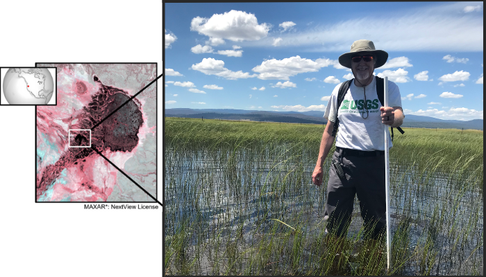
The author plants a marker alongside a submerged temperature/inundation sensor in a 356 square kilometre wetland in south-eastern Oregon, USA. Photo credit: Anteneh Sarbanes (USGS)
Inland surface water is a critical resource when scarce and a potential hazard when floods occur. Because the extent of surface water affects habitat condition, weather, and biogeochemical cycles, our ability to accurately track variations in surface water extent is important for resource management, science, commerce, hazard mitigation, and policy making. Openly distributed data derived from sat ...[Read More]

