The Nučice experimental catchment (0.531 km2) is located 30 km east of Prague in an agricultural landscape in the Central Bohemian Region, Czech Republic (Figs. 1 and 2). The cultivated landscape and climatic conditions are representative of farmlands of the Czech Republic. To understand water balance, rainfall-runoff and soil erosion processes on the cultivated landscape, we started hydrological and meteorological monitoring at the Nučice catchment in 2011.
Catchment characteristics
The catchment has an average altitude of 401 m a.s.l. and slopes ranging from 1% to 12%. The climate is humid continental with an average annual precipitation of 630 mm (period 1975-2015), mean annual potential evapotranspiration between 500 and 550 mm, and mean annual air temperature of 7.9 °C. The catchment is drained by a 950 m long, narrow stream which begins as a subsurface drainage pipe in the uppermost field. The channel has a trapezoidal cross-section that is 0.6 m wide at the stream bed with an average depth of 1.5 m.

Figure 2. The instrumentation at the Nučice experimental catchment. Photo credit: Tailin Li
The catchment is divided into three fields. The standard crop rotation is dominated by winter wheat (Triticum aestivum L.), rapeseed (Brassica napus), summer oats (Avena sativa), and alfalfa (Medicago sativa). The soil texture is sandy loam (9% clay, 58% silt, and 33% sand, on average). Based on a geophysical monitoring and a geological borehole survey conducted at a close-by location, the bedrock ranges in depth from 6 to 20 m. The soil is tilled to approximately 12 cm, and below the tilled topsoil there is a compacted plough pan with low hydraulic conductivity.
Hydrometeorological monitoring
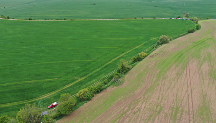
The hydrometeorological monitoring started in 2011. Precipitation is recorded by four rain gauges (two are included in the meteorological stations) distributed in the catchment. Besides, two additional eddy covariance towers have been installed recently to observe the evapotranspiration from two different fields (Fig. 3).

Figure 3. ET tower installation. Photo credit: Tailin Li
Discharge is monitored at two locations in the stream (Fig. 4). The first gauge site is in the culvert below the upper field; a pressure probe is installed for water depth monitoring and the discharge is calculated based on the circular culvert free-flow discharge relationships. The second gauge site is at the catchment outlet, where there is a flume with an H-type facing that is serially connected to a triangular overflow Thomson weir (90° V-notch) installed approximately 5 m further downstream. In addition, we record stream water temperature, electrical conductivity, and turbidity at the outlet. Furthermore, we plan to install two additional discharge measurements along the stream.
To understand the dynamics of soil moisture, we installed two cosmic-rays neutron sensors (StyX Neutronica) for large scale (over an area of approximately 5 ha) topsoil water content estimation (Fig. 5). Besides, soil water dynamics are also monitored at three additional sites by water content reflectometers (CS650, Campbell Sci.) at depths between 10 and 60 cm (Fig. 6). Moreover, we plan to measure the soil water regime (soil water content, matric potential, temperature) at 19 locations overlapping the cosmic-rays measuring areas, typically at the edges of the fields (SWC nests consist of 9 SMT100 SWC probes – Truebner GmbH – and a datalogger). In addition, several field surveys (with Hydrosense II probe) have been conducted to investigate the spatial distribution of the topsoil (the top 12 cm) water content (Fig. 6).

Figure 4. Flood wave experiment (catchment outlet). Photo credit: David Zumr
Shallow groundwater levels have been measured by several piezometers installed along the powerline and close to the outlet of the catchment. Furthermore, we plan to conduct stable isotope (2H, 18O) sampling from the stream (two sections, ISCO samplers), rainfall (automatic rainfall samplers and bulk samples), groundwater and soil water (suction cups).

Figure 5. The installation of cosmic-ray probes. Photo credit: Tailin Li

Figure 6. Soil moisture measurements (Hydrosense II; CS650; and cosmic-ray sensor). Photo credit: Tailin Li
Current understanding and open research questions
Thanks to the on-going hydrometeorological observations, we have developed a better understanding of the hydrological behaviour of the Nučice catchment:
- The catchment often exhibits dry conditions during the summer, and the baseflow recorded at the catchment outlet declines to 0-0.2 L s-1, while in winter and early spring the baseflow is around 4 L s-1.
- The average annual runoff coefficient is 1%. The runoff coefficient is low since the shallow groundwater level is usually below the water level in the stream, and some water leaves the catchment as unmonitored groundwater flow.
- Runoff has a threshold response to rainfall. Based on the rainfall-runoff data, we have identified a rather scattered rainfall-runoff relationship with a strong dependence of the runoff on the actual topsoil saturation.
- Even though the channel is straight and short, it has a high retention capacity and the flood wave peaks during runoff events are attenuated. The channel serves as a trap for eroded sediment during the summer months due to dense instream vegetation.
- Even though the arable soils are seemingly homogeneous, they exhibit a high spatial and temporal variability of the soil moisture.
On-going research questions at the Nučice are:
- What are the main water sources contributing to runoff during rainfall events?
- Which landscape characteristics dominate the dynamic of water flow and mixing at the catchment scale?
- How to obtain the travel time distribution and identify flow pathways at the catchment scale?
- What are the dominant factors that determine the spatial soil moisture variability within agricultural catchments?
- How does the agricultural activity affect the rainfall-runoff processes, the dynamic soil moisture patterns, and the water balance?
If you are interested in our research, please check more information at our department website or contact us by email: tailin.li@fsv.cvut.cz; david.zumr@fsv.cvut.cz.
Author information:

Tailin Li is a PhD student at the Czech Technical University in Prague (the Czech Republic). His research interests are hydrological modelling, soil moisture spatial-temporal distribution, hydrological cycle in small scale agricultural catchments.

David Zumr is an environmental engineer and assistant professor at the Czech Technical University in Prague (the Czech Republic). His main research interests are soil hydrology, catchment hydrology, rainfall-runoff processes, temporal and spatial soil hydraulic properties variability, numerical modelling of soil water regime, and the use of geophysical tools for soil profile surveying.
Edited by Giulia Zuecco