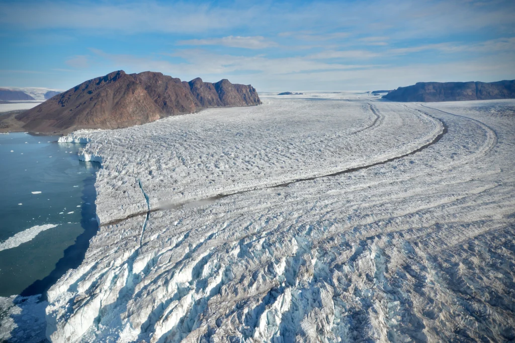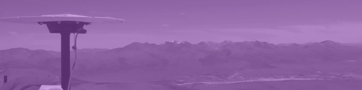
The Gravity Recovery and Climate Experiment (GRACE) satellite mission (2002-2017) consisted of two satellites at ~500 km altitude separated by 200 km, following each other in the same orbit. The distance between the two GRACE satellites changes because of the gravitational pull of the masses beneath the satellites. As such, mass changes at or near …[Read More]
Geodesy
Bits and Bites of Geodesy — Where is the centre of the Earth? Why do we care?
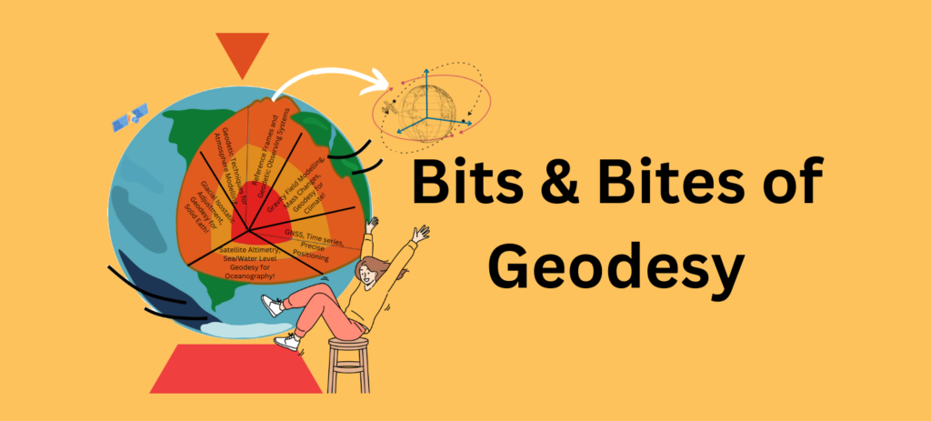
We introduce you to our new blog series Bits & Bites of Geodesy. In this blog post series, we aim to communicate small chunks of geodetic fun facts that are easy to digest. In short, posts meant for everyone, facts about geodetic measurement techniques, challenges, and concepts are presented. These bite-sized articles will unravel the …[Read More]
Geodesy Division Year In Review 2023
Hi EGU Community! We hope that you had some rest during the holidays and are ready for this new year ahead! With the first blog post of 2024, we want to look back at what happened in the G Division during the last year and give an outlook on what you can expect for the …[Read More]
Calculating postglacial sea-level change within few seconds: a statistical emulator for GIA
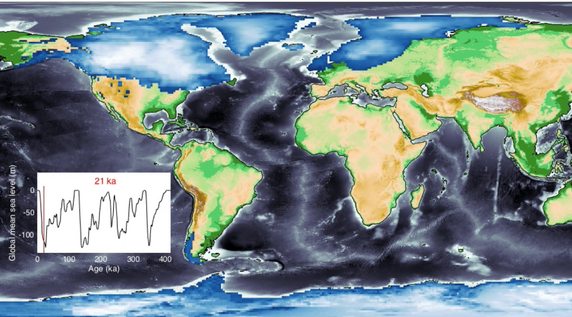
Sea-level change serves as a direct indicator of climate change with profound implications for coastal areas. Since 1900, the global mean sea level (GMSL) has risen over 20 cm, leading to beach erosion, delta inundation, and increased flooding worldwide. Over glacial cycles spanning tens of thousands of years, interactions between ocean and continental-scale ice sheets …[Read More]
Reshaping Earth: GIA and its far-reaching effects
As the Geodesy blog team (we are growing, horaay!), we wanted to create a space for researchers to talk about their work/papers in a more simplified language. For the first post in this series, we said “Wouldn’t it be cool if we learn more about Glacial Isostatic Adjustment (GIA) models?” then we realised that we …[Read More]
Geodesists on Tour: On a Campaign in the Arctic with a Giraf(f)e in the Aircraft
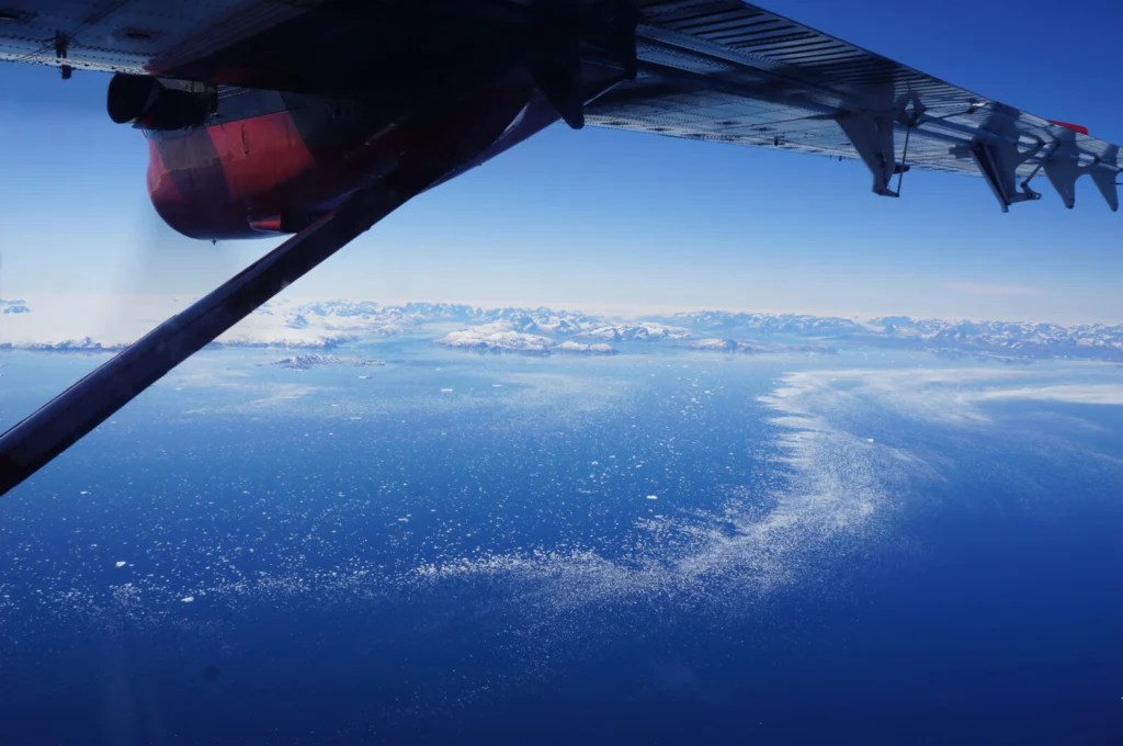
Way too early on a Saturday morning in late June 2023 I woke up and started my travel to a small airport in Akureyri, North-East Iceland. This is the location of an Icelandic charter company called Norlandair that we used for our airborne geophysical surveys and logistic operations in the Arctic. For a few months …[Read More]
Geodetic reference frames – Why do we need them?
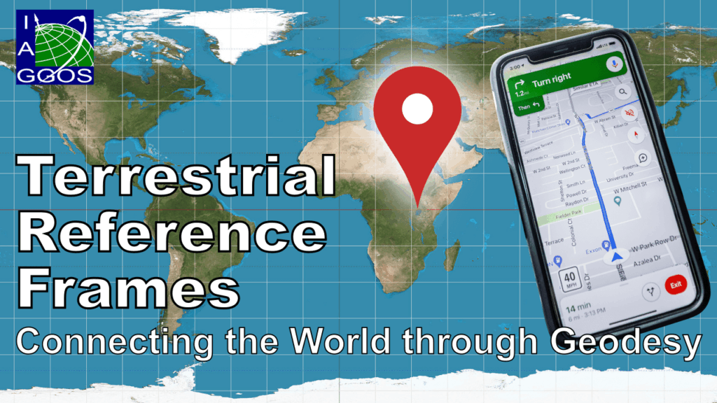
A geodetic reference frame provides the foundation for determining positions on Earth and in space, as well as for reliably quantifying our planet’s changes due to geodynamic processes and ongoing climate change. The ITRF ensures a uniform basis to tackle current and future challenges, including a wide range of location-based applications (navigation, traffic and …[Read More]
EGU Campfire Geodesy – Share Your Research – Seventh Edition
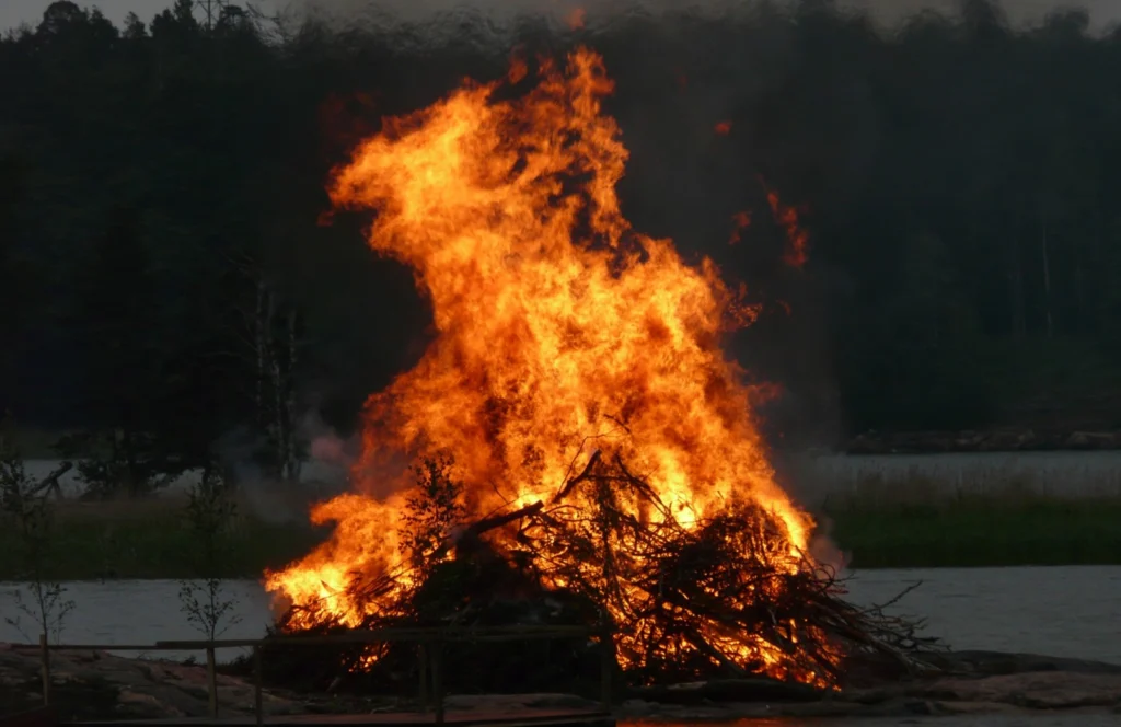
We are finally back with the 7th edition of Geodesy Campfire – Share Your Research. The Geodesy EGU Campfire Events “Share Your Research” give (early career) researchers the chance to talk about their work. We have two exciting talks; the first is by Stacy Larochelle and the second is by Parisa Shafiei. Below you can …[Read More]
Postdoc Diaries: Challenges of Postdoc Life
Hello, it’s us again! Coming back from the holidays, there couldn’t be a more fitting way to kick off a new blog season than by delving into the world of postdocs or to put it more precisely, by stepping into the shoes of a postdoc. As we try to reacquaint ourselves with our daily routines, …[Read More]
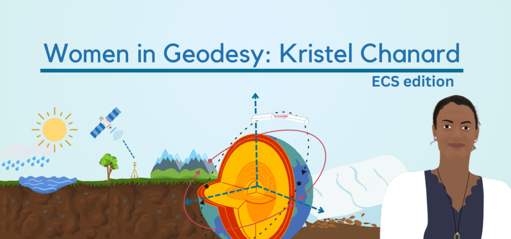
Women in Geodesy: Kristel Chanard
I hope you are ready to be inspired because we have another exciting interview, with Kristel Chanard, our Outstanding Early Career Scientist Awardee of 2022. I promise that her answers will encourage you to pursue a career in science or continue to that! Her answers remind us again that we need to make geosciences more …[Read More]