The EGU mentoring programme: Experiences from mentor and mentee perspectives Each year, EGU offers a mentoring programme to pair a more experienced conference “veteran”, defined as having participated in a General Assembly (GA) at least two times, and a conference “newbie”. As we’re getting closer to the GA period, the submission deadline for the mentoring programme is on 17.03.25, and the ultimat ...[Read More]
The EGU mentoring programme: Experiences from mentor and mentee perspectives
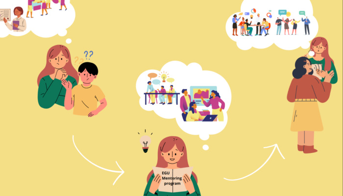
Finding your way through a conference using the EGU Mentoring Programme (Figure courtesy: Öykü Koç)