
Welcome to the blog of the Geodesy (G) Division of the European Geosciences Union. The blog serves to keep you posted on current research, news from the division, and interesting geodesy-related topics in general. It will also give room to feature young (early-career) scientists and their science. An enthusiastic team of (Early Career) Scientists (ECS) runs the blog. Are you interested in writing a blog entry or learning more about the ECS activities of the geodesy division? Please email ecs-g@egu.eu.
About
Editors
Contact: blog-g@egu.eu
 Bene is a PhD student at ITC, University of Twente in the Netherlands. In their study they combine satellite altimetry and optical remote sensing in order to separate the geometrical influence of sea level rise on coastlines from the influence of morphological processes.
 Fikri is a researcher at the Royal Observatory of Belgium (ROB). He is responsible for developing the EPOS-GNSS Data Quality Monitoring Service (DQMS), which monitors the availability and quality of daily GNSS data made discoverable through the EPOS (European Plate Observing System) platform. Currently, his research focuses on an exploratory study of the use of GNSS data quality in GNSS-derived products.
 Leire Retegui-SchiettekatteLeire Retegui-Schiettekatte is a PhD candidate in Aalborg University (Denmark). She currently works on the multi-sensor assimilation of GRACE TWS and satellite-derived soil moisture into land hydrological models. In the past she has also worked on GNSS- Precipitable Water Vapor estimation.
 Marius is a PhD student at the chair for Astronomical and Physical Geodesy at Technical University of Munich. He is working on long-term simulations of gravity field recovery from satellite gravity missions. His focus is on time variable gravity field, developing processing strategies such as long-term trend estimation for climate applications.
 Öykü obtained their PhD from Politecnico di Milano (Italy). Their research focuses on time-variable gravity field recovery from satellite data to estimate total water storage, solid Earth activities and more. They also worked on mitigating temporal aliasing for future gravity mission concepts with quantum technologies. You can find Öykü on linkedin and on bluesky as @oykukoc.bsky.social
 Dr. Radosław Zajdel is a GNSS specialist at the Geodetic Observatory Pecný (GOP), whose research interests include precise orbit determination of GNSS satellites and determining essential geodetic variables from multi-GNSS solutions.
 Rebekka is a researcher within geodesy at Lantmäteriet (The Swedish Mapping, Cadastral and Land Registration Authority) and received her PhD from the University of Calgary (Canada). Her research focuses on the modelling of changes in the displacement and crustal stress field due to past and current ice-mass changes. She also works on the development of a European velocity model.
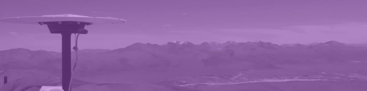
Banner image
Trimble at 5300m
Credit: Nicolas Le Corvec (distributed via imaggeo.egu.eu)
Disclaimer
The opinions expressed in the Geodesy blog are those of the authors, whose views may differ from those of the European Geosciences Union.