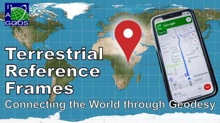
G
Geodesy

Martin Sehnal

Martin works at the Federal Office of Metrology and Surveying (BEV) in Vienna, Austria. In addition to his GNSS (Global Navigation Satellite Systems) activities in one of the EUREF (Regional Reference Frame IAG Sub-Commission for Europe) analysis and data centers, he acts as the director of the GGOS (Global Geodetic Observing System) Coordination Office to ensures optimal coordination of the activities of the various GGOS components and to manage GGOS outreach activities.

Geodetic reference frames – Why do we need them?

Geodetic reference frames – Why do we need them?

  A geodetic reference frame provides the foundation for determining positions on Earth and in space, as well as for reliably quantifying our planet’s changes due to geodynamic processes and ongoing climate change. The ITRF ensures a uniform basis to tackle current and future challenges, including a wide range of location-based applications (navigation, traffic and fleet management, transport ...[Read More]

Geodetic Data and Products – Idea of a Central Access Point

Geodetic Data and Products – Idea of a Central Access Point

  The services of the International Association of Geodesy (IAG) provide very important and valuable geodetic data, information, and data products that are increasingly relevant for Earth System research, including monitoring of global change phenomena and a wide range of diverse applications such as satellite navigation, surveying, mapping, engineering, geospatial information systems, and so ...[Read More]

The comprehensive Geodetic Information Portal of GGOS

The comprehensive Geodetic Information Portal of GGOS

The Global Geodetic Observing System (GGOS) of the International Association of Geodesy (IAG) is a collaborative contribution of the global geodesy community to the observation and monitoring of the Earth System. Geodesy is the science of determining the shape of the Earth, its gravity field, and its rotation as functions of time. Essential to reaching this goal are stable and consistent geodetic ...[Read More]