Way too early on a Saturday morning in late June 2023 I woke up and started my travel to a small airport in Akureyri, North-East Iceland. This is the location of an Icelandic charter company called Norlandair that we used for our airborne geophysical surveys and logistic operations in the Arctic. For a few months I had been preparing a survey to test a new quantum-based technology for airborne gravity measurements and approximately one month before more than one ton of equipment was shipped to the location. In Iceland I was meeting my other colleagues and together with two pilots we were going to spend the coming two weeks carrying out survey flights in both Iceland and Greenland.
plans need to be adapted once you are in the field
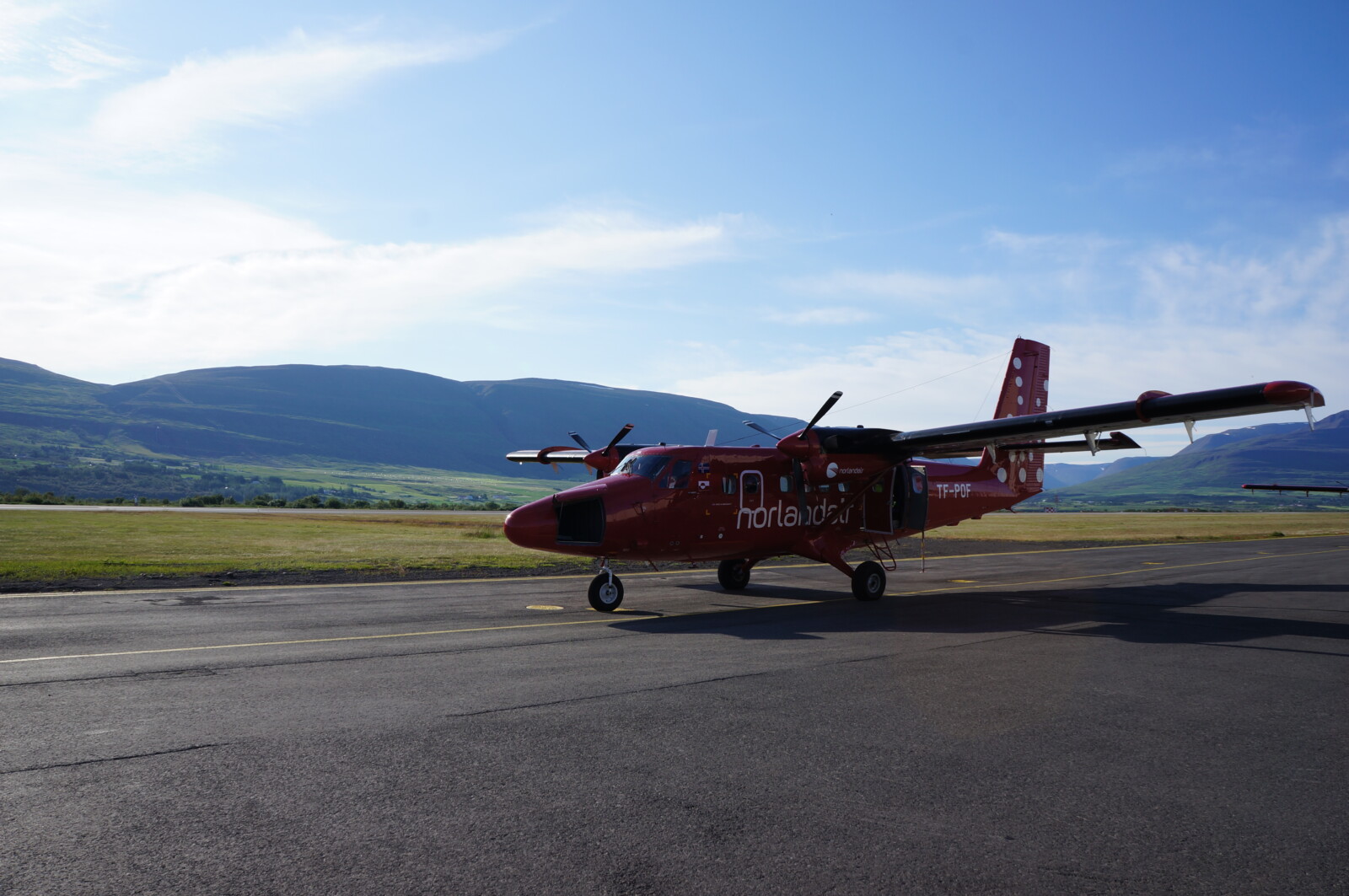
The De Havilland Canada DHC-6-300 Twin Otter Aircraft from Norlandair used for the survey
As it is always the case with these kinds of campaigns there is a limit to what you can plan for ahead. I have been working with airborne gravity surveys for almost ten years and know from experience that plans need to be adapted once you are in the field. I am still amazed by all the helpful people I meet around the world – such surveys are only possible with the support of these people. Upon the first task was: locate the aircraft, the instruments and the people who can help me access those things. Arriving during the weekend makes these things slightly more challenging, but after a few phone calls and some waiting time, we finally had what we needed. The next challenge was that the aircraft just came back from another survey, so before we could start installing our equipment, we needed the skies demounted and the interior modified. Again, after a few phone-calls a couple of mechanics showed up to help us. They even gave me a crash course using the forklift so that they do not need to sit around for us to prepare our equipment. The next three days were used for testing the instruments and installation in the aircraft. Although we have used this aircraft before, every installation is unique, which means that things such as power cables and mounting plates often must be made or reconstructed on site. This time was no exception.
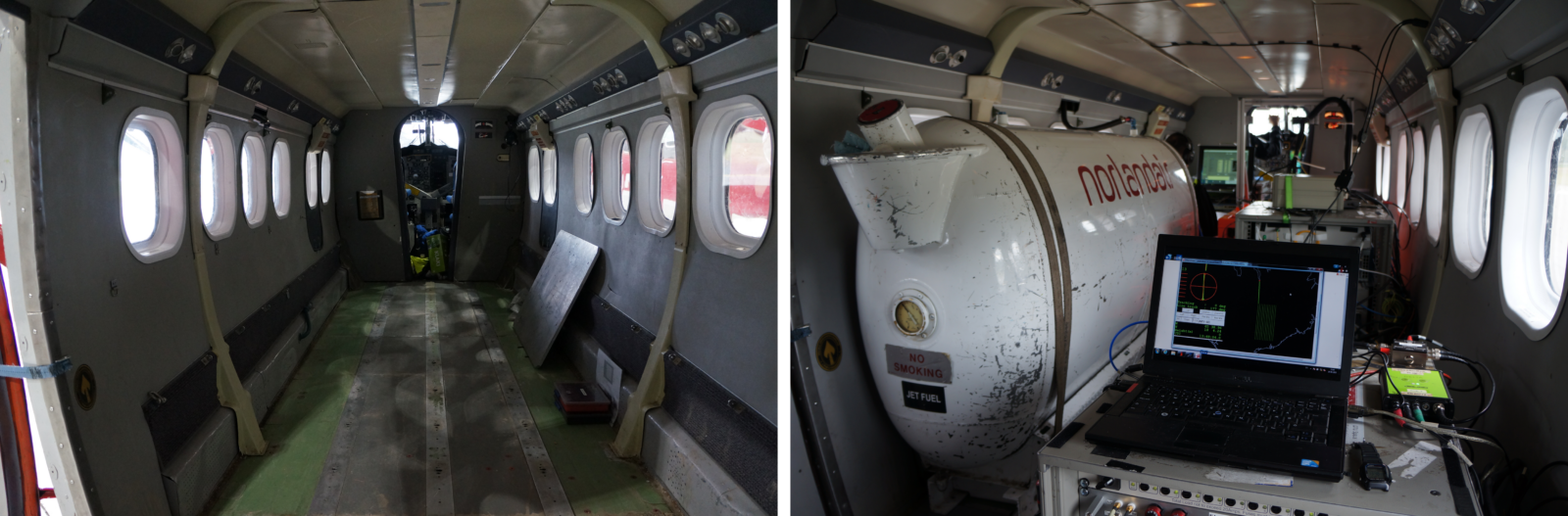
View of the cabin before (left) and after (right) installation.
Following installation, a test flight was performed to test if everything works. Once we got airborne, our monitors show that something was wrong – we were not acquiring useful data. After testing several ideas, we were not able to fix the issue in the air and returned to the airport. As soon as the aircraft power was turned off, the issue disappeared by itself. Thus, the problem must be related to the power supply, possibly improper grounding or an issue with the inverter converting the 28V aircraft power supply to 230V needed for the instruments. After some time, we identified an issue with the power cable between the inverter and the instruments. After replacing this cable, a new successful test flight was carried out. We were now ready to start the actual survey!
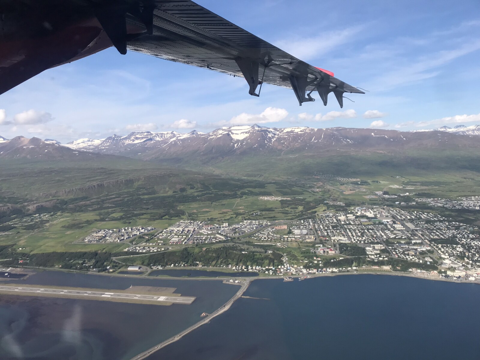
View of Akureyri from the aircraft.
The first part of the campaign took place in Iceland. The European Space Agency (ESA) is interested in validating this new quantum technology for future satellite missions. Satellite gravity missions are used to monitor temporal variations in the gravity field originating from movement of mass on or below the surface of the Earth. The first task was re-measuring an area of the Vatnajökull ice cap that was surveyed six years earlier – ideally, we would be able to correlate any differences between the two surveys with changes of the ice cap. Additionally we were targeting two active volcanoes that are also expected to have associated mass change [1], [2].
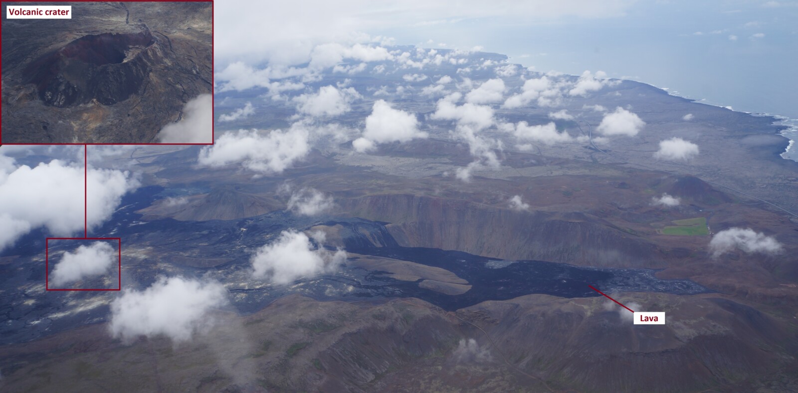
View of one volcano we flew over. This volcano erupted two days later.
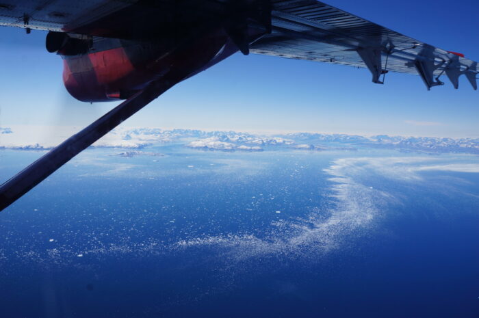
Following the survey in Iceland, we made a transit to Nuuk, the capital of Greenland. The weather did not permit us to fly across the ice cap, so we had to make a long detour south to Narsarsuaq before flying north to Nuuk. One purpose of this survey was to collect gravity data for the definition of a new vertical reference frame in the region. Basically, since gravity dictates the flow of water, we can theoretically compute the ocean surface even in areas far from the ocean. This allows us to use the term “height above sea level” anywhere on the planet. Additionally, we tested the quantum gravimeter in ways it was never designed for. This was interesting for us, because we plan to build a completely new version of the instrument in the coming three years.
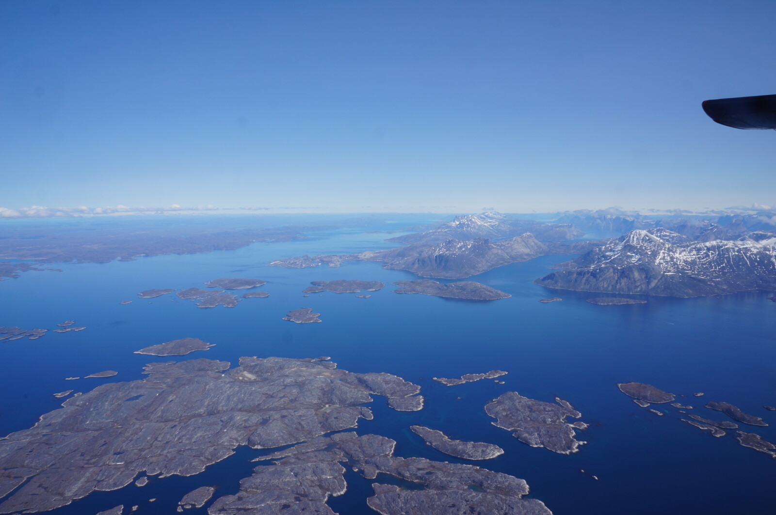
View of Nuuk from west with the sorrounding fjords, mountains and inland ice further inland
Having completed both parts of the campaign we headed back to Akureyri to start removing all the equipment from the aircraft. Getting everything out and properly packed took a couple of days. But we had two excellent weeks in good company and tasty food. Funding for this campaign came from ESA and the Danish Ministry of Defence Acquisition and Logistics Organization (DALO), and colleagues from both institutions visited us during the two weeks. Although we had very long and exhausting workdays, I appreciated the luxury of not having to cook and do dishes every day. 😊
I am still amazed by all the helpful people I meet around the world – such surveys are only possible with the support of these people.
P.S. In case anyone is wondering what happened with the giraf(f)e: the French Aerospace Lab, ONERA, who built the quantum gravimeter, named their instrument GIRAFE.