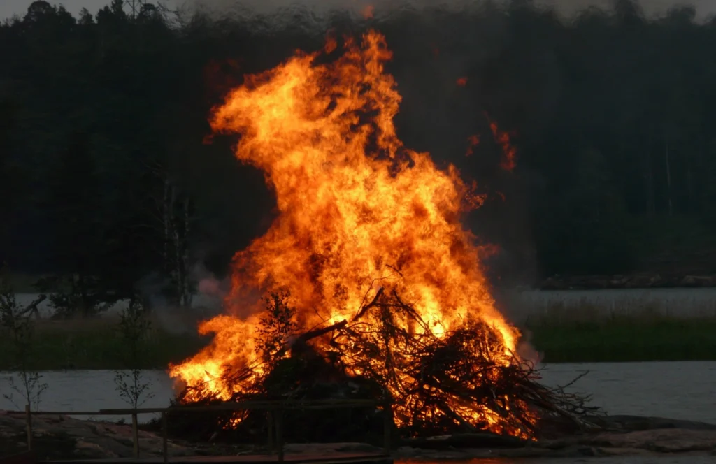
We are excited to announce the 24th edition of Geodesy Campfire – Share Your Research in November. The Geodesy EGU Campfire Events “Share Your Research” give (early career) researchers the chance to talk about their work. We have two exciting talks by our guest speakers, Alexey Kupriyanov and Marcel Iten. Below, you can find the details of the topics awaiting us. We will have time to network after the presentations.
Please join us on Zoom on 19th November 2026 from 14:00 to 15:30 (CEST). Register for this webinar here.
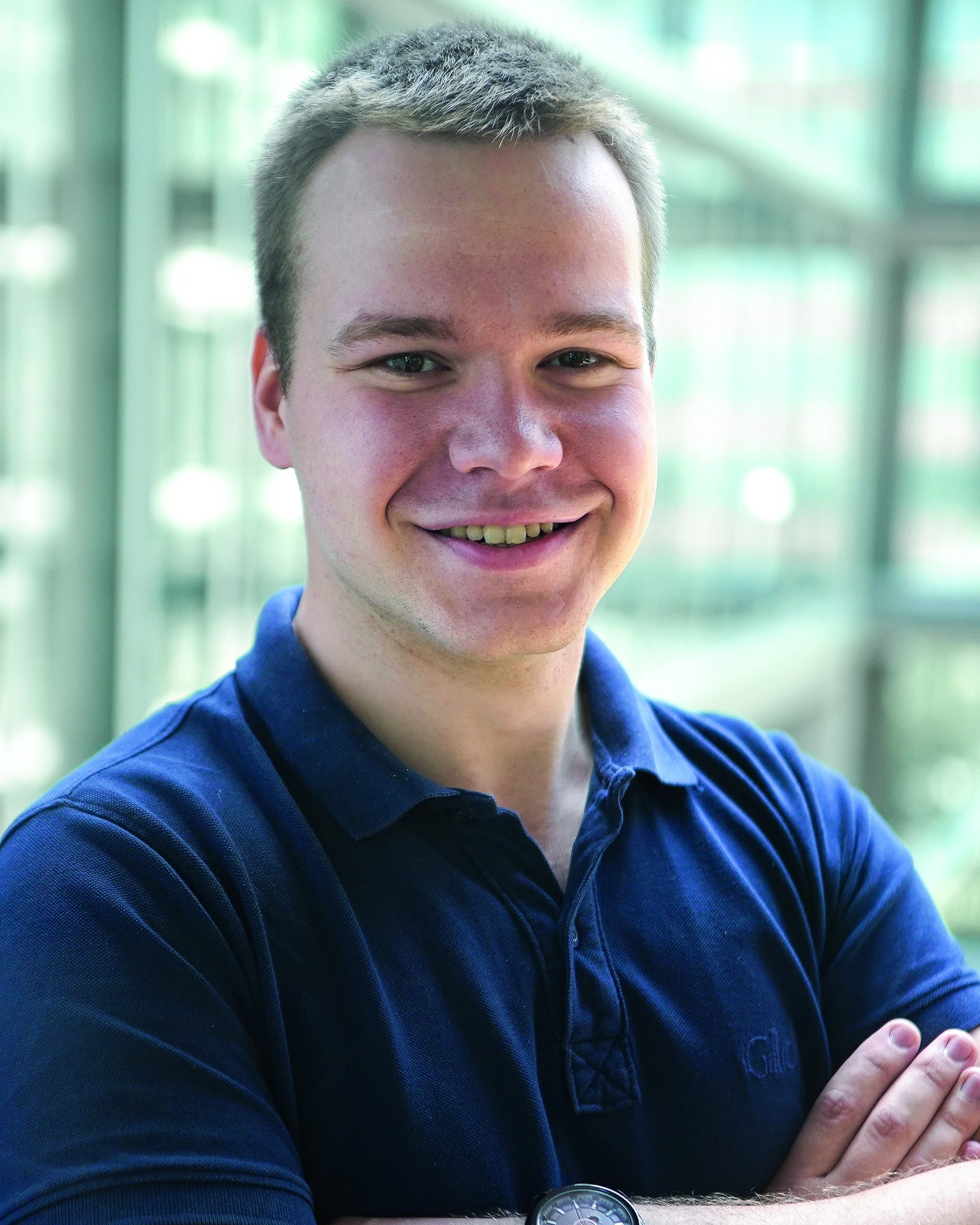
Alexey Kupriyanov @TUD Dresden University of Technology, Germany:
Geodesy of a Changing Antarctica: From Ice-Sheet Mass Balance to GIA.
Alexey Kupriyanov is a postdoctoral researcher at the Institute of Planetary Geodesy of Dresden University of Technology. He obtained a Dr.-Ing. degree in future satellite gravimetry from Leibniz University Hannover as part of the collaborative initiative Relativistic and Quantum-based Geodesy. His research expertise includes satellite geodesy, GNSS, ice-sheet mass balance, spaceborne instrumentation and remote sensing. He is currently involved in several projects, including Advancing the Understanding of Glacial Isostatic Adjustment in Antarctica, where he focuses on GNSS data processing at bedrock sites. He also contributes to ESA Climate Change Initiative projects on Antarctic and Greenland ice sheets, specializing in gravimetric mass balance and component partitioning from satellite observations.
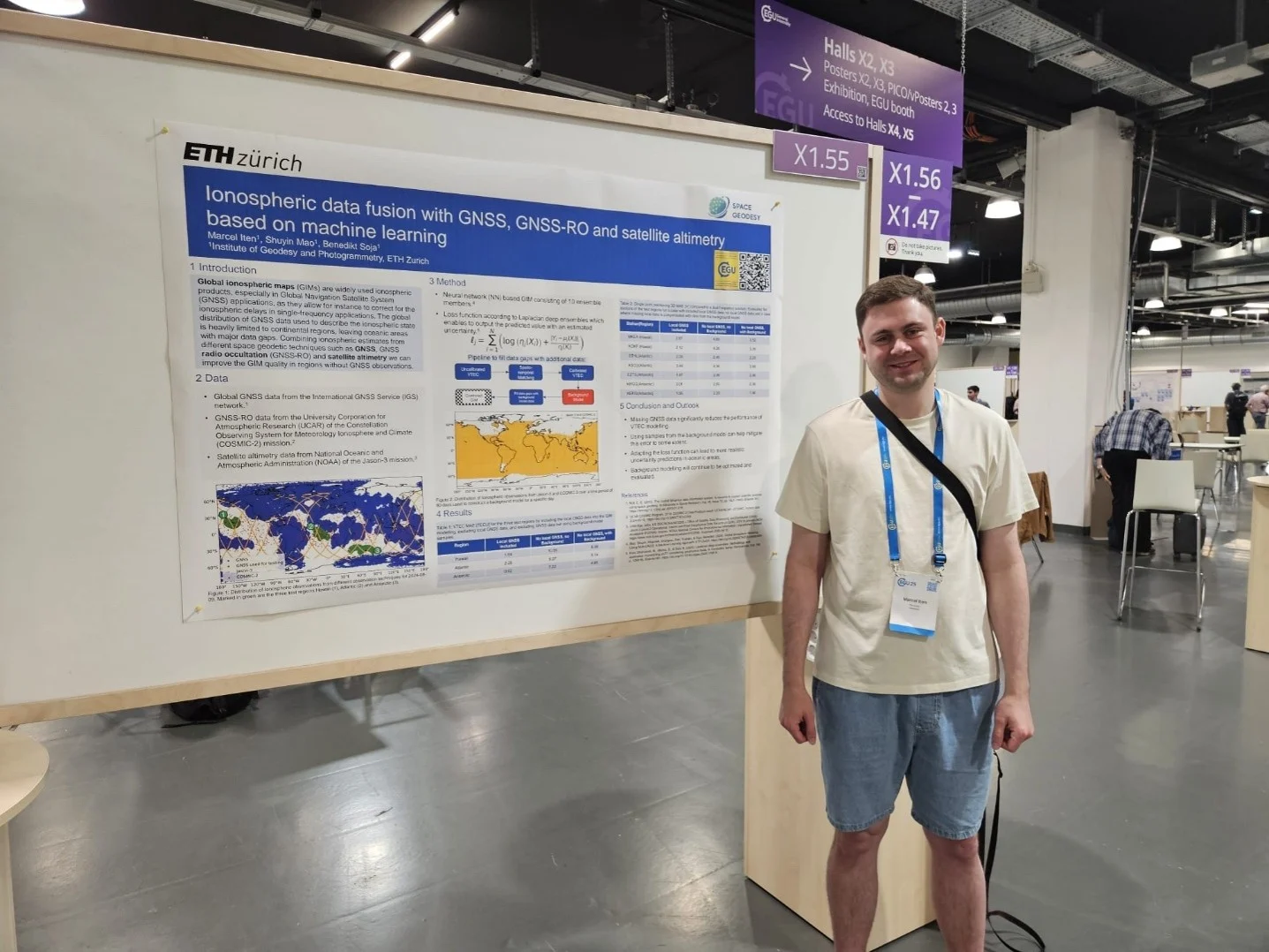
Marcel Iten @Institute of Geodesy and Photogrammetry, ETH Zurich, Switzerland:
Ionospheric data fusion with GNSS, GNSS-RO and satellite altimetry based on machine learning.
Marcel Iten is a PhD student at the Institute of Geodesy and Photogrammetry, ETH Zurich, where he started in late 2023 after completing an MSc in Geomatics. His research focuses on ionosphere modelling and monitoring with machine learning, combining ground-based GNSS observations with other space geodetic techniques.
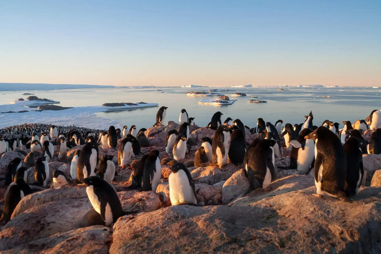
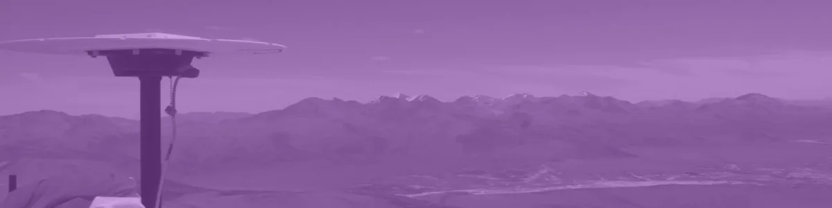
Image credit Baptiste Gombert (distributed via imaggeo.egu.eu)
Time to connect!
After the presentations, we invite everyone in the audience to turn on their camera and microphones, if possible. Participation via the chat is of course also possible. We will start with a short introduction round to get an idea of who is in the room. So if you like to, you can already think about how to summarise your research in a few words so that mortals can also understand it! We’re also open to hear about your favourite dinosaur, your latest burnout, or the 4th element on your tasks list today. Just be there and be talking, we guarantee for the awkwardness.
We are always looking for speakers for upcoming Geodesy EGU Campfire Events “Share Your Research”. Are you interested in giving a talk? Then, please express your interest by filling out this form.
If you have any questions about the Geodesy EGU Campfire Event, please contact the Geodesy ECS Team via ecs-g@egu.eu.
We look forward to seeing you at the Campfire!