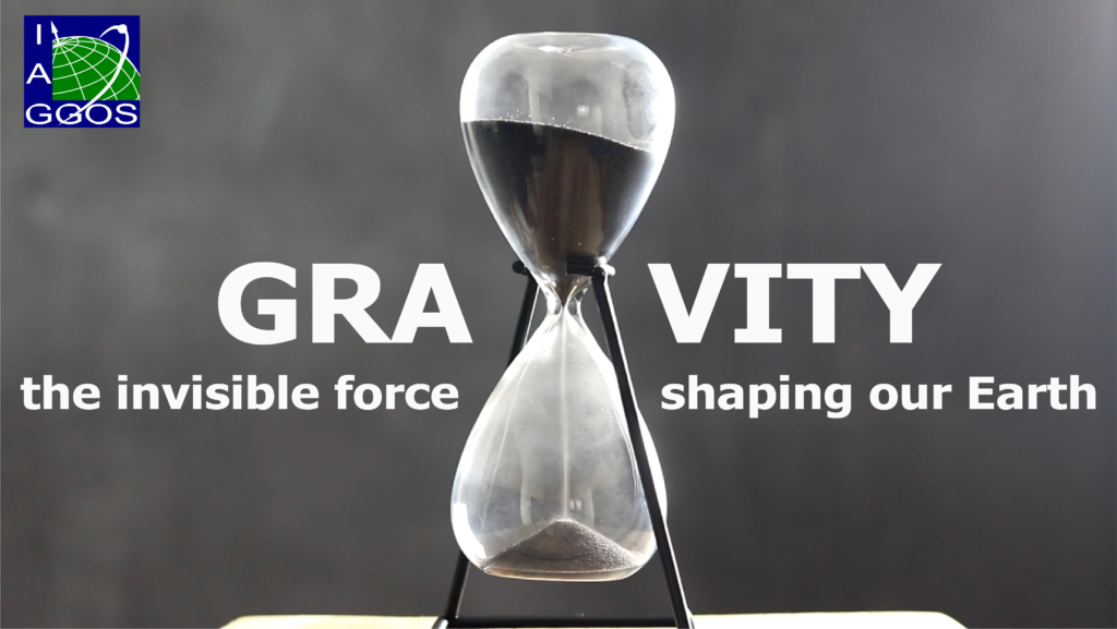
How do geodesists measure gravity? And what does it reveal about our planet? Gravitation is one of the most familiar forces in everyday life, yet almost no one can explain how geodesists use it to monitor a changing Earth. A new short film from IAG’s Global Geodetic Observing System (GGOS), “Gravity – The Invisible Force Shaping Our Earth” sets out to change that translating decades of geodetic gravity research into eight minutes that anyone can follow.
Why gravity, and why now
Gravity is not uniform across the globe. It varies subtly with the distribution of mass beneath our feet – mountains, ocean basins, ice sheets, groundwater — and it changes over time as that mass shifts. Melting glaciers, draining aquifers, and shifting ocean currents all leave a signature in the gravity field that satellites and ground instruments can detect. For scientists, these tiny variations are a powerful diagnostic tool: they reveal ice-mass loss in Greenland and Antarctica, track groundwater depletion, and help refine models of sea-level rise. For most people outside the field, however, gravity’s role in Earth observation remains completely invisible, which is exactly the gap this film tries to close.
Made by the community, for the community and beyond
The film was produced over the course of about a year by more than 50 volunteering contributors from across the IAG-GGOS community, who generously donated their time and expertise to translation, narration, review, and production. The result is a genuinely global product: narration is available in 11 languages, with subtitles in 9 more, making the film accessible far beyond the usual audience of geodesy conferences and journals.
“Gravity” is the third installment in a growing series of short educational films on geodesy, following “Discover GGOS and Geodesy” and “Terrestrial Reference Frame – Connecting the World through Geodesy.” Together, the three films form an accessible entry point into a field that works quietly in the background of almost every Earth-observation product we rely on. More films are planned in principle. If you have an idea and would like to help, you are very welcome to get in touch. The next film, on height systems, is already in the works.
Why outreach matters as much as the science
Producing a film like this is only half the task. The other half is reach: getting the film to students, teachers, and the users of geodetic products, so that more people understand what geodesy does for them and are encouraged to share it further. Geodesy is often called invisible infrastructure — essential to climate records, navigation, and hazard monitoring, yet rarely recognized by the people who benefit from it. Films like “Gravity” are one way of making that invisible infrastructure a little more visible, and of inspiring the next generation of geodesists in the process.
Watch “Gravity – The Invisible Force Shaping Our Earth” here: