In my previous blog post, I wrote about the famous voyage of Professor Vening Meinesz aboard the submarine K-XVIII. At 30 meters underneath the surface, Vening Meinesz would observe the gravity field of Earth with a pendulum apparatus called the Golden Calf. In this post, I would like to discuss a different voyage the professor …[Read More]
Geodesy
Bits and Bites of Geodesy – Satellite altimetry: What else can we do with it?
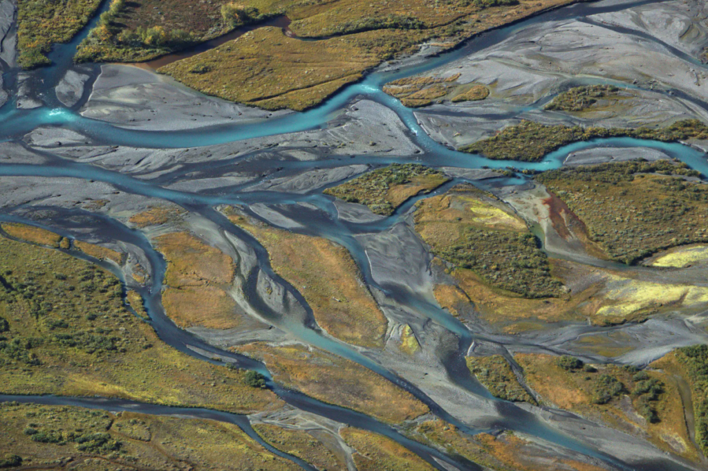
In the previous post of this series, we learned how we can use satellite radar altimetry to retrieve highly accurate estimates of global sea level changes. If only reading “sea level” triggers your climate anxiety – we got you covered! In this post we will introduce you to three more applications of radar altimetry, where …[Read More]
EGU General Assembly 2024 — A Brief Recap of our Activities
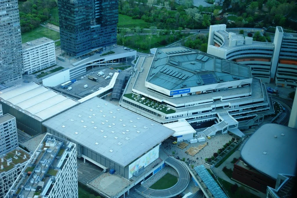
Thank you all for the great EGU General Assembly (GA) this year! In case you missed EGU24 or some of the events we organised, here is a little recap. So you can stop wondering how it went and get an idea of what to look out for next year. In the Geodesy Divison, we had …[Read More]
Meet the ECS team: Your Go-To Contacts for EGU General Assembly 2024
Hey there dear geodesy ECSs, EGU is right around the corner. We wanted to check in and make sure that you are navigating around a bit better. Maybe you are not sure who to ask about the ECS dinner, networking opportunities at GA, or how to get involved with our team or within EGU, or …[Read More]
Geodesy Division Highlights at EGU24: Your Essential Guide
We have been a bit quiet during March, but that was only for a good reason: to prepare lots of engaging activities and short courses for the EGU General Assembly. So, let’s find out what’s waiting for you at the GA24. But a quick reminder that this is just a small preview of the many …[Read More]
Bits and Bites of Geodesy – Satellite radar altimetry: How do we know that sea level is rising?
In a previous post, Thomas Frederikse briefly explained how geodesy is used to observe sea level change. In this part of Bits & Bites, Bene delves deeper into the topic. Rising sea levels are one of the consequences of climate change that already impacts people in low-lying coastal regions, and the future prospects are not …[Read More]
Geotandem: Exploring the subsurface of Mars using geodetic data
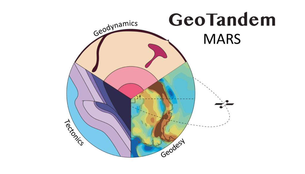
Welcome to the first of its kind, the Geotandem 01! A collaborative series between EGU divisions. Interdisciplinarity is intrinsic to Geosciences, so we want to showcase how researchers approach the same topics from different but also complementing perspectives. In each edition, we will bring you a high-interest topic for the community seen from the eyes …[Read More]
Expanding the picture: What does a geodesist look like?
Think of a geodesist. What names come up in you? What do they look like? Do they have glasses? Is their hair short or long, grey or blonde? What’s their country of origin? Can you imagine them wearing a dress? And how come so many of them run marathons? I’m joking, but hopefully you get …[Read More]
High resolution terrestrial water storage changes from combination of GRACE and models
The Gravity Recovery and Climate Experiment (GRACE) satellite mission (2002-2017) consisted of two satellites at ~500 km altitude separated by 200 km, following each other in the same orbit. The distance between the two GRACE satellites changes because of the gravitational pull of the masses beneath the satellites. As such, mass changes at or near …[Read More]
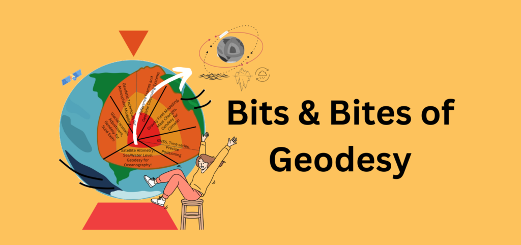
Bits and Bites of Geodesy — Where is the centre of the Earth? Why do we care?
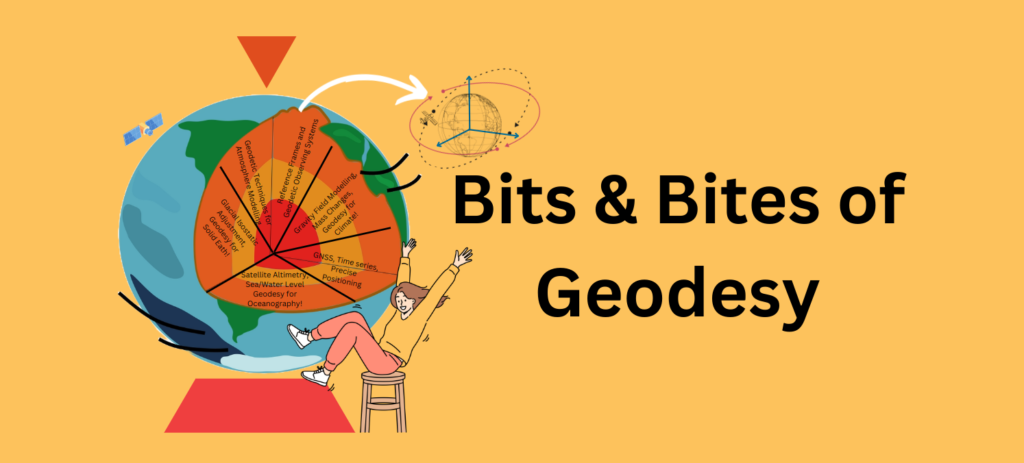
We introduce you to our new blog series Bits & Bites of Geodesy. In this blog post series, we aim to communicate small chunks of geodetic fun facts that are easy to digest. In short, posts meant for everyone, facts about geodetic measurement techniques, challenges, and concepts are presented. These bite-sized articles will unravel the …[Read More]