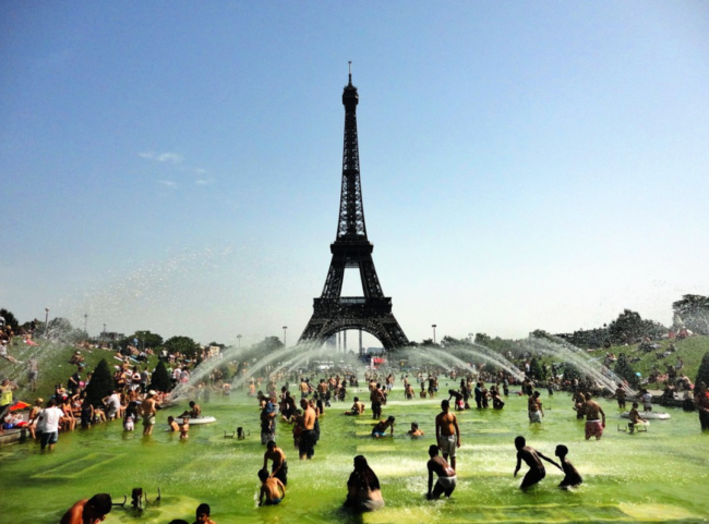
Too hot, Too soon: the thermometer has reached unprecedented temperature for a month of June in France, with the 40°C mark crossed by Friday June 17 in part of France. The IPCC AR6 report now clearly states that the probability of heatwave events such as this one has increased by a factor 3 to 5 in the present climate with respect to a counterfactual world not affected by anthropogenic greenhouse gasses emissions.
“It is really during extreme events of this type that we really perceive global warming. But we should not be surprised: what the IPCC reports predicted 20 years ago is only now coming true” said Jean-Jouzel in an interview for the French television TF1. But how can we explain the exceptional nature of this early summer Heatwave?
Due to the anthropogenic emissions, the seasonality of heat waves has already changed in the present climate: they are observed earlier and later in the year, i.e., from June to September, or even October while before they were occurring mostly in July-August.
Each additional degree of global warming does not have linear consequences on the climate: heat waves multiply rapidly, because of the cascade effects of heat. Above 35°C, for example, vegetation struggles to carry out photosynthesis (the process by which plants release oxygen into the air, editor’s note), forests no longer cool us down but can quickly catch fire. And fires increase the temperature in the air and release greenhouse gases, in a feedback loop…
Atmospheric circulation also plays a role. Unlike the 2003 heat wave, caused by a high pressure system over France, the current heat wave is explained by the combination of a small cyclone off Portugal, a phenomenon called goutte froide, and a high pressure system in the South of France, which brings up very hot air from Africa. This causes a “heat wave”, intense but rather short in time. A similar event occurred in 2019, where in cities in the South of France the thermometer reached record-breaking temperatures above 40°C (41.8 °C Villevieille, 41.6 °C Soumont, 41.5 °C Saint-Jean-de-Minervois, 41.4 °C Prades-le-Lez, 41.1 °C à Lézignan-Corbières (https://twitter.com/meteofrance/status/1537842403574534154)).
This structure is also at the origin of the triggering of violent storms, phenomena “intertwined” with heat waves, which are also multiplied by global warming, like any extreme weather event.