When we look at the history of science, we mostly see male presence in inventions and discoveries. However, this is not actually a true representation of scientific history. A lot of fundamental aspects/parts of science were discovered by female scientists such as Caroline Herschel, Ada Lovelace, Alice Ball, Marie Curie, Chien-Shiung Wu, Grace Hopper and many others. These names are some of the mo ...[Read More]
geodesy
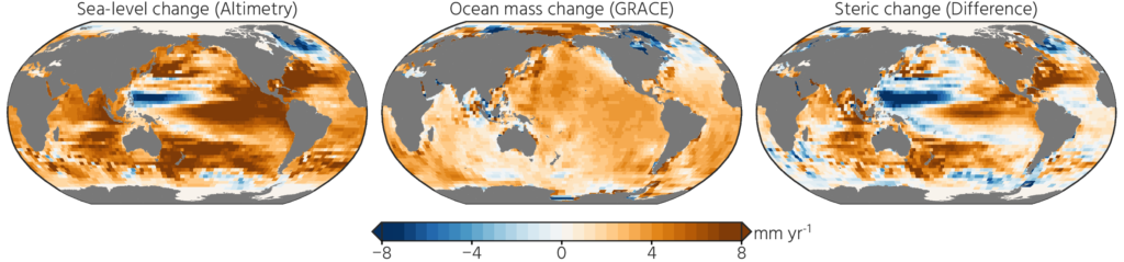
Want to really understand sea-level rise? Bring in the geodesists!
A remarkably large number of papers and proposals have sentences like “this study is critical to better project future sea-level rise” in their introduction. Most times this is just marketing to trick reviewers and program managers into believing the work is important. On the other hand, geodetic papers and proposals have some compelling reasons to use this statement: a lot of geodetic tech ...[Read More]
The comprehensive Geodetic Information Portal of GGOS
The Global Geodetic Observing System (GGOS) of the International Association of Geodesy (IAG) is a collaborative contribution of the global geodesy community to the observation and monitoring of the Earth System. Geodesy is the science of determining the shape of the Earth, its gravity field, and its rotation as functions of time. Essential to reaching this goal are stable and consistent geodetic ...[Read More]
What’s up for geodesy during the upcoming EGU22?
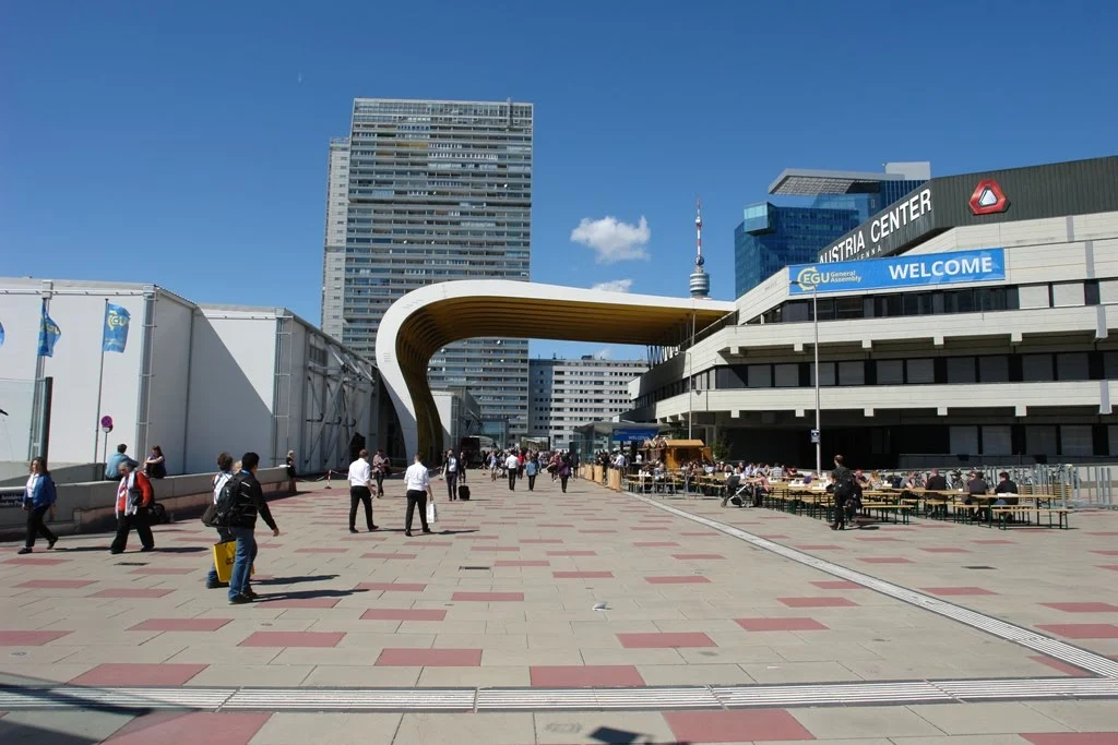
It’s this time of the year again where we all try to meet up in Vienna and talk about our latest scientific results and more importantly network with old and new colleagues. The EGU General Assembly (GA) will be a hybrid meeting this year: EGU22. There will be scientific sessions with short oral presentations, networking opportunities and short courses. All scientific sessions and most short cours ...[Read More]
Geodesists on Tour: GNSS measurements in East Africa
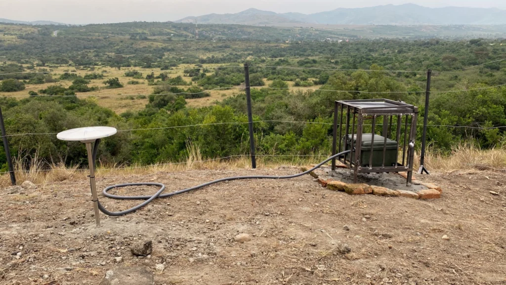
Africa hosts the world’s most extensive subaerial rift system on Earth known as the East African Rift System (EARS). It stretches over 5000 km from the Red Sea and Gulf of Aden intersection in the north to the Southwest Indian Spreading Ridge south of South Africa. East-West, the EARS spans the eastern border of the Democratic Republic of Congo across to eastern Madagascar over 3000 km. The ...[Read More]
Geodesists on Tour: On the left side of the road for getting the g
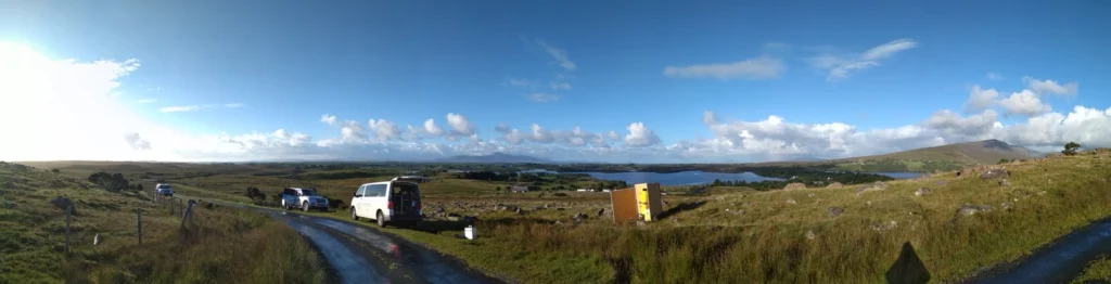
Getting the small g (the absolute gravity value) outdoors has always been some sort of a challenge. But, in the early 2000s the possibility to measure gravity has changed by the arrival of the first A10 absolute gravimeters. They to a large extent revolutionized the approach of performing gravity measurements in the open field and with that improved the approach to design and measure national grav ...[Read More]
Around the world with Professor Vening Meinesz onboard the submarine K-XVIII: Exploration of the Solid Earth
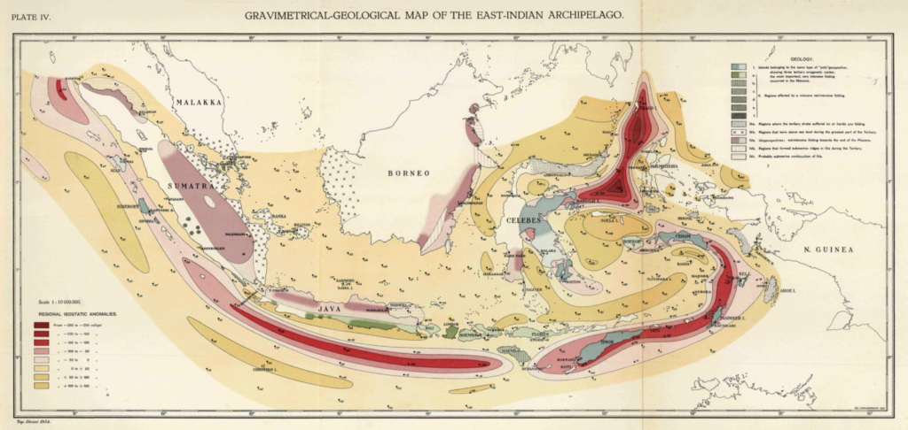
On 14th of November 1934, the Dutch travelled to the harbor of Den Helder situated in the north of the Netherlands to catch a glimpse of the departure of Hr. Ms. K-XVII: A submarine of the Royal Dutch Navy setting sail on a trip around the world. Onboard was a unique traveler and with his non-typical height of 2 meters tall, he towered above the average submarine sailor. Professor Vening Me ...[Read More]
Geodesists on Tour: GPS measurements on Antarctica
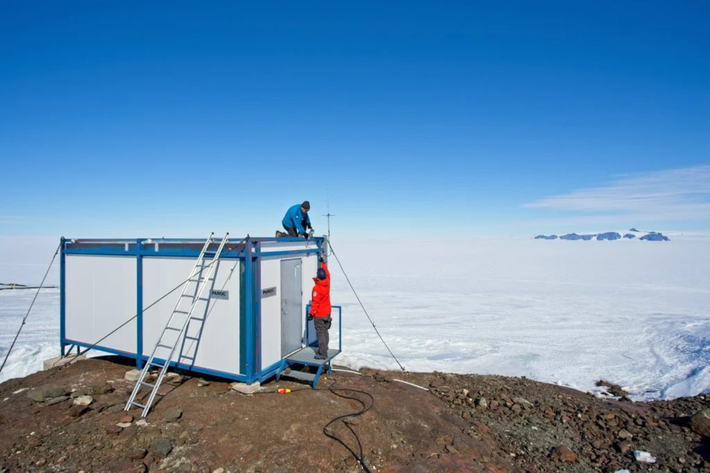
Stories from the field – how exactly are those GPS data collected? The geodesy community at large benefits from the many science projects with open data policies. A user simply has to navigate to a data portal, download the data, and within a matter of moments a world of possibilities opens up for potential research. But where exactly do these data come from? While scientific results get ...[Read More]
A look beneath Earth’s surface: monitoring groundwater from space
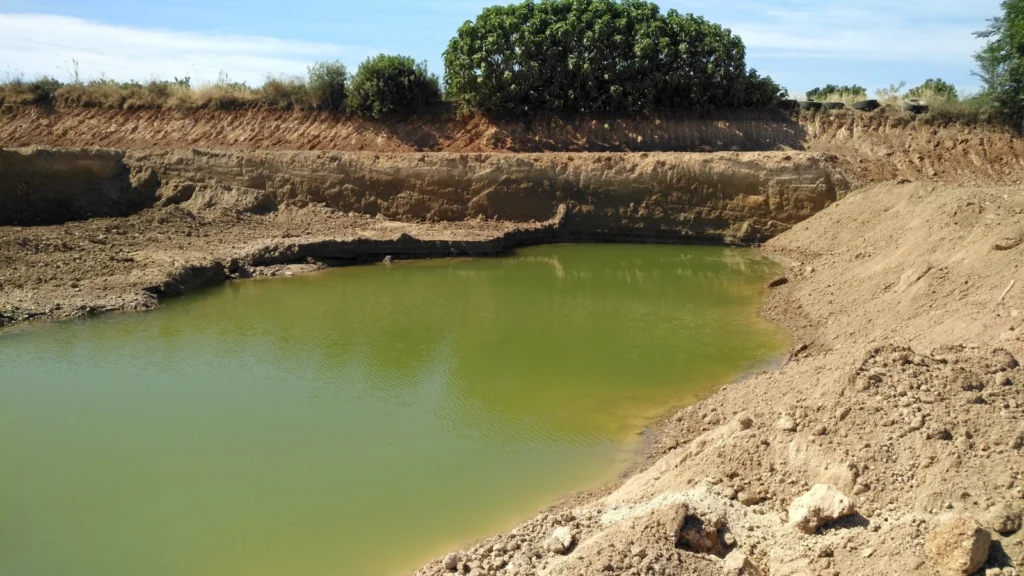
Groundwater is one of the most important resources of freshwater for ecosystems and mankind. Because of this fundamental role in the Earth’s water and energy cycles, groundwater has been declared as an essential climate variable by GCOS, the Global Climate Observing System. As with other subsurface processes, it is difficult to observe and monitor on a global scale. This is especially true if you ...[Read More]
Geodesists on Tour: Gravity measurements on Antarctica
Antarctica is well known for its large ice sheet, covering 98% of the continent. A large part of the ice sheet is losing mass leading to vertical and horizontal movements of the crust as well as changes of the gravitational attraction. To observe these changes in gravity with the highest accuracy, it is necessary to visit Antarctica and measure gravity on a regular basis. Since the late 198 ...[Read More]