Africa hosts the world’s most extensive subaerial rift system on Earth known as the East African Rift System (EARS). It stretches over 5000 km from the Red Sea and Gulf of Aden intersection in the north to the Southwest Indian Spreading Ridge south of South Africa. East-West, the EARS spans the eastern border of the Democratic Republic of Congo across to eastern Madagascar over 3000 km. The ...[Read More]
Geodesists on Tour: GNSS measurements in East Africa
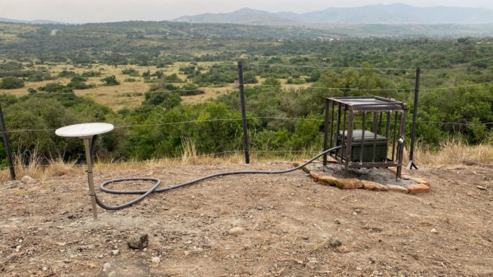
Installation of site UGN6 at the Queen’s Pavilion (Uganda). Photo Credit: D. Sarah Stamps.