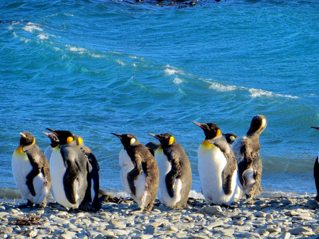
Remote, rugged, raw and beautiful beyond measure, the island of South Georgia rises from the wild waters of the South Atlantic, 1300 km south east of the Falkland Islands. The Allardyce Range rises imposingly, south of Cumberland Bay, dominating the central part of the island. At its highest, it towers 2935 m (Mount Paget) above the surrounding landscape. In the region of 150 glaciers carve their ...[Read More]
September GeoRoundUp: the best of the Earth sciences from around the web
Drawing inspiration from popular stories on our social media channels, as well as unique and quirky research news, this monthly column aims to bring you the best of the Earth and planetary sciences from around the web. Major story and what you might have missed This month has been an onslaught of Earth and space science news; the majority focusing on natural hazards. Hurricanes, earthquakes and v ...[Read More]
Record-setting forest fires in 2017 – what is to blame?
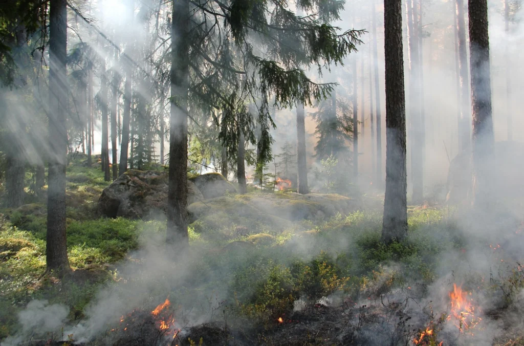
Forest fires have once again seized the public consciousness in both Europe and North America. Extreme drought and temperatures contributed to a tinderbox in many forests, and have led to deadly fires across Europe and record-breaking, highly disruptive fires in the USA and Canada, from where I’m currently writing. A simple way to understand fire is by thinking about the fire triangle – the three ...[Read More]
GeoPolicy: IPCC decides on fresh approach for next major report
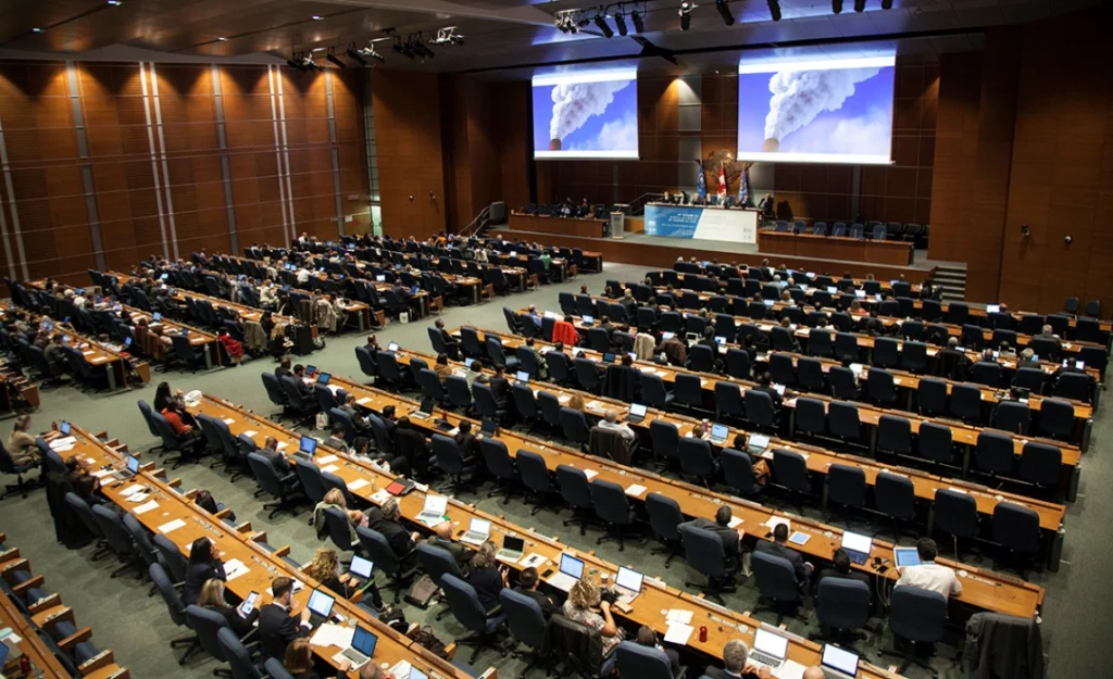
This month’s GeoPolicy post is a guest post from Sarah Connors, a Science Officer in the Intergovernmental Panel on Climate Change (IPCC) Working Group 1 Technical Support Unit (and former EGU Science Policy Officer). The IPCC is starting its sixth cycle, in which hundreds of scientists take stock of the world’s climate change knowledge by assessing the current scientific literature and then summa ...[Read More]
Imaggeo on Mondays: Isolated atoll
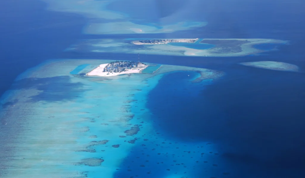
Covering a total area of 298 km², the idylic natural atolls and reefs of the Maldives stretch across the Indian Ocean. The tropical nation is famous for it’s crystal clear waters and picture perfect white sand beaches, but how did the 26 ring-shaped atolls and over 1000 coral islands form? Coral reefs commonly form immediately around an island, creating a fringe which projects seawards from the sh ...[Read More]
GeoSciences Column: Catch of the day – what seabirds can tell us about the marine environment
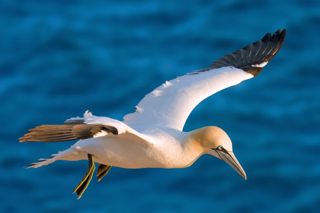
Off the coast of Germany, a male northern gannet (for ease, we’ll call him Pete) soars above the cold waters of the North Sea. He’s on the hunt for a shoal of fish. Some 40km due south east, Pete’s mate and chick await, patiently, for him to return to the nest with a belly full of food. Glints of silver just below the waves; the fish have arrived. Pete readies himself. Body rigid, wings tucked in ...[Read More]
GeoTalk: The anomaly in the Earth’s magnetic field which has geophysicists abuzz
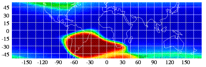
Geotalk is a regular feature highlighting early career researchers and their work. In this interview we speak to Jay Shah, a PhD student at Imperial College London, who is investigating the South Atlantic Anomaly, a patch over the South Atlantic where the Earth’s magnetic field is weaker than elsewhere on the globe. He presented some of his recent findings at the 2017 General Assembly. First, coul ...[Read More]
Mexico earthquakes: What we know so far
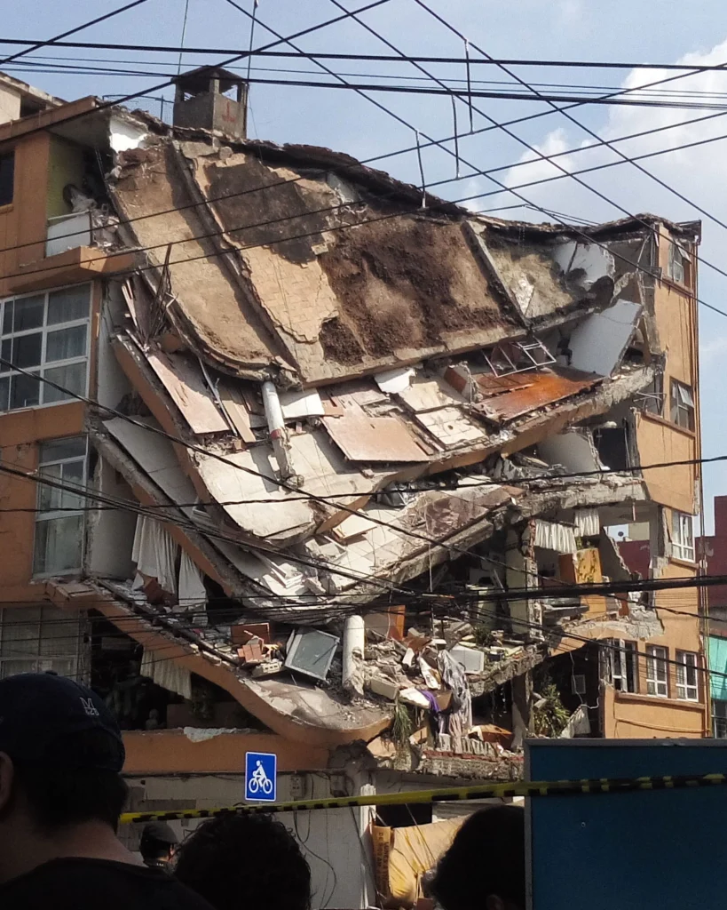
On Friday 8 September 2017 at 04:49 am UTC, a magnitude 8.1 earthquake hit off the coast of Mexico, 87 km SW of Pijijiapan. According to the U.S. Geological Survey, the epicentre was at 15.07 N, 93.72 W at a depth of about 69.7 km. Yesterday, another strong (magnitude 7.1) earthquake hit central Mexico, 55 km SSW of the city of Puebla and 120 km south of Mexico City. Despite the lower magnitude, y ...[Read More]
Imaggeo on Mondays: What happens to mines when they become redundant?
When the minerals run out, or it is no longer profitable to extract the resources, mines shut down. Prior to issuing a permit for the exploitation of a resource, most regulators require assurance that once the mine closes it, or the activities carried out at the site, will not present a risk to human health or the environment. Ongoing monitoring of a mine once it is decommissioned is required to e ...[Read More]
Mapping Ancient Oceans
This guest post is by Dr Grace Shephard, a postdoctoral researcher in tectonics and geodynamics at the Centre of Earth Evolution and Dynamics (CEED) at the University of Oslo, Norway. This blog entry describes the latest findings of a study that maps deep remnants of past oceans. Her open access study, in collaboration with colleagues at CEED and the University of Oxford, was published this week i ...[Read More]