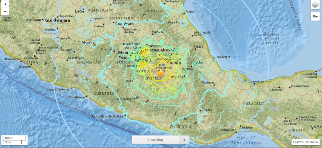
On Friday 8 September 2017 at 04:49 am UTC, a magnitude 8.1 earthquake hit off the coast of Mexico, 87 km SW of Pijijiapan. According to the U.S. Geological Survey, the epicentre was at 15.07 N, 93.72 W at a depth of about 69.7 km. Yesterday, another strong (magnitude 7.1) earthquake hit central Mexico, 55 …[Read More]
EGU Scientific Divisions
Imaggeo on Mondays: What happens to mines when they become redundant?
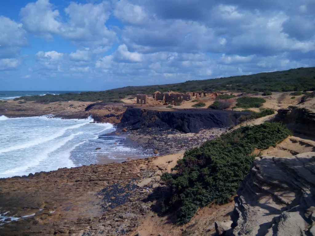
When the minerals run out, or it is no longer profitable to extract the resources, mines shut down. Prior to issuing a permit for the exploitation of a resource, most regulators require assurance that once the mine closes it, or the activities carried out at the site, will not present a risk to human health …[Read More]
Mapping Ancient Oceans
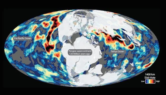
This guest post is by Dr Grace Shephard, a postdoctoral researcher in tectonics and geodynamics at the Centre of Earth Evolution and Dynamics (CEED) at the University of Oslo, Norway. This blog entry describes the latest findings of a study that maps deep remnants of past oceans. Her open access study, in collaboration with colleagues …[Read More]
Educators: apply now to take part in the 2018 GIFT workshop!
The General Assembly is not only for researchers but for teachers and educators with an interest in the geosciences also. Every year the Geosciences Information For Teachers (GIFT) is organised by the EGU Committee on Education to bring first class science closer to primary and high school teachers. The topic of the 2018 edition of …[Read More]
Imaggeo on Mondays: A prehistoric forest
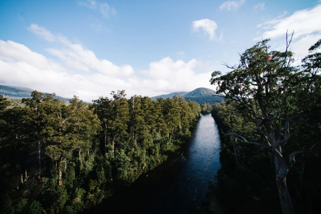
This stunning vista encompasses the south-western wilderness of Tasmania as seen from the Tahune air walk 60 m above the Huon river valley. In front lies the beginning of a huge UNESCO World Heritage Site, covering almost a fourth of the area of Tasmania. The site mostly consists of a pristine, temperate rainforest of Gondwanan …[Read More]
Is it an earthquake, a nuclear test or a hurricane? How seismometers help us understand the world we live in
Although traditionally used to study earthquakes, like today’s M 8.1 in Mexico, seismometers have now become so sophisticated they are able to detect the slightest ground movements; whether they come from deep within the bowels of the planet or are triggered by events at the surface. But how, exactly, do earthquake scientists decipher the signals …[Read More]
Imaggeo on Mondays: Viñales Valley
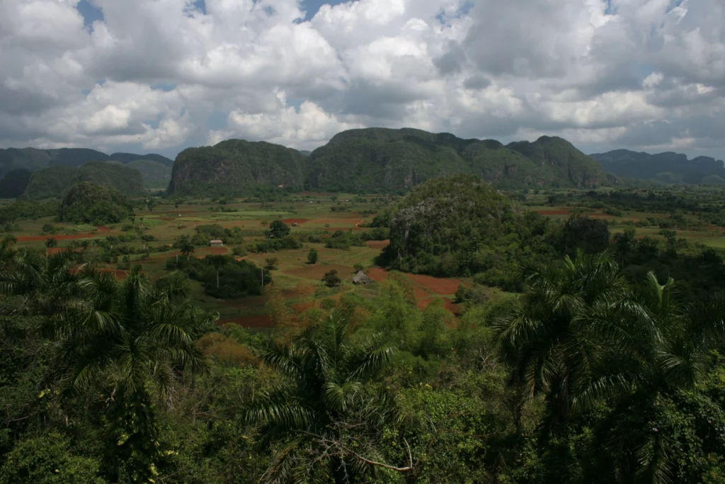
From last week’s unusual desert landscape to this week’s lush valley in Cuba… The picture shows the Vinales Valley, a karstic depression with mogotes in western Cuba. Karst is the general term for landscapes formed when limestone is disolved by carbonic acid, in rain water. This leads, in particular, to the formation of an underground …[Read More]
August GeoRoundUp: the best of the Earth sciences from around the web
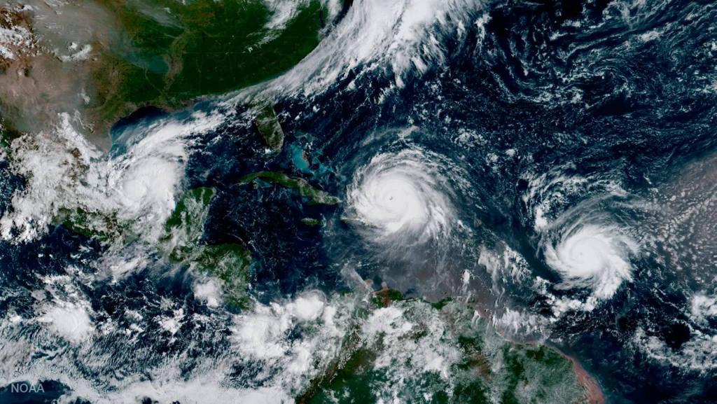
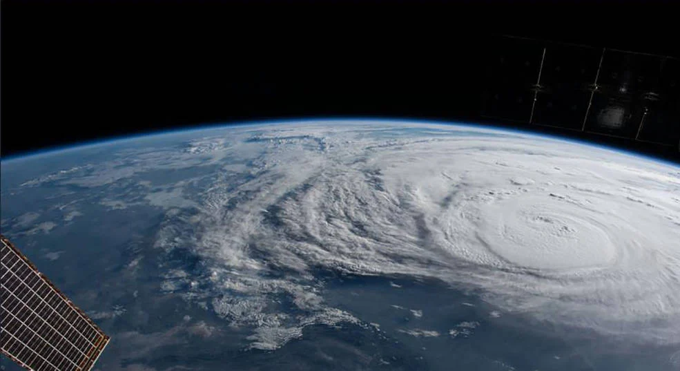
Drawing inspiration from popular stories on our social media channels, as well as unique and quirky research news, this monthly column aims to bring you the best of the Earth and planetary sciences from around the web. Major Stories On August 25th Hurricane Harvey made landfall along the southern coast of the U.S.A, bringing record …[Read More]
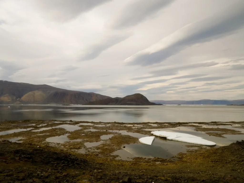
Imaggeo on Mondays: Low tide at Alexandra Fjord
Today’s post takes us to the far northern reaches of our planet, to a desert like nothing you’ve seen before. This picture is a view to the north across Alexandra Fjord, on the east coast of Ellesmere Island, in the Canadian High Arctic, with Sphynx island in the middle of the fjord. The south shore …[Read More]
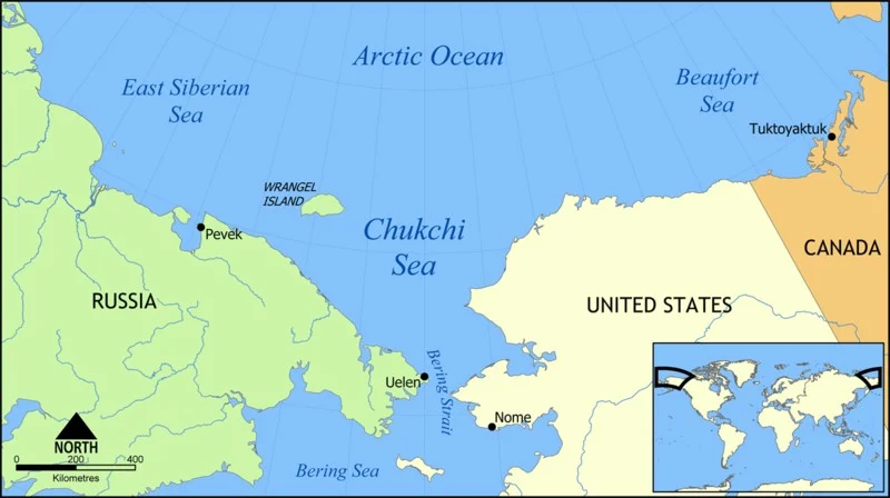
GeoSciences Column: When could humans last walk, on land, between Asia & America?
Though now submerged under 53 m of ocean waters, there once was a land bridge which connected North America with Asia, allowing the passage of species, including early humans, between the two continents. A new study, published in the EGU’s open access journal Climate of the Past, explores when the land bridge was last inundated, …[Read More]