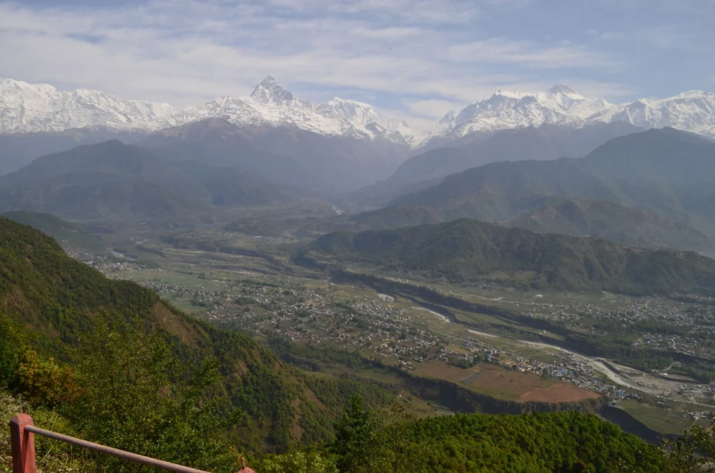
Nine months ago the ground in Nepal shook, and it shook hard: on April 25th 2015 the M7.8 Gorkha earthquake struck and was followed by some 250 aftershocks, five of which were greater than M 6.0. The devastation left behind in the aftermath of such an event, and how to coordinate disaster-relief efforts in a …[Read More]
natural hazards
Geoscience hot topics – The finale: Understanding planet Earth
What are the most interesting, cutting-edge and compelling research topics within the scientific areas represented in the EGU divisions? Ground-breaking and innovative research features yearly at our annual General Assembly, but what are the overarching ideas and big research questions that still remain unanswered? We spoke to some of our division presidents and canvased their …[Read More]
Imaggeo on Mondays: Flying Rocks
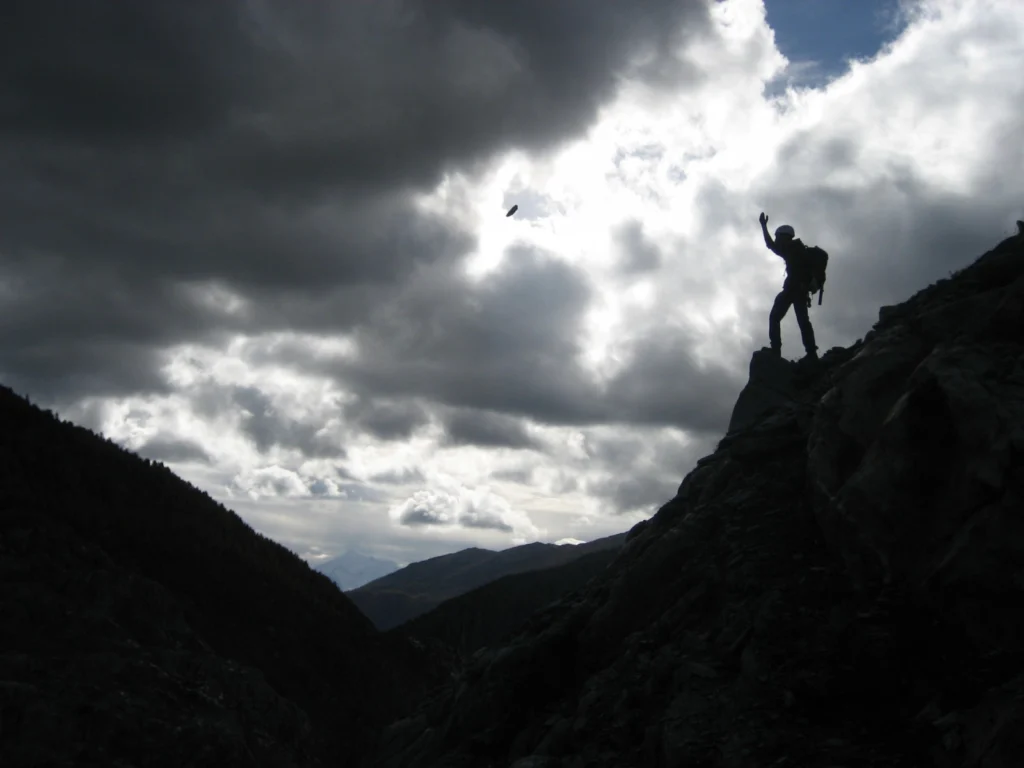
The picture was taken at a hillslope close to the glacier tongue of the Great Aletsch Glacier, the largest glacier in the Alps. With a length of 23 km it is located in the eastern Bernese Alps of Switzerland and composed of the three smaller glaciers Aletschfirn, Jungfraufirn and Eternal snow field converging at Concordia …[Read More]
Imaggeo on Mondays: Drilling a landslide
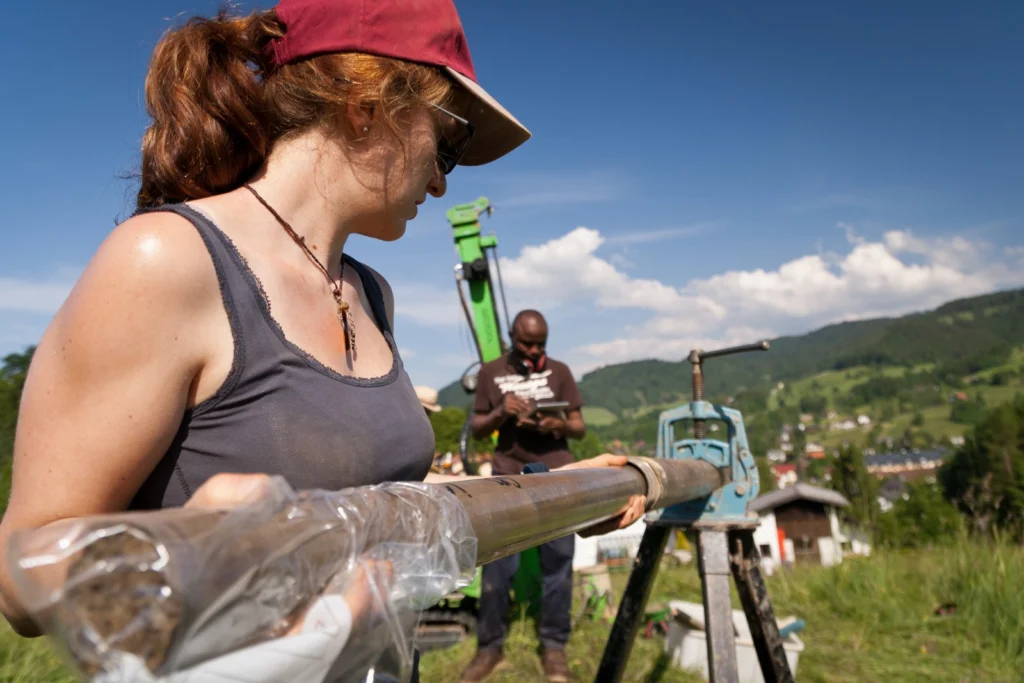
That landslides are hazardous goes without saying; the risk posed by them will largely depend on where they occur and their exact characteristics, which makes understanding the mechanisms which trigger them, as well as predicting when they might happen, extremely difficult. Today’s Imaggeo on Mondays image, brought to you by Ekrem Canli, a PhD student …[Read More]
Studying an active volcano – in pictures
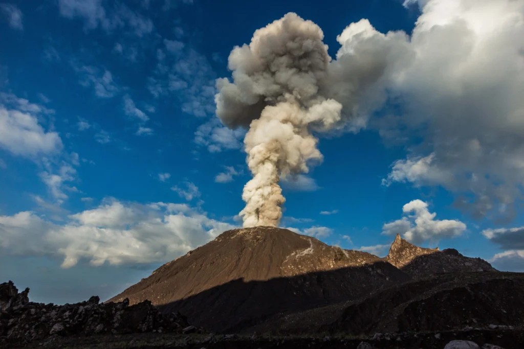
Santiaguito volcano in Guatemala is one of the most active volcanoes in Central America: currently erupting every 45-90 mintues, from its active lava dome Caliente, while at the same time sending a lava flow down its flanks. This makes it an ideal study object for volcanology. A group of volcanologists from the University of Liverpool, …[Read More]
The day the Earth trembled: A first-hand account of the 25 April Nepal earthquake
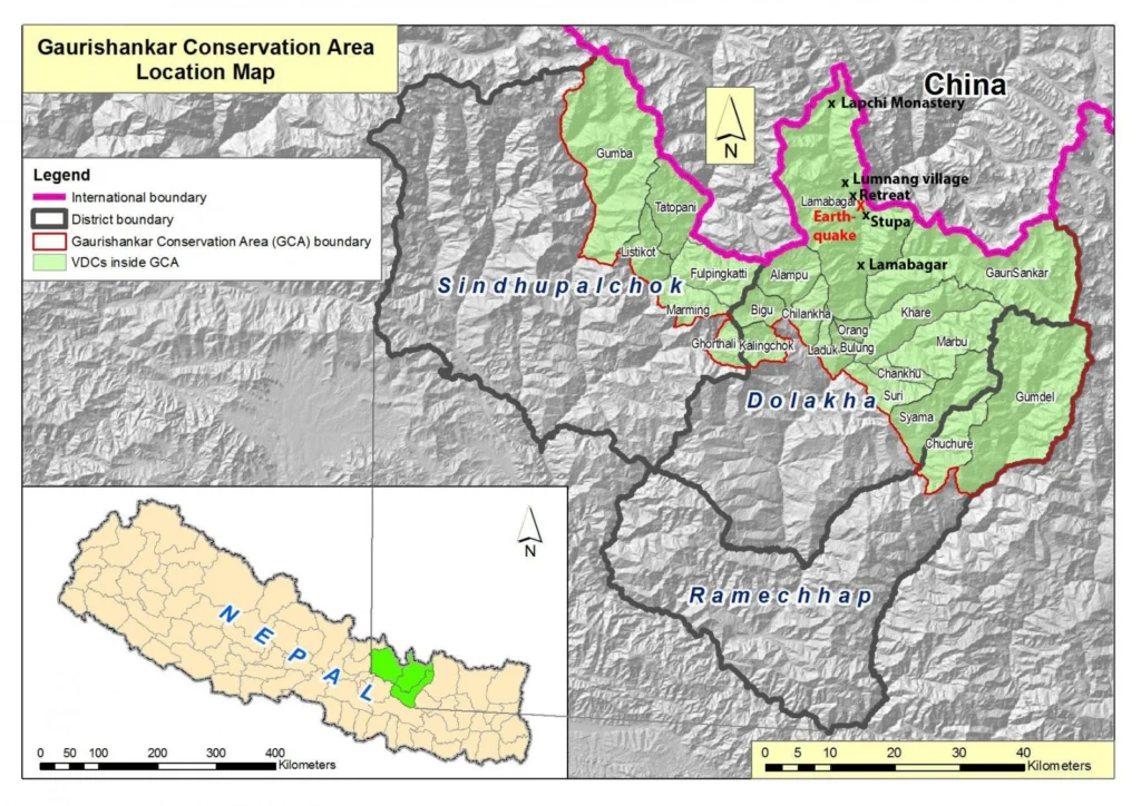
On the 25th April 2015, Viktor Bruckman, a researcher at the Austrian Academy of Sciences, and a team of his colleagues were a few hours into a hike between the settlements of Lamabagar, in a remote area of northeastern Nepal, and the Lapchi Monastery when a magnitude 7.8 earthquake struck Nepal. Their journey cut short …[Read More]
Geosciences Column: Do roads mean landslides are more likely?
Landslides have been in the news frequently over the past 12 months or so. It’s not surprising considering their devastating consequences and potential impact on nearby communities. Data collected by Dave Petley in his Landslide Blog shows that from January to July 2014 alone, there were 222 landslides that caused loss of life, resulting in …[Read More]
Natural hazards workshop videos are online!
Every year, the EGU host a two day workshop for primary and secondary school teachers during the General Assembly. Geosciences Information For Teachers (GIFT) workshops aim to shorten the time between discovery and textbook, while providing teachers with material that can be used in the classroom. This year, the workshop was on natural hazards, with …[Read More]
GeoCinema Online: Hazards
In this week’s GeoCinema Online, we’re taking you to regions of the world that have experienced large eruptions in both the recent and distant past. These films take you through what it’s like to live in an active volcanic area or fault zone, from dealing with disasters, to how scientists are working towards better methods …[Read More]