GeoLog

natural hazards

Imaggeo on Mondays: “Vancouver! Vancouver! This is it!”

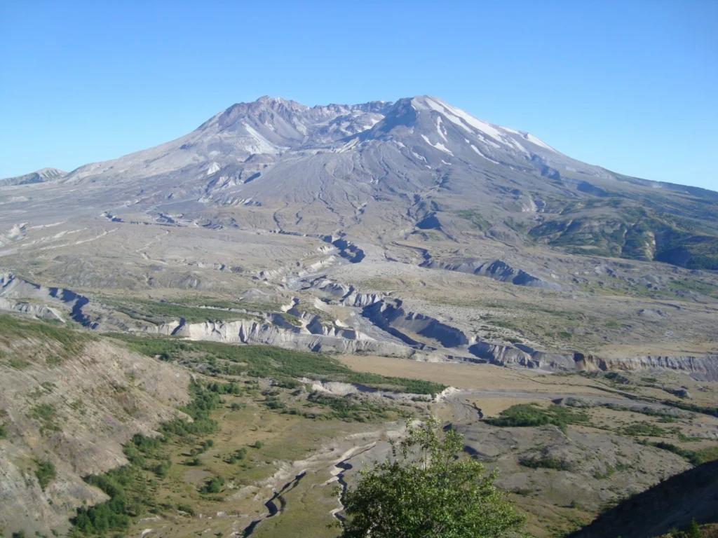
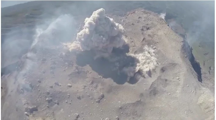
Mount St Helen's, Washington, seen from Johnston Ridge.

On May 18th 1980 Mount St Helens (an active stratovolcano of the Cascades located in the North West US), erupted explosively following a magnitude 5.1 earthquake. The quake triggered a devastating landslide which swept away the volcano’s northern flank – in what is the largest debris avalanche recorded on Earth to date. Removal of a …[Read More]

GeoTalk: Raffaele Albano, Early Career Scientist Representative

GeoTalk: Raffaele Albano, Early Career Scientist Representative

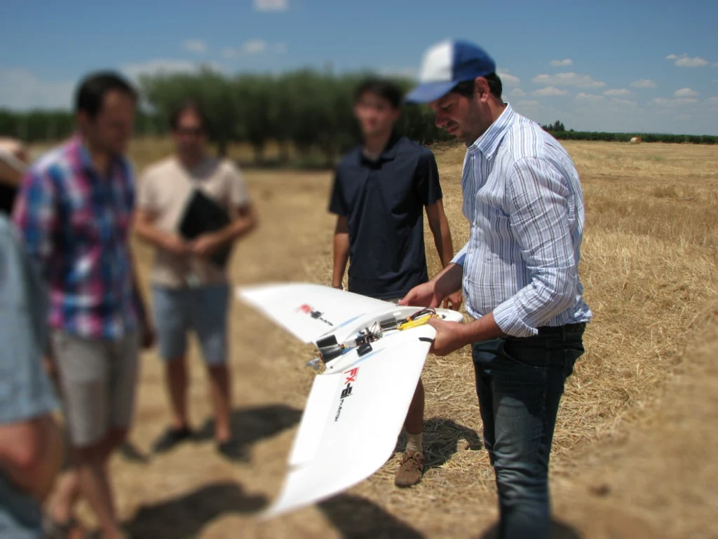
In addition to the usual GeoTalk interviews, were we highlight the work and achievements of early career researchers, over the next few months we’ll be introducing the Division early career scientist representatives (ECS). They are responsible for ensuring that the voice of EGU ECS membership is heard. From organising short courses during the General Assembly, …[Read More]

Imaggeo on Mondays: Moving images – Photo Contest 2016

Imaggeo on Mondays: Moving images – Photo Contest 2016

Since 2010, the European Geosciences Union (EGU) has been holding an annual photo competition and exhibit in association with its General Assembly and with Imaggeo – the EGU’s open access image repository. In addition to the still photographs, imaggeo also accepts moving images – short videos – which are also a part of the annual …[Read More]

GeoTalk: A smart way to map earthquake impact

GeoTalk: A smart way to map earthquake impact

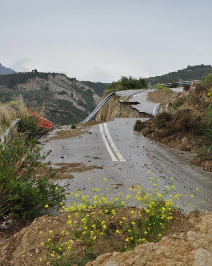
Last week at the 2016 General Assembly Sara, one of the EGU’s press assistants, had the opportunity to speak to Koen Van Noten about his research into how crowdsourcing can be used to find out more about where earthquakes have the biggest impact at the surface. Firstly, can you tell me a little about yourself? …[Read More]

When mountains collapse…

When mountains collapse…

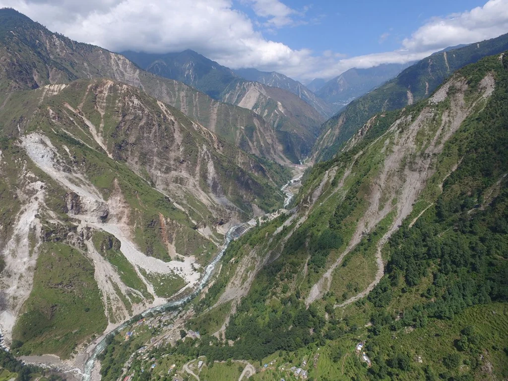
Jane Qiu, a grantee of the Pulitzer Center on Crisis Reporting, took to quake-stricken Nepal last month — venturing into landslide-riddled terrains and shadowing scientists studying what makes slopes more susceptible to failure after an earthquake. The journey proved to be more perilous than she had expected. What would it be like to lose all …[Read More]

Counting the cost of natural disasters

Counting the cost of natural disasters

Often, in the news, we are used to seeing disaster statistics reported as isolated figures, placed into context by the tragic human cost of floods, earthquakes and drought. The recent Ecuadorian earthquake that occurred on Saturday the 16th April, for example, was described as having an estimated economic cost of $820 million, which could rise …[Read More]

GeoSciences Column: Mapping floods with social media

GeoSciences Column: Mapping floods with social media

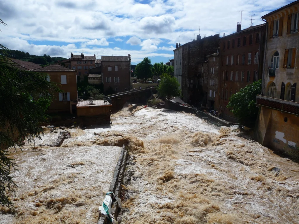
Picture this: you are on your commute home, smartphone or tablet in hand, surfing the internet. You might quickly catch up on the latest news, check in with your friend’s on Facebook, or take to Twitter to share a morsel of information with your followers. This scenario is common in the modern era of technology. …[Read More]