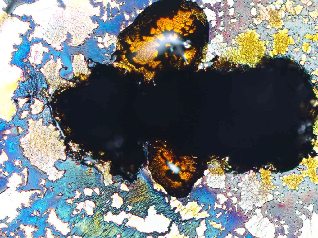
Deciphering the past history of rocks and what they might reveal about the Earth’s future is a key part of geology, and tools such as Ion Probes can be used by Earth Scientists to extract valuable information about a rock’s past. Today’s Imaggeo on Monday’s image was acquired by Sarah Glynn, a researcher at the …[Read More]
Regular Features
Geosciences Column: The Oldest Eurypterid
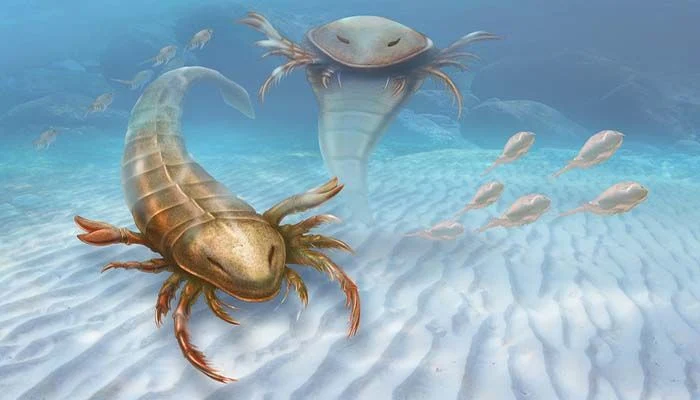
The name of a newly found fossil of sea scorpion draws inspiration from ancient Greece warships and is a unique example of exceptional preservation, shedding light on the rich life of this bygone sea critter, explains David Marshall of Palaeocast fame. To learn more about the importance of giving new fossils names and what Pentecopterus …[Read More]
Imaggeo on Mondays: Mola de Lord
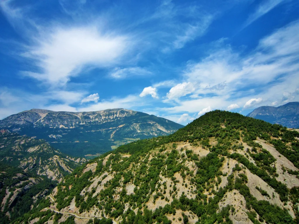
From the easterly Atlantic waters of the Bay of Biscay to the Catalan wild coast (Costa Brava) in the west, the Spanish Pyrenees stretch 430 km across the north of the country. At the foothills of the Catalan Pyrenees you’ll find the Pre-Pyrenees. Despite not reaching the soaring heights of the peaks of the Pyrenees, …[Read More]
GeoEd: A Framework Too Far?
In this month’s edition of GeoEd, Sam Illingworth, former ECS PC representative and Lecturer of Science Communication at Manchester Metropolitan University, talks about a new framework introduced by the UK government to measure the quality of teaching at higher education institutions. Although Sam explores the issue from a UK perspective, there is no doubt cross …[Read More]
Imaggeo on Mondays: Dragon Blood Tree
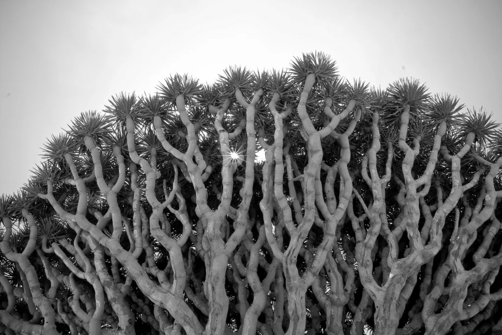
On a small and isolated island in the Indian Ocean you’ll find an endemic population of Dragon Blood Trees (Dracaena cinnabari). Burly, with an interesting umbrella-shaped fractal canopy, these unique trees are a sight to behold. To see them for yourself, you’ll have to travel to the little known Socotra archipelago. Off the coast of …[Read More]
Imaggeo on Mondays: Velociraptor in the Zagros Mountains
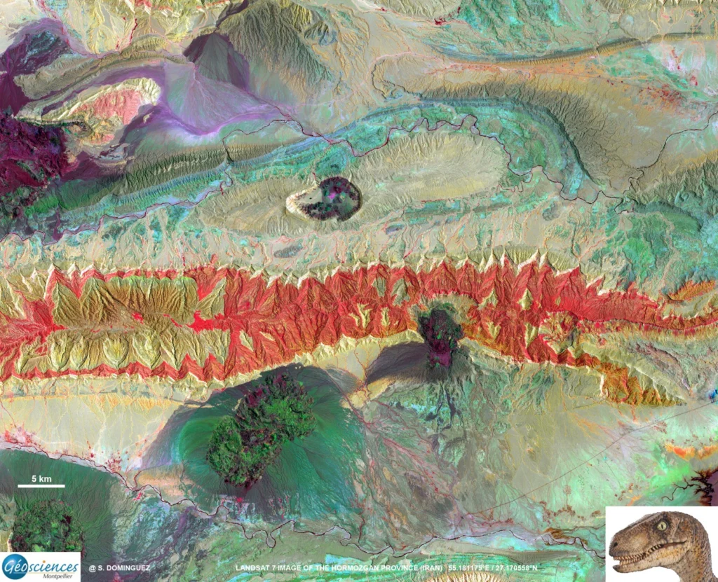
How many times have you turned your head up to the sky and spotted familiar shapes in the clouds? Viewing structures from afar can reveal interesting, common and, sometimes, funny patterns. Satellite images are often used to map geological terrains. They offer a bird’s eye view of the planet and the opportunity to see broad …[Read More]
Imaggeo on Mondays: Mesopotamia, the ancient land between rivers
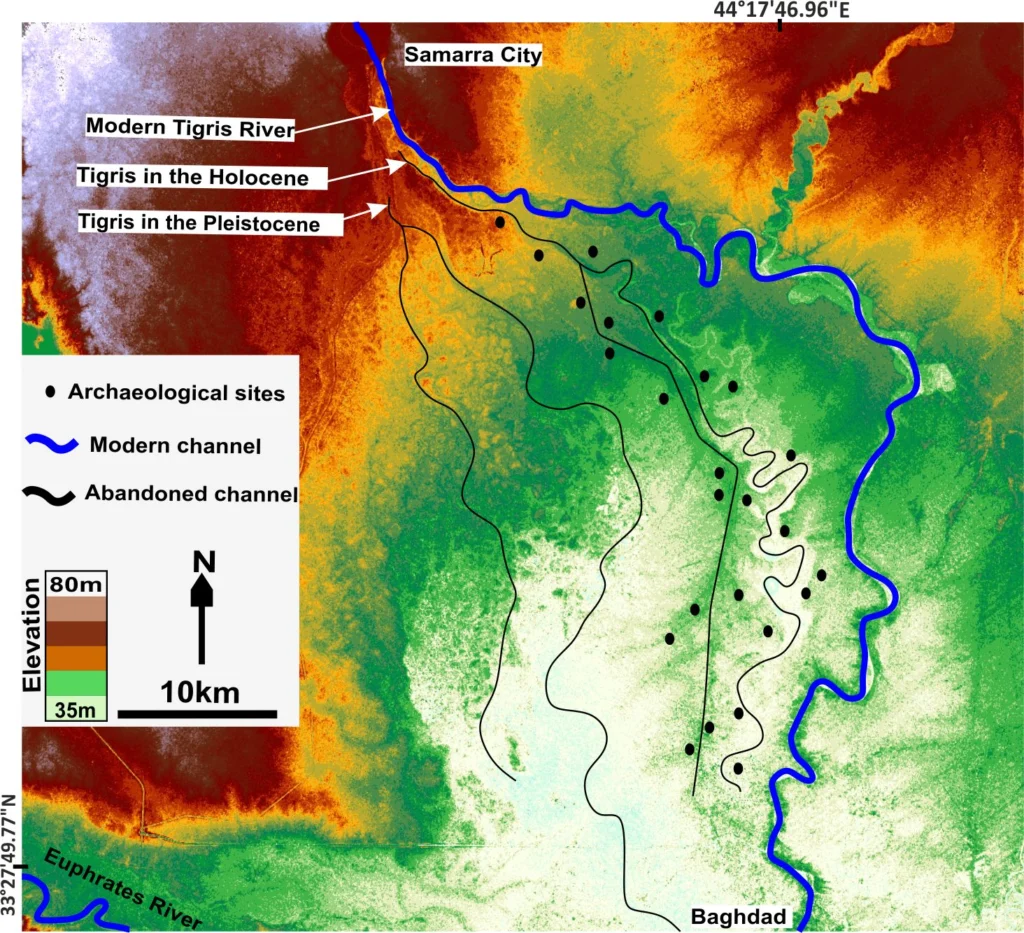
Mesopotamia, an area rich in history and considered as the cradle of civilisation, with the first populations establishing themselves in the region some 6000 years ago,lies between two great rivers: the Euphrates and the Tigris. The ancient territory spans areas of modern-day Iraq, Kuwait, the northeastern section of Syria and small sections of southeastern Turkey …[Read More]
Geosciences Column: The calamity of eruptions, or an eruption of benefits?
So here is a question: why would anyone want to live in the vicinity of an active volcano? The risks are well known, with hazards arising from lava flows, lahars, ash falls, debris avalanches, and pyroclastic density currents, with many often having deadly consequences. But despite the danger, more than half a billion people live …[Read More]
Imaggeo on Mondays: The warming
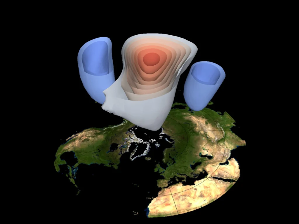
Events of meteorological significance, such as thunderstorms, hurricanes, cyclones, jet streams and global-scale circulations can be described by a general term: atmospheric dynamics. When it comes to it, atmospheric dynamics deals with nothing more than air, which, in truth, is very difficult to directly observe, (with the exception of clouds and precipitation). This makes the …[Read More]
GeoEd: EGU General Assembly and GIFT 2015
The most recent issue (Winter/Spring 2015) of the Teachers Clearinghouse for Science and Society Education Newsletter includes a piece, by Earth Science Correspondent, Michael J. Passow, on the 2015 General Assembly and the GIFT (Geosciences Information For Teachers) Workshop. Passow gives an account of this year’s workshop, on the topic of mineral resources, and outlines …[Read More]