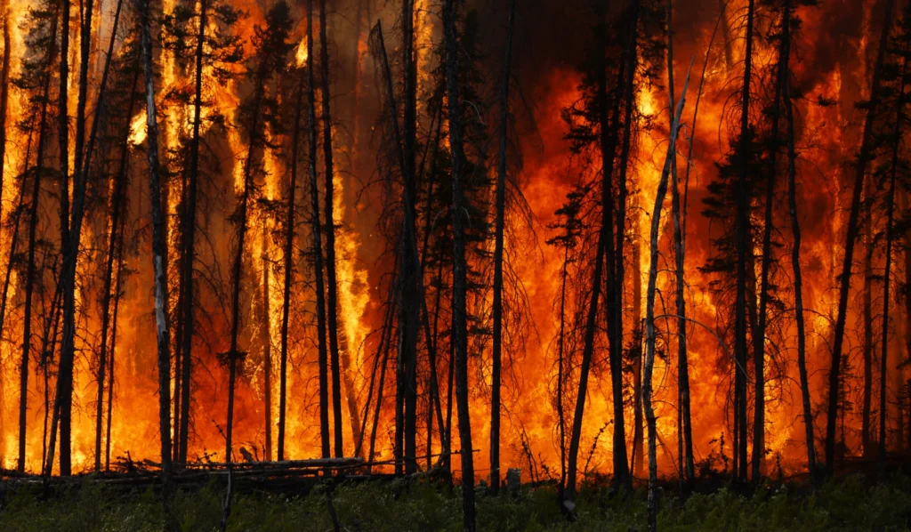
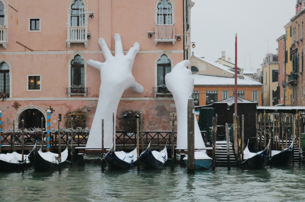
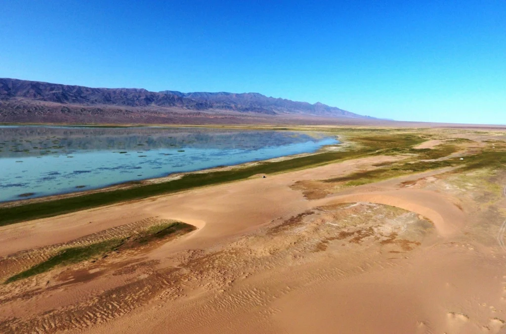
The Intergovernmental Panel on Climate Change (IPCC) prepares and publishes extensive Assessment Reports on the scientific, technical and socio-economic knowledge on climate change, including its impacts, future risks, and likely scenarios based on the actions that humanity takes. In their sixth Assessment Report (AR6), the IPCC’s certainty and warnings were clearer than ever. This month’s …[Read More]
Regular Features
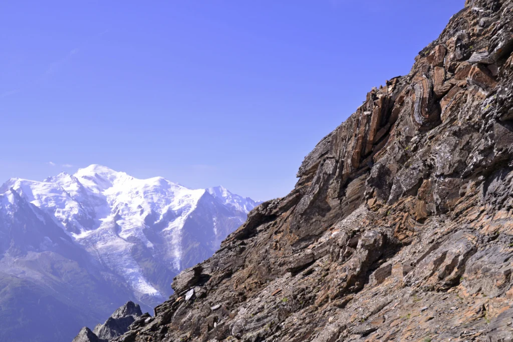
Imaggeo On Monday: Alps highest peak meets folded sea floor
During the late Jurassic, this dolostone was formerly at the sea floor, but after millions years of tectonic movements and natural forces, these rocks now appear at 3000m! Mont Blanc, the highest peak of the Alps is less than 20km away, and is visible in the background. Thank to the Alpine collision, this former sea …[Read More]
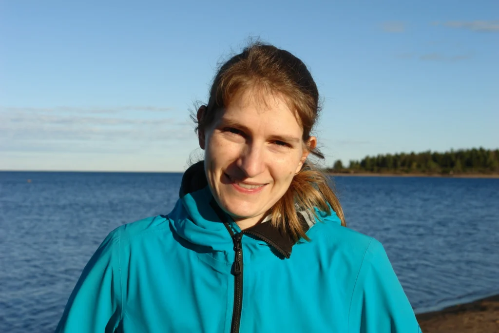
GeoTalk: Meet Rebekka Steffen, the Geodesy Division’s Early Career Scientist Representative
Hello Rebekka, thank you for taking the time to talk with us today! Could you introduce yourself to our readers? Hi. Thanks for giving me the chance to talk about my research and plans as ECS Rep for the Geodesy Division. I’m a researcher in Geodesy at Lantmäteriet, which is the Swedish mapping, cadastral, and …[Read More]
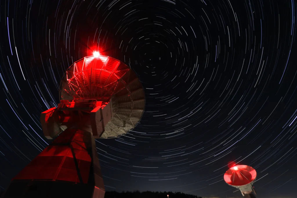
Imaggeo On Monday: Onsala Twin Telescopes
“The Onsala Twin Telescopes are part of the global geodetic Very Long Baseline Interferometry (VLBI) network. Radio telescopes all around the globe are observing extra-galactic radio sources simultaneously to determine Earth orientation parameters, source positions and station coordinates, as well as velocities. Geodetic Very Long Baseline Interferometry is used to maintain the International Terrestrial Reference …[Read More]
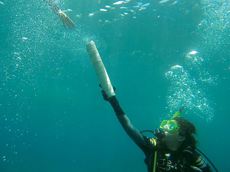
Get the picture? How choosing the right photograph can add value to your science communication
If you are a scientist you probably know the value of a good, well designed image. The right graph or diagram can help the reader to really grasp the meaning of a complicated theory or process, help to illuminate a critical piece of data, or highlight a key finding. But whilst much advice exists about …[Read More]
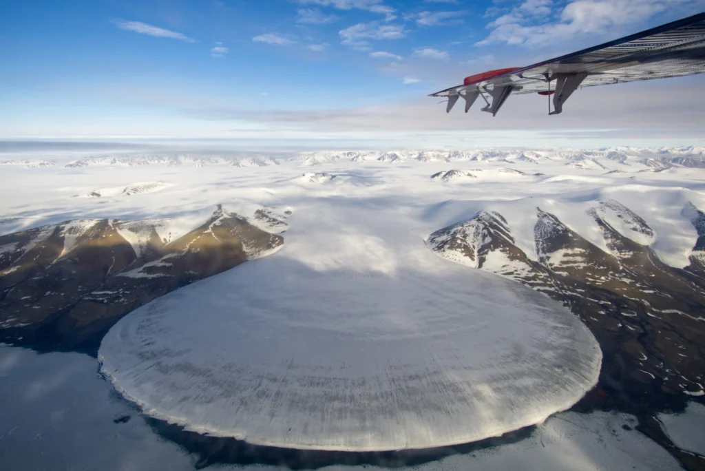
Imaggeo On Monday: Elephant Foot Glacier in Greenland from a Twin Otter perspective
“I was told that there will be a piedmont glacier on the way from Station Nord, a Danish military base in northeast Greenland, to our destination in no-man’s-land next to the 79°N Glacier. On half the way, we passed the beautiful Elephant Foot Glacier, named after its symmetric shape originating from the viscous flow of …[Read More]
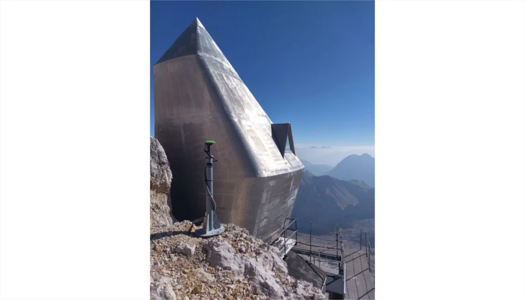
Imaggeo On Monday: Geodesy on Zugspitze
The Zugspitze Geodynamic Observatory Germany (ZUGOG) has been setup on the summit of mountain Zugspitze at an altitude of almost 3000 m during 2018 with the main scientific objective being a better understanding of seasonal and long-term mass redistributions in the European Alps. This knowledge is very important (e.g. with regard to water storage and …[Read More]
GeoRoundup: the highlights of EGU Journals published during July!
Each month we feature specific Divisions of EGU and during the monthly GeoRoundup we will be putting the journals that publish science from those Divisions at the top of the Highlights roundup. For July, the Divisions we are featuring are: Natural Hazards (NH) and Geomorphology (GM). They are served by the journals: Geoscientific Model Development (GMD), …[Read More]
GeoPolicy: A Climate and Ecological Emergency: Can a pandemic help save us…?
The EGU’s #vEGU21 streamed a wide variety of virtual sessions from Short Courses to Union Symposia. While most #vEGU21 sessions had a specific scientific focus, a few highlighted topics that were of interest to geoscientists across multiple disciplines. The Union Symposia 3: “A Climate and Ecological Emergency: Can a pandemic help save us…?” was one …[Read More]
Imaggeo On Monday: An ever evolving landscape – Orog Nuur, Mongolia
At the transition from the Gobi Altay ranges to the Valley of the Lakes in South West Mongolia, the Ikh Bogd mountain towers almost 3000 m above the aridifying endorheic Orog Nuur Basin. The actively deforming mountain front shows traces of multiple earthquakes, which in turn affect the alluvial sediments deposited in the basin. Simultaneously, …[Read More]