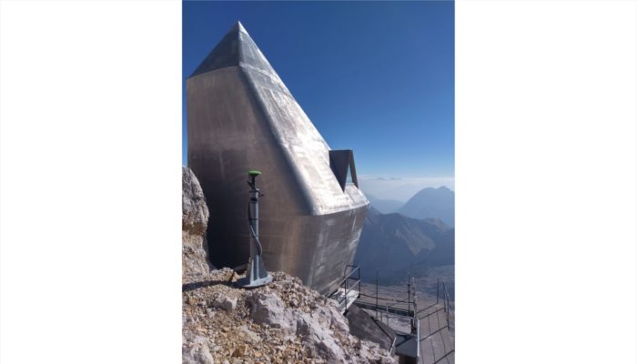
The Zugspitze Geodynamic Observatory Germany (ZUGOG) has been setup on the summit of mountain Zugspitze at an altitude of almost 3000 m during 2018 with the main scientific objective being a better understanding of seasonal and long-term mass redistributions in the European Alps. This knowledge is very important (e.g. with regard to water storage and its high sensitivity to climate change), but is not very advanced due to sparse data. ZUGOG is connected to the Environmental Research Station Schneefernerhaus as the home base of a large research consortium operating a dense sensor network for almost 20 years as well as providing technical support and infrastructure.
Description by Christian Voigt, after the description on imaggeo.egu.eu.
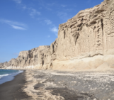
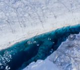
Imaggeo is the EGU’s online open access geosciences image repository. All geoscientists (and others) can submit their photographs and videos to this repository and, since it is open access, these images can be used for free by scientists for their presentations or publications, by educators and the general public, and some images can even be used freely for commercial purposes. Photographers also retain full rights of use, as Imaggeo images are licensed and distributed by the EGU under a Creative Commons licence. Submit your photos at http://imaggeo.egu.eu/upload/.