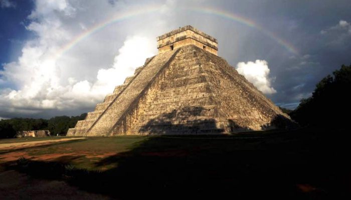
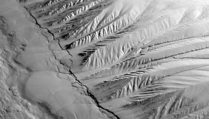
Unravelling the secrets of past civilisations is tricky at the best of times. More so if many of the records which hold clues about how communities lived, built their homes and temples, as well as how they fed themselves, were destroyed by subsequent invaders. In these instances, as Felix Rodriguez Cardozo explains in today’s post, geophysical techniques (such as Lidar, which very recently hit the ...[Read More]
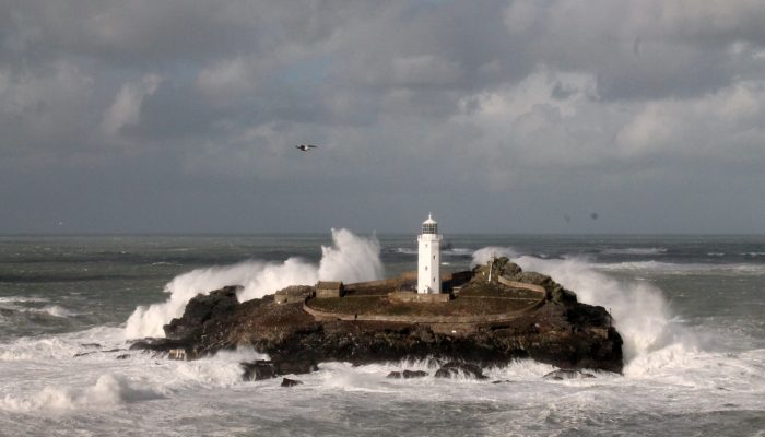
Imaggeo on Mondays: The British Winter Storms
This week’s imaggeo on Monday’s photography is Godrevy Lighthouse in North Cornwall (UK) experiencing the full force of the 2013/14 British Winter Storms which caused damage across the south west of the country. During mid-December 2013 to mid-February 2014 the UK was hit by six major storms bringing record precipitation, strong winds, huge waves and generating overall hazardous conditions. Despit ...[Read More]
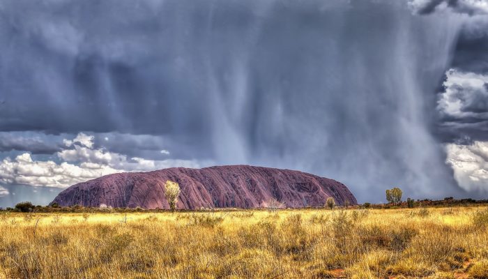
Imaggeo on Mondays: Storm on the Rock
This is a photograph of Uluru, in the Northern Territory of Australia, on a hot and humid summer afternoon. As lightning flashed about, torrential rains swept across the landscape and silver rivulets of water began to rush down the sides of the mountain. Uluru is made of red-coloured Proterozoic arkosic sandstones, a coarse grained lithology rich in quartz and feldspars. However, on rare days such ...[Read More]
Imaggeo on Mondays: Moving images – Photo Contest 2016
Since 2010, the European Geosciences Union (EGU) has been holding an annual photo competition and exhibit in association with its General Assembly and with Imaggeo – the EGU’s open access image repository. In addition to the still photographs, imaggeo also accepts moving images – short videos – which are also a part of the annual photo contest. However, 20 or more images have to be submitted ...[Read More]
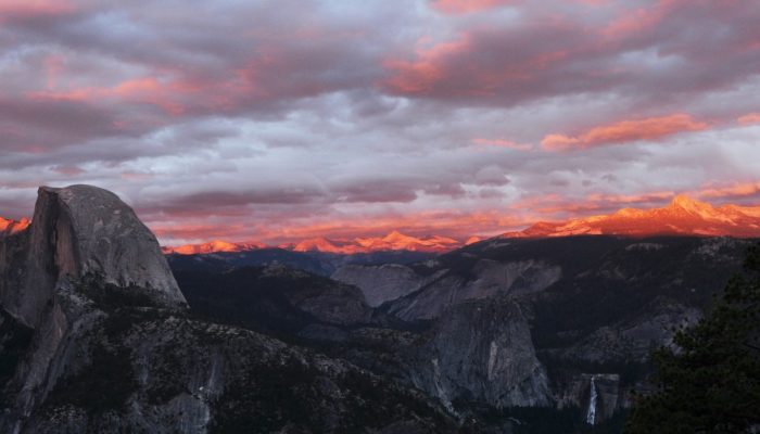
Imaggeo on Mondays: Half dome at sunset
Yosemite’s Half Dome stands, majestic, over a granite dominated terrain in the Yosemite Valley area; one of the most beautiful landscapes in northern America, and arguably, the world – it is also an Earth scientist’ playground. Stamped into the west slope of the Sierra Nevada range, the Yosemite Valley is a collection of lush forests, deep valleys, meandering rivers and streams, all punctua ...[Read More]
Imaggeo on Mondays: Earth Wave
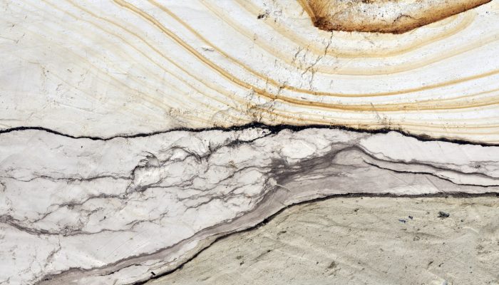
Take a stroll along the norther beaches of the French Channel Coast, some kilometers east from the entrance of the Channel Tunnel, and you’ll encounter an imposing cliff of soft, sandy composition which dominates the landscape. On close inspection, the sediments which make up the Quaternary aged deposits of the Sangatte Cliff, are beautiful, revealing intricate patterns which hold the key to the g ...[Read More]
Imaggeo on Mondays: The waxing Earth
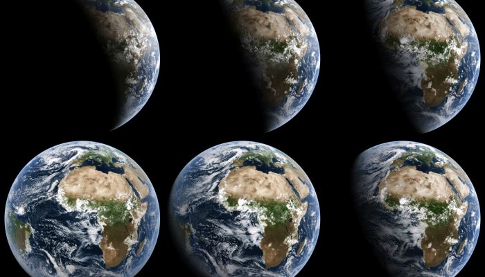
These incredible images of Earth were acquired from the European MSG-2 satellite on July 21, 2009. The MSG, which stands for Meteosat Second Generation, satellites are operated as a series of satellites which continually orbit our planet, capturing detailed images of Europe, Africa and parts of the Atlantic and Indian Ocean every 15 minutes. The data acquired is largely used by meteorologists. The ...[Read More]
Imaggeo on Mondays: a big thank you from the EGU
Outside EGU General Assembly 2016. Credit: Kai Boggild/EGU (distributed via imaggeo.egu.eu) The past week in Vienna was a busy one! Hordes of Earth, ocean and planetary scientists came together to present, share and discuss their most recent scientific findings at the 2016 General Assembly. The conference was a great success, with over 4800 oral and 10300 poster presentations, as well as close to ...[Read More]
Photo Contest finalists 2016 – who will you vote for?
The selection committee received over 400 photos for this year’s EGU Photo Contest, covering fields across the geosciences. The fantastic finalist photos are below and they are being exhibited in Hall X2 (basement, Brown Level) of the Austria Center Vienna – see for yourself! Do you have a favourite? Vote for it! There is a voting terminal (also in Hall X2), just next to the exhibit. The results w ...[Read More]
Imaggeo on Mondays: recreating geological processes in the lab
Many of the processes which take place on Earth happen over very long time scales, certainly when compared to the life span of a person. The same is true for geographical scale. Many of the processes which dominate how our planet behaves are difficult to visualise given the vast distances (and depths) over which they occur. To overcome this difficulty, scientists have developed and resorted to a n ...[Read More]