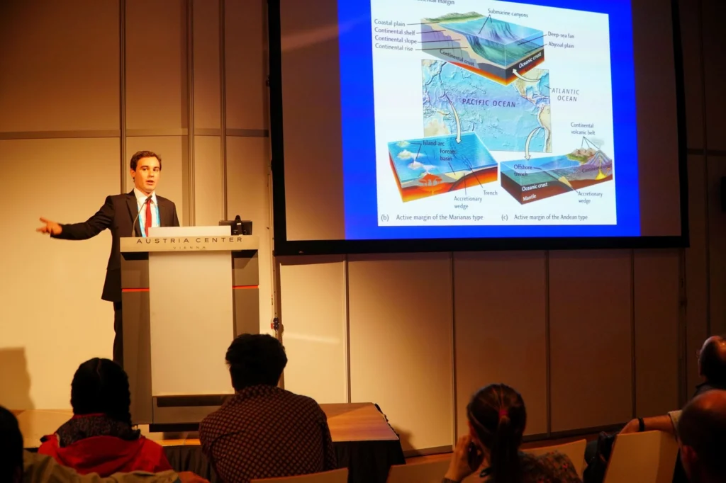
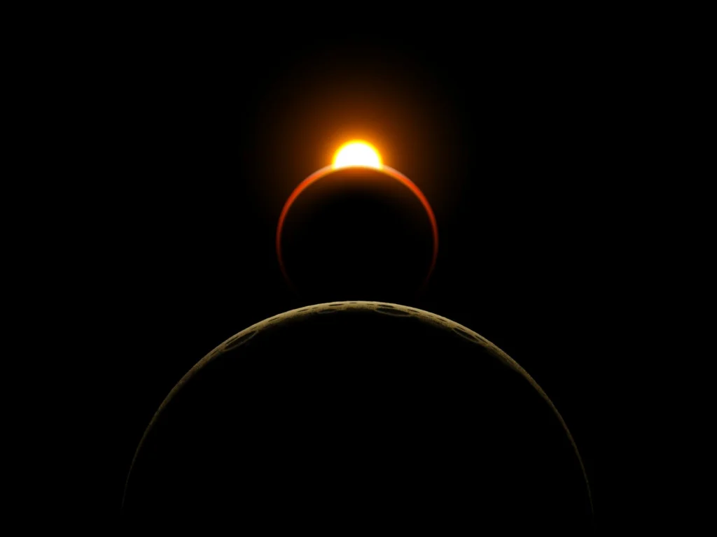
Geotalk is a regular feature highlighting early career researchers and their work. Following the EGU General Assembly, we spoke to João Duarte, the winner of a 2017 Arne Richter Award for Outstanding Early Career Scientists. João is a pioneer in his field. He has innovatively combined tectonic, marine geology and analogue modelling techniques to further our understanding of subduction initiation ...[Read More]
Light years from home – a geologist’s tale
In a departure from the usual posts we feature on the blog, today Conor Purcell (a freelance science writer) brings you a thought provoking science fiction piece. Grab a drink and dive into this geology inspired adventure! “It’s typical geology for a rocky planet” K reported. “Captured beneath the ocean at its northern pole, the core is a mix of metamorphic and sedimentary rock, with sand an ...[Read More]
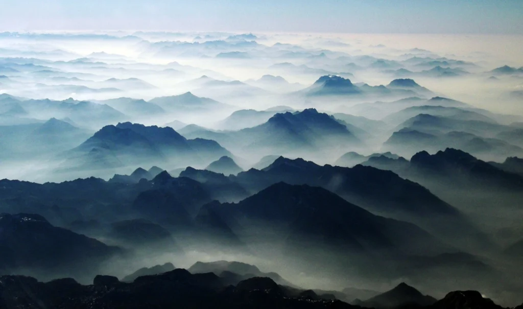
Imaggeo on Mondays: Airplane views of the Alps
The forward scattering of sunlight, which is caused by a large number of aerosol particles (moist haze) in Alpine valleys, gives the mountain massifs a rather plastic appearance. The hazy area in the foreground lies above the Koenigsee lake; behind it the Watzmann, Hochkalter, Loferer Steinberge and Wilder Kaiser massifs loom up behind one other to the right of the centre line. Behind them is the ...[Read More]
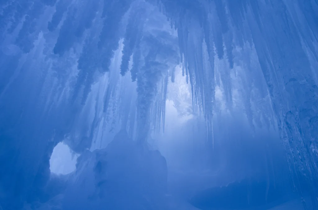
Imaggeo on Mondays: Erebus Ice Tongue Cave
The interior of this ice cave at the Erebus glacier tongue is cathedral-like. Imagine standing in the cold interior, icy blue stalactites dangling from the cave roof; the sense of awe is overwhelming. Mt. Erbus is the world’s southernmost active volcano on Ross Island, in Antarctica. Winding its way down its lower slopes is Erebus glacier. Projecting out from the coast, a jagged and thin tongue ma ...[Read More]
GeoSciences Column: Can seismic signals help understand landslides and rockfalls?
From the top of a small gully in the French Alps, a 472 kg block is launched into the chasm. Every detail of it’s trajectory down the slope is scrutinised by two cameras and a network of seismometers. They zealously record every bounce, scrape and tumble – precious data in the quest to better understand landslides. What makes landslides tick? In 2016, fatalities caused by landslides tipped 2 ...[Read More]
May GeoRoundUp: the best of the Earth sciences from around the web
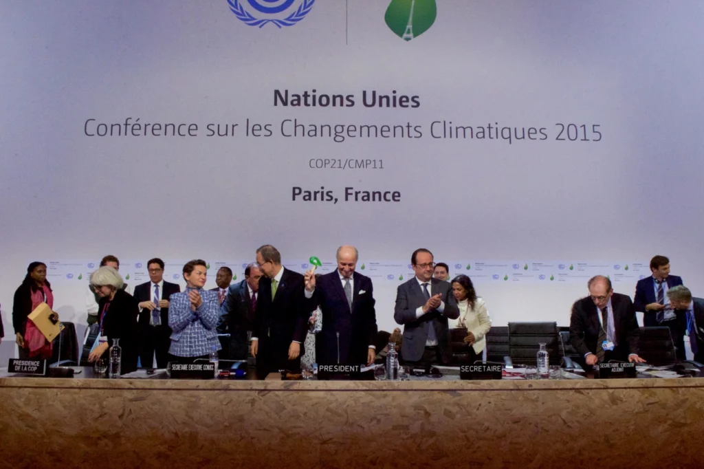
Drawing inspiration from popular stories on our social media channels, as well as unique and quirky research news, this monthly column aims to bring you the best of the Earth and planetary sciences from around the web. Major Story In the last couple of weeks of May, the news world was abuzz with the possibility of Donald Trump withdrawing from the Paris Agreement. Though the announcement actually ...[Read More]
Imaggeo on Mondays: Natural Bridges Monument, Utah, USA
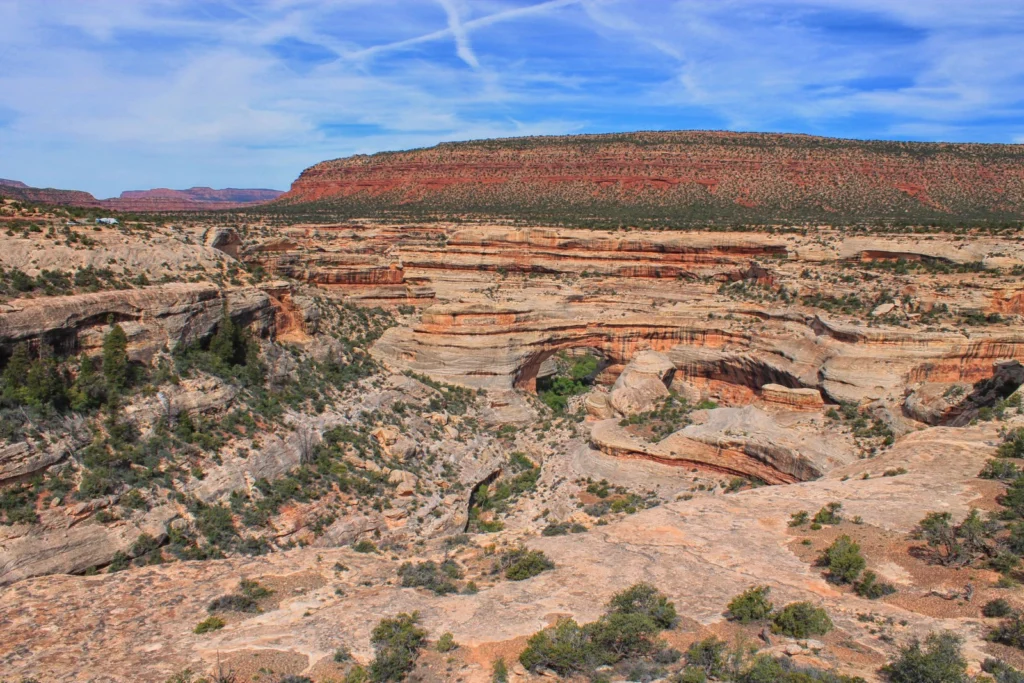
Slowly but surely, the force of water has carved out a beautiful landscape in the sandstones of the Colorado Plateau. Suspended over canyons, naturally formed bridges and arches are the starts of Utah’s first national monument. The geological and modern history of the region is rich as Kimberly Galvez, a student of the University of Miami, describes below. This image shows an overview of a ...[Read More]
Artificial floods: Restoring the ecological integrity of rivers
“You can never step into the same river, for new waters are always flowing on to you.” —Heraclitus of Ephesus Rushing rivers, with their unremitting twists and turns and continuous renewal, are often used as a metaphor for life, but the analogy is just as appropriate for scientific research, I reflected as I walked along the banks of a sparkling, turquoise-blue river in the heart of th ...[Read More]
Imaggeo on Mondays: A lava layer cake
Brekkuselslækur, a small river, carves its way across Iceland’s ancient volcanic landscape. At Hengifoss, Iceland’s third-highest waterfall, it tumbles fiercely down thick, dark layers of lavas erupted from volcanoes some 18 to 2.58 million years ago, during a period of geological time known as the Tertiary. Eruptions are rarely continuous; during hiatuses in the extrusion of lavas, ash is able to ...[Read More]
Imaggeo on Mondays: Sedimentary record of catastrophic floods in the Atacama desert
Despite being one of the driest regions on Earth, the Atacama desert is no stranger to catastrophic flood events. Today’s post highlights how the sands, clays and muds left behind once the flood waters recede can hold the key to understanding this natural hazard. During the severe rains that occurred between May 12 and 13, 2017 in the Atacama Region (Northern Chile) the usually dry Copiapó R ...[Read More]