GeoLog

Natural Hazards

Geosciences Column: Spatial seismic hazard in western Indonesia – a new, adaptive, approach
Geosciences Column: Spatial seismic hazard in western Indonesia – a new, adaptive, approach
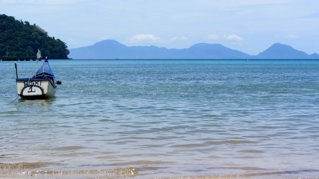
A Natural Hazards Earth System Sciences (NHESS) paper proposes a new sampling method for reducing uncertainty in geographical location in seismic hazard risk analysis, with implications for the insurance industry and risk communication in general.   Globally, rapid urbanisation is increasing the risk of exposure of human populations and infrastructure to natural hazards, including earthquakes ...[Read More]

Imaggeo On Monday: Reflections in floodwater

Imaggeo On Monday: Reflections in floodwater

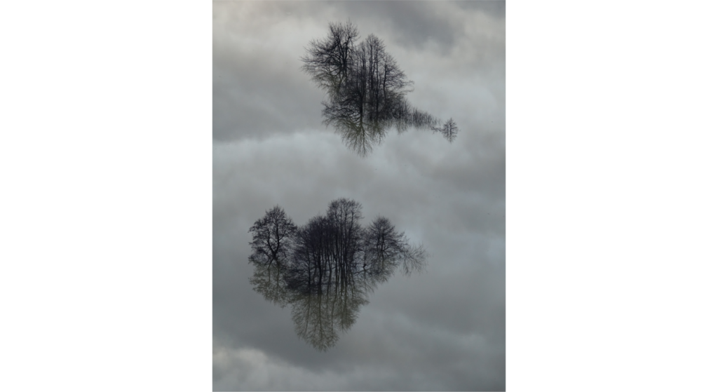
This picture shows several trees and the sky reflecting in floodwater during an event that occured in February 2019 in front of the famous Postojna cave (Slovenia). In Slovenian karst areas, floods are considered as a very common natural phenomenon that can occur several times per year. While most of them are not harmful for local people, the most severe events cause considerable damages and might ...[Read More]

Imaggeo On Monday: Tragédia em Petropolis (Brazil)

Imaggeo On Monday: Tragédia em Petropolis (Brazil)

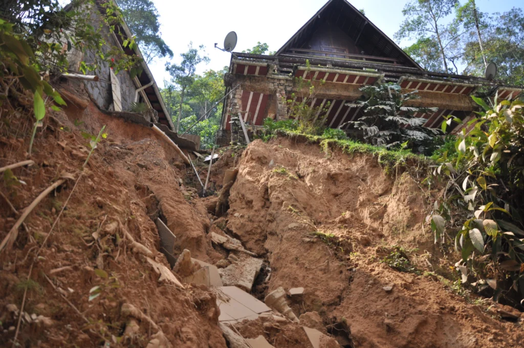
A series of deadly landslides and debris flows occurred in March 2013 in Petropolis, a municipality in the Brazilian state of Rio de Janeiro. This photo has been shot a little more than a month later. It highlights the important “supporting role” played by sewer pipes in this disaster. Description by Michele Calvello, after the description on imaggeo.egu.eu.   Imaggeo is the EGU’s ...[Read More]

Imaggeo On Monday: The many sides of Australia’s bushfires

Imaggeo On Monday: The many sides of Australia’s bushfires

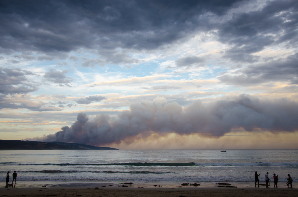
Bushfires in Australia are frequent in the hot and dry months characteristic of its climate. Their severity and seasonality is affected by climate change, and they impact extensive areas every year.   At first sight, they might look harmful and dangerous, since they can cause property damage and loss of human life. However, the natural ecosystem has developed different strategies to either re ...[Read More]

The Sendai Framework – a five year review

The Sendai Framework – a five year review

The Sendai Framework for Disaster Risk Reduction 2015-2030 is a set of agreed commitments for member states of the United Nations to act on the prevention of ‘new’ disasters and reduce existing disaster risk through the implementation of integrated and inclusive economic, structural, legal, social, health, cultural, educational, environmental, technological, political and institutional measures. T ...[Read More]

Imaggeo On Monday: Lahar in the jungle, Mexico

Imaggeo On Monday: Lahar in the jungle, Mexico

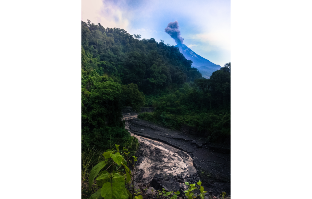
Volcán de Colima currently is the most active volcano in Mexico where many rain-induced lahars occur every year. La Lumbre ravine is the ephemeral channel that drains the west-southwestern slopes of the volcano. In 2016, while Volcán de Colima experienced a prolonged explosive phase, several lahars were documented in this channel. One of them is shown in his picture, taken on August 13, 2016, du ...[Read More]

Geosciences Column: Thunderstorm asthma, the unexpected impact of lightning storms on pollen allergies.

Geosciences Column: Thunderstorm asthma, the unexpected impact of lightning storms on pollen allergies.

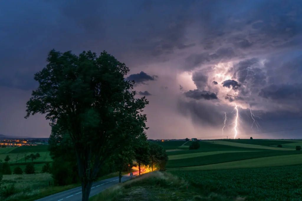
In October 2015 a series of massive thunderstorms rolled across the Eastern Mediterranean. In the hours and days that followed many people living along the Israeli coast had to go to their nearest medical centre because they were experiencing respiratory problems, which appeared very similar to asthma. But what could have caused these breathing problems? Well in research recently published in Natu ...[Read More]

GEOtrivial Pursuit: a new way to teach, learn and share the Earth Sciences

GEOtrivial Pursuit: a new way to teach, learn and share the Earth Sciences

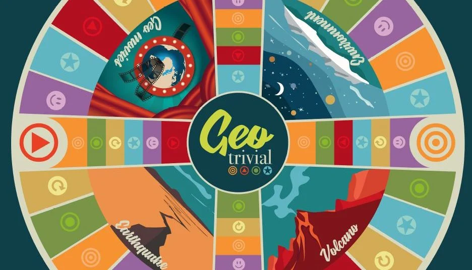
On Wednesday 6 May (6-8pm CEST), the now famous Geoscience Games Night is going to take place on YouTube as a live stream! So, this is the perfect moment to introduce a new scientific game which for many of you, is going to remind you of a game created in the late 70s in Quebec. Yes, I am talking about Trivial Pursuit! But instead of History, Entertainment and Sports questions, creators Valeria Mi ...[Read More]

Imaggeo on Mondays: The mirror of the volcano

Imaggeo on Mondays: The mirror of the volcano

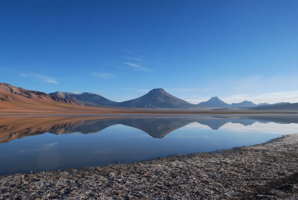
Lascar volcano is located in the Antofagasta Region of Chile. This stratovolcano (a conical volcano built up over time through successive eruptions of lava, tephra and ash) of the Central Volcanic Zone of the Andes is the most active volcano of the region, with a height of 5.592 m (18,34 ft). The last phase of eruptive activity before this photo was taken was on October 30, 2015, which produced an ...[Read More]

Inclusive flood mapping: using citizen science to collect historical flood data in Dakar, Senegal.

Inclusive flood mapping: using citizen science to collect historical flood data in Dakar, Senegal.

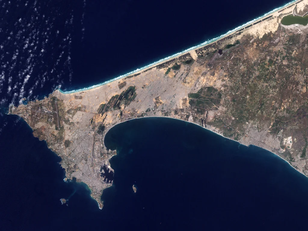
During the month of February, we are focusing on ‘Accessibility and Inclusivity’ here at the EGU. Although these topics are clearly relevant to the General Assembly, some people may wonder whether they also relate to scientific research. Clearly all geoscientists are people, so accessibility and inclusivity matter regardless of what scientific discipline they are in. But there can also be tangible ...[Read More]