GeoLog

Geomorphology

November GeoRoundUp: the best of the Earth sciences from around the web

November GeoRoundUp: the best of the Earth sciences from around the web

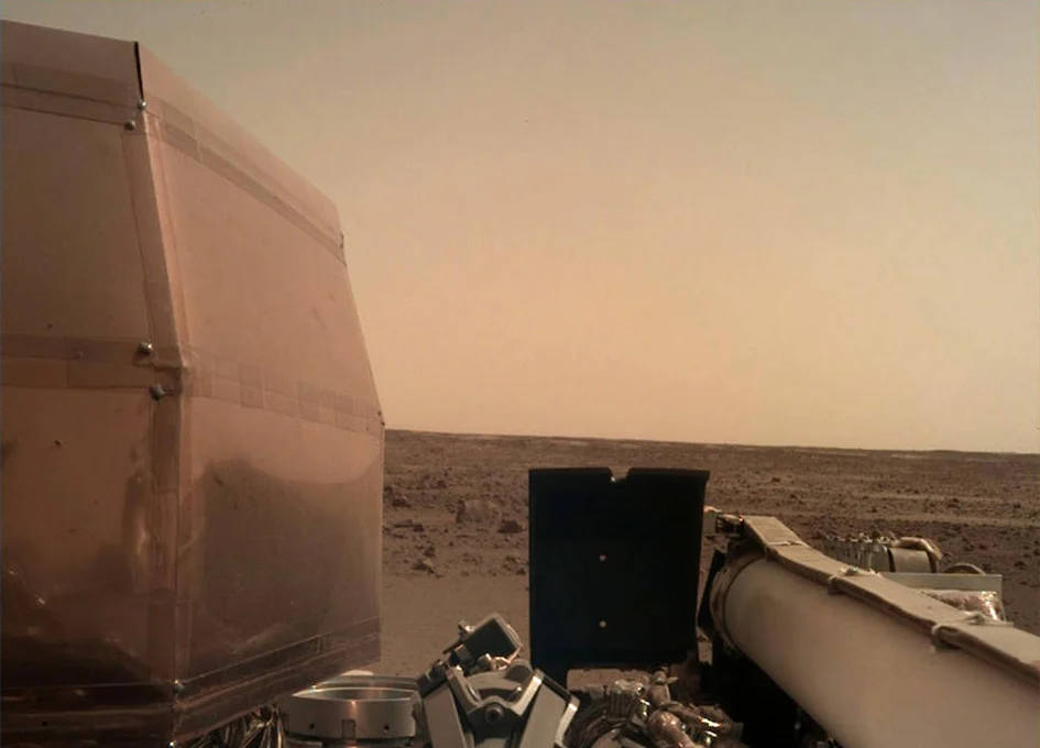
Drawing inspiration from popular stories on our social media channels, major geoscience headlines, as well as unique and quirky research, this monthly column aims to bring you the latest Earth and planetary science news from around the web. Major stories Earth’s red and rocky neighbor has been grabbing a significant amount of attention from the geoscience media this month. We’ll give you the rundo ...[Read More]

Imaggeo on Mondays: Watching the world from space with EarthKAM

Imaggeo on Mondays: Watching the world from space with EarthKAM

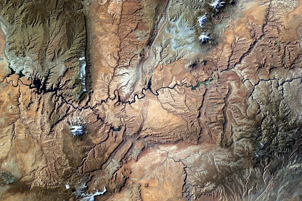
This photo was taken from the International Space Station (ISS), approx. 400 km above the Earth, in the NASA-led educational project Sally Ride EarthKAM (www.earthkam.org), Mission 58, April 2017. The image was requested by a team of 10th and 11th grade students from the National College of Computer Science, Piatra-Neamț, Romania, coordinated by me. The lenses used on the digital camera mounted on ...[Read More]

Imaggeo on Mondays: Small scale processes, large scale landforms

Imaggeo on Mondays: Small scale processes, large scale landforms

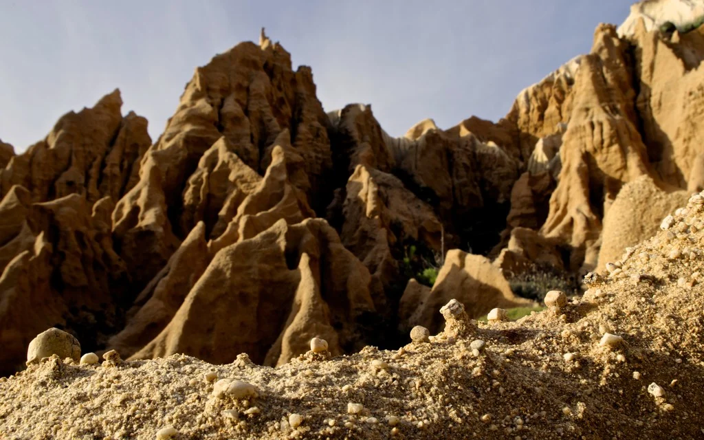
This picture was taken in a sea cliff gully landscape at the Portuguese coast. It shows the microrelief which small scale wash and erosional processes produce in these poorly consolidated sediments. These small scale landforms could be interpreted as initial stages of larger scale gully landforms, which can be seen in the back. This highlights the importance of regarding scales and scale linkages ...[Read More]

Imaggeo on Mondays: Hole in a hole in a hole…

Imaggeo on Mondays: Hole in a hole in a hole…

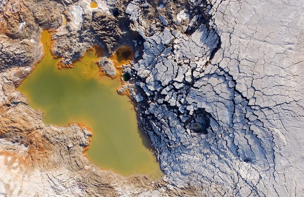
This photo, captured by drone about 80 metres above the ground, shows a nested sinkhole system in the Dead Sea. Such systems typically take form in karst areas, landscapes where soluble rock, such as limestone, dolomite or gypsum, are sculpted and perforated by dissolution and erosion. Over time, these deteriorating processes can cause the surface to crack and collapse. The olive-green hued sinkho ...[Read More]

Imaggeo on Mondays: A modern cliff hides ancient dunes

Imaggeo on Mondays: A modern cliff hides ancient dunes

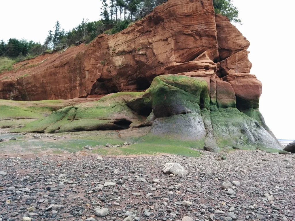
Ancient sand dunes exposed off a cliff face on the shoreline of Nova Scotia at the Islands Provincial Park. The juxtaposition of the high angled strata and flat lying layers above revels the drastic change in climate in Nova Scotia’s history; from vast sand dunes to a calm lake system, and presently the western coastline of the Atlantic Ocean. Description by Robert Wu, as it first appeared o ...[Read More]

Imaggeo on Mondays: How erosion creates natural clay walls

Imaggeo on Mondays: How erosion creates natural clay walls

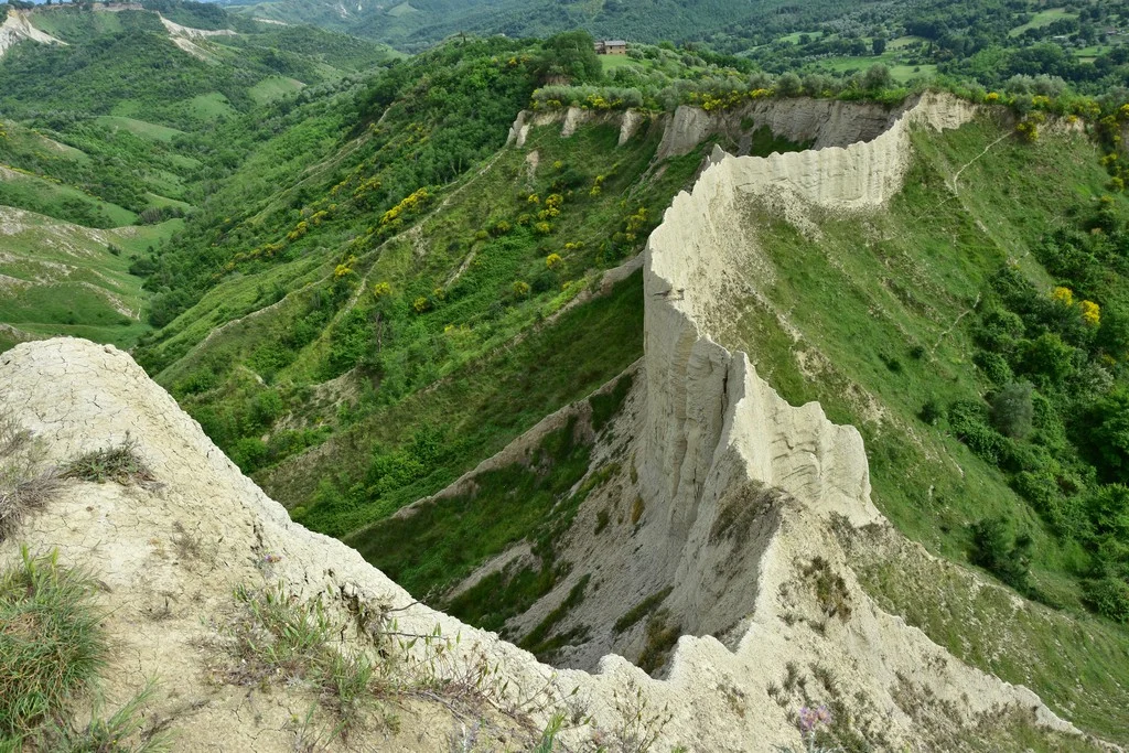
The badlands valley of Civita di Bagnoregio is a hidden natural gem in the province of Viterbo, Italy, just 100 kilometres from Rome. Pictured here is the ‘wall,’ one of the valley’s most peculiar features, where you can even find the wooden structural remains of a trail used for agricultural purposes in the 19th and 20th centuries. The photograph was taken by Chiara Arrighi, a post-doc research a ...[Read More]

Imaggeo on Mondays: The Henry Mountains, living textbook of modern geomorphology

Imaggeo on Mondays: The Henry Mountains, living textbook of modern geomorphology

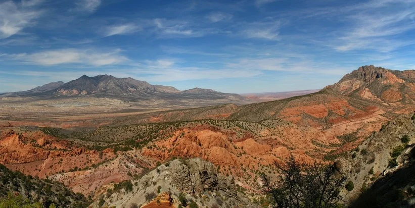
In 1877, the United States Geological Survey published a report “On the Geology of the Henry Mountains”, on the small range of peaks in southern Utah, pictured here. Up to that point, little scientific study had been made of the unassuming peaks, but the author of the report, one Grove Karl Gilbert, not only detailed the structure and mineralogy of the landscape, but in doing so also l ...[Read More]

Imaggeo on Mondays: Fairy chimneys in Love Valley

Imaggeo on Mondays: Fairy chimneys in Love Valley

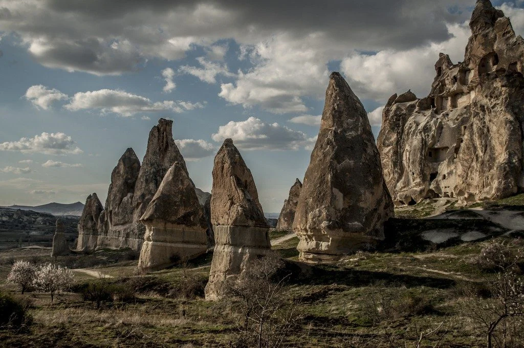
Every year tourists from around the world flock to Love Valley in Göreme National Park in the Cappadocia region of central Turkey to marvel at the region’s peculiarly pointy geological features. These cone-shaped formations, known as ‘fairy chimneys’ or hoodoos, dominate the park’s skyline, with some rocky spires extending up to 40 metres towards the sky. While the name ‘fairy chimney’ suggests my ...[Read More]

Imaggeo on Mondays: The Gower Peninsula, a coast marked by time

Imaggeo on Mondays: The Gower Peninsula, a coast marked by time

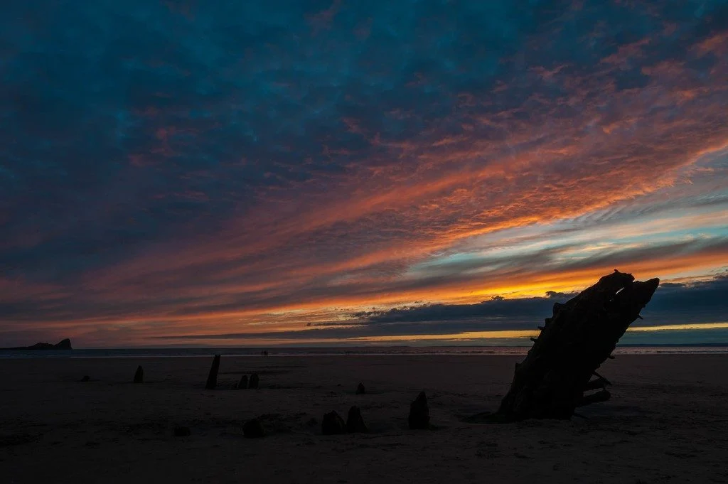
The Gower Peninsula in South Wales, United Kingdom, is a spectacular site to view a sunset. However, to geologists, the shore is also a prime spot to find artifacts from Earth’s ancient and recent past. “The limestone coastline is dotted with caves that are rich in Quaternary flora and fauna,” said Mike Smith a visiting researcher at Plymouth University (UK) and photographer of this featured image ...[Read More]

Imaggeo on Mondays: Corno Grande, tallest peak of the Apennines

Imaggeo on Mondays: Corno Grande, tallest peak of the Apennines

In the middle of the Apennines lays the Gran Sasso d’Italia mountain chain, a picturesque collection of mountains situated in the heart of Italy. Featured here is one of the chain’s peaks, called the Corno Grande, meaning ‘Big Horn,’ coloured with a faint reddish light of a late-winter sunset. Sitting at 2,912 metres, this summit is easily the highest mountain in the Apennines. The areas sur ...[Read More]