GeoLog

Geomorphology

GeoSciences Column: Forests in flux – log-jams in the Amazon

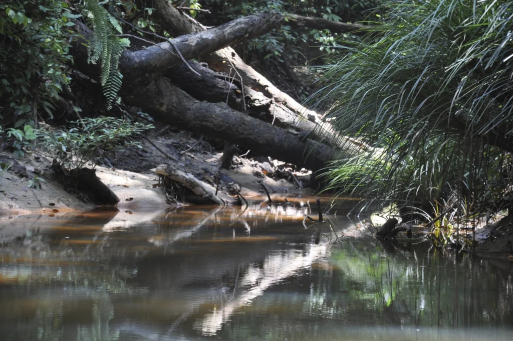
GeoSciences Column: Forests in flux – log-jams in the Amazon

Collapsing dams are a staple of disaster films, but the form that these take in natural systems is also surprisingly varied. Streams and rivers can be blocked by a range of rapid and gradual inputs. One of the lesser-known causes of stream blockage is through the accumulation of large woody debris – tree trunks and large branches – to form a log jam. The impact of these jams on river geomorphology ...[Read More]

Imaggeo on Mondays: Ice forming on Chesapeake Bay

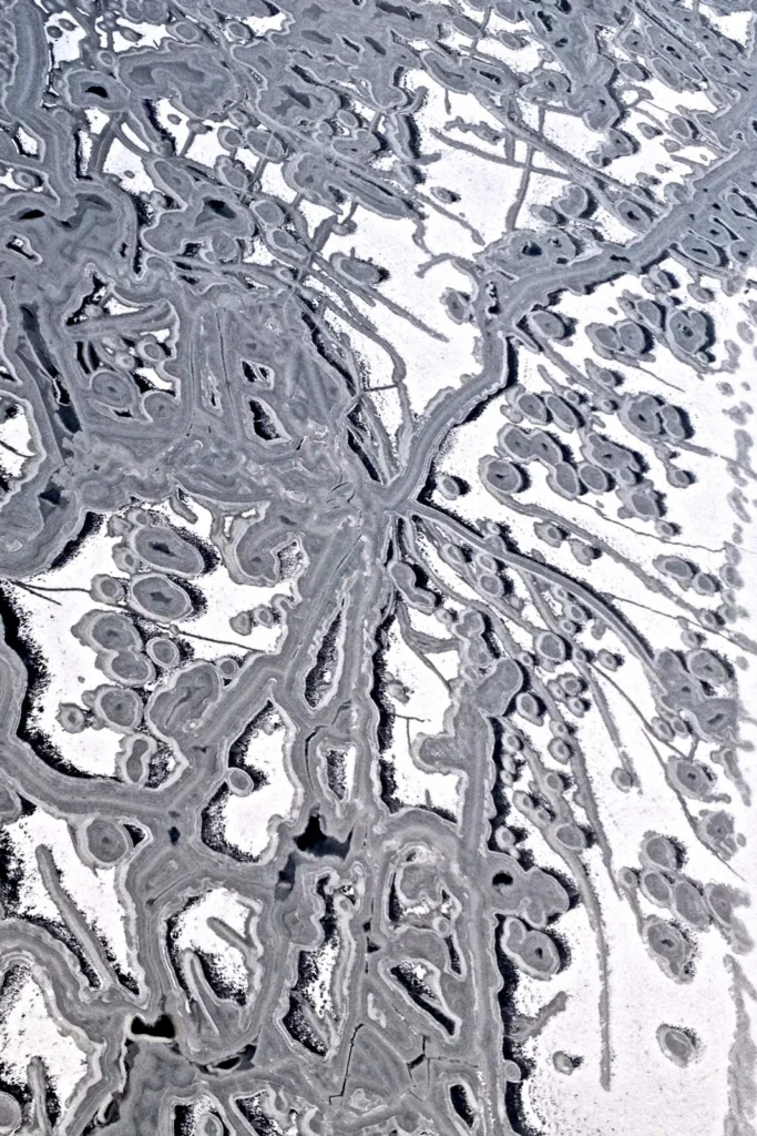
Imaggeo on Mondays: Ice forming on Chesapeake Bay

Sandwiched between the U.S states of Mayland, Delaware, Pennsylvania, New York State, the District of Columbia and Virginia, lies Chesapeake Bay, the largest estuary in North America. It is of huge ecological importance: “the bay, its rivers, wetlands and forests provide homes, food and protection for countless animals and plants”, says the Chesapeake Bay Program. Up to 150 major rivers and stream ...[Read More]

Imaggeo on Mondays: Isolated atoll

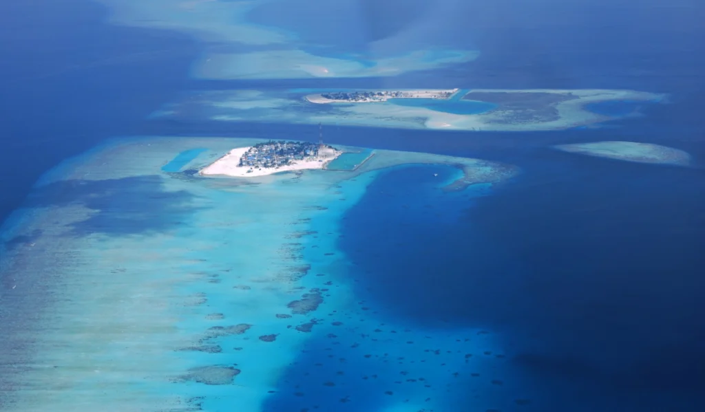
Imaggeo on Mondays: Isolated atoll

Covering a total area of 298 km², the idylic natural atolls and reefs of the Maldives stretch across the Indian Ocean. The tropical nation is famous for it’s crystal clear waters and picture perfect white sand beaches, but how did the 26 ring-shaped atolls and over 1000 coral islands form? Coral reefs commonly form immediately around an island, creating a fringe which projects seawards from the sh ...[Read More]

Imaggeo on Mondays: A prehistoric forest

Imaggeo on Mondays: A prehistoric forest

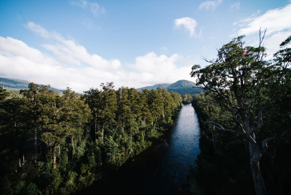
This stunning vista encompasses the south-western wilderness of Tasmania as seen from the Tahune air walk 60 m above the Huon river valley. In front lies the beginning of a huge UNESCO World Heritage Site, covering almost a fourth of the area of Tasmania. The site mostly consists of a pristine, temperate rainforest of Gondwanan origin that is home to the tallest flowering trees in the world; Eucal ...[Read More]

Imaggeo on Mondays: Viñales Valley

Imaggeo on Mondays: Viñales Valley

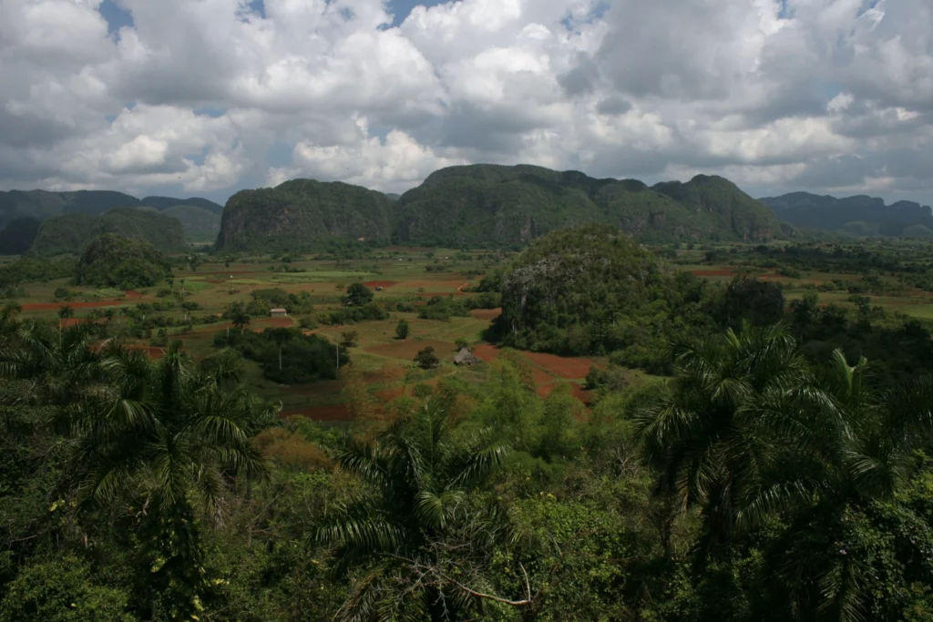
From last week’s unusual desert landscape to this week’s lush valley in Cuba… The picture shows the Vinales Valley, a karstic depression with mogotes in western Cuba. Karst is the general term for landscapes formed when limestone is disolved by carbonic acid, in rain water. This leads, in particular, to the formation of an underground network of caves and rivers. In the tropics, ...[Read More]

GeoSciences Column: When could humans last walk, on land, between Asia & America?

GeoSciences Column: When could humans last walk, on land, between Asia & America?

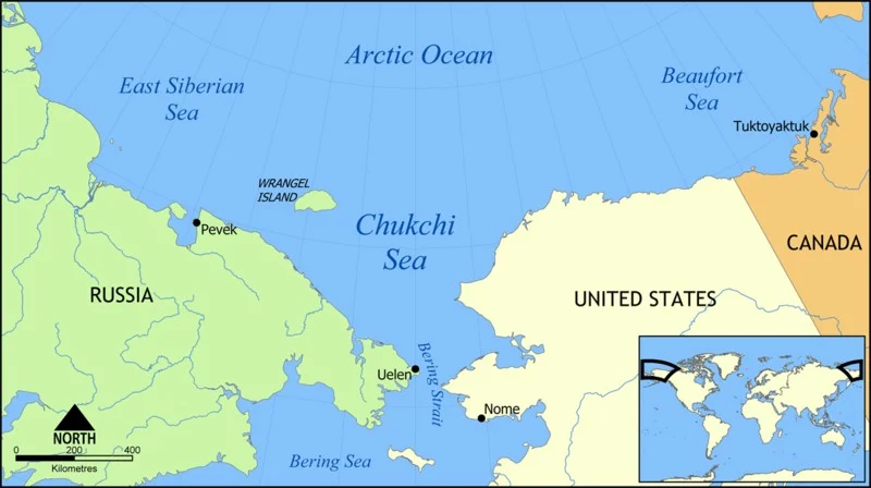
Though now submerged under 53 m of ocean waters, there once was a land bridge which connected North America with Asia, allowing the passage of species, including early humans, between the two continents. A new study, published in the EGU’s open access journal Climate of the Past, explores when the land bridge was last inundated, cutting off the link between the two landmasses. The Bering Strait, a ...[Read More]

Imaggeo on Mondays: A dramatic avalanche from Annapurna South

Imaggeo on Mondays: A dramatic avalanche from Annapurna South

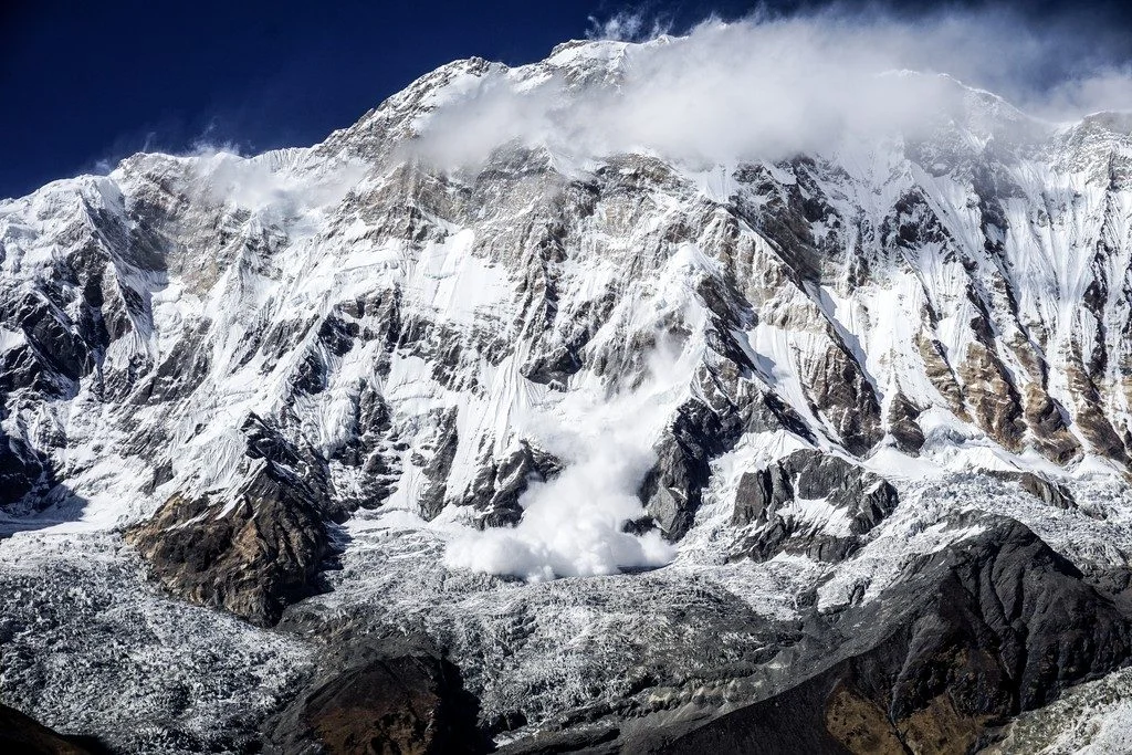
The Annapurna massif is located in an imposing 55 km long collection of peaks in the Himalayas, which behave as a single structural block. Composed of one peak (Annapurna I Main) in excess of 8000 m, a further thirteen peaks over 7000 m and sixteen more of over 6000 m, the massif forms a striking structure within the Himalayas. Annapurna South (pictured in today’s featured image), the 101st talles ...[Read More]

Imaggeo on Mondays: Sediments make the colour

Imaggeo on Mondays: Sediments make the colour

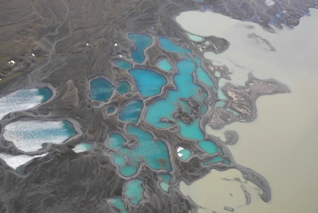
Earth is spectacularly beautiful, especially when seen from a bird’s eye view. This image, of a sweeping pattern made by a river in Iceland is testimony to it. The picture shows river Leirá which drains sediment-loaded glacial water from the Myrdalsjökull glacier in Iceland. Myrdalsjökull glacier covers Katla, one of Iceland’s most active and ice-covered volcanoes. A high sediment load (the suspen ...[Read More]

Imaggeo on Mondays: Salt shoreline of the Dead Sea

Imaggeo on Mondays: Salt shoreline of the Dead Sea

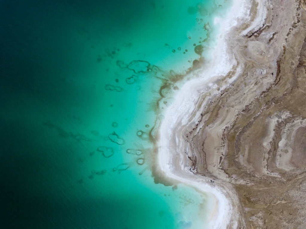
This beautiful aerial image (you’d be forgiven for thinking that it was a watercolour) of the Dead Sea was captured by a drone flying in 100m altitude over its eastern coastline. Climate change is seeing temperatures rise in the Middle East, and the increased demand for water in the region (for irrigation) mean the areas on the banks of the lake are suffering a major water shortage. As a result, t ...[Read More]

Imaggeo on Mondays: Airplane views of the Alps

Imaggeo on Mondays: Airplane views of the Alps

The forward scattering of sunlight, which is caused by a large number of aerosol particles (moist haze) in Alpine valleys, gives the mountain massifs a rather plastic appearance. The hazy area in the foreground lies above the Koenigsee lake; behind it the Watzmann, Hochkalter, Loferer Steinberge and Wilder Kaiser massifs loom up behind one other to the right of the centre line. Behind them is the ...[Read More]