GeoLog

Geomorphology

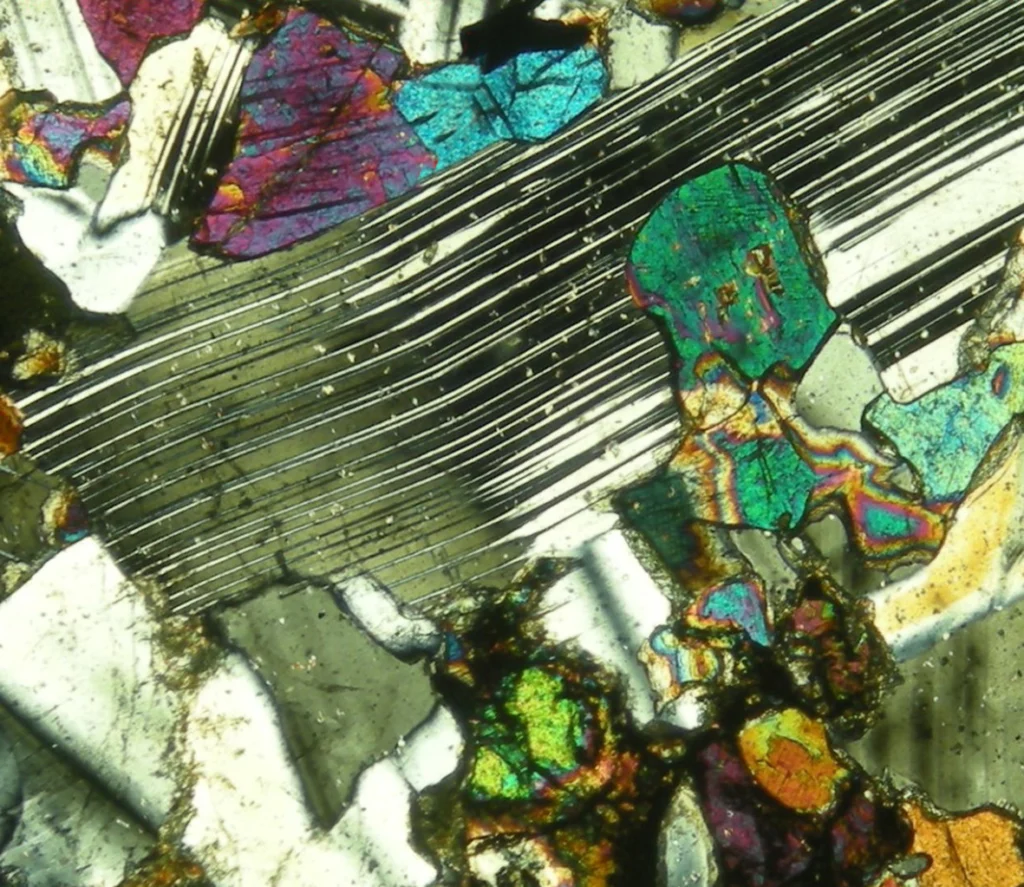
Imaggeo on Mondays: What a thin section has to say about the deformation of the Zagros Mountains

Imaggeo on Mondays: What a thin section has to say about the deformation of the Zagros Mountains

The impressive Zagros Orogeny, as seen from a bird’s-eye view, has featured on Imaggeo on Monday’s blog posts a few times recently. From its fluvial dissection features, through to a false colour LANDSAT 7 image which reveals a velociraptor hiding among fold and thrusts, we’ve looked at the broad scale structures which shape the Zagros mountains. This week, the scale changes entirely: we zoom righ ...[Read More]

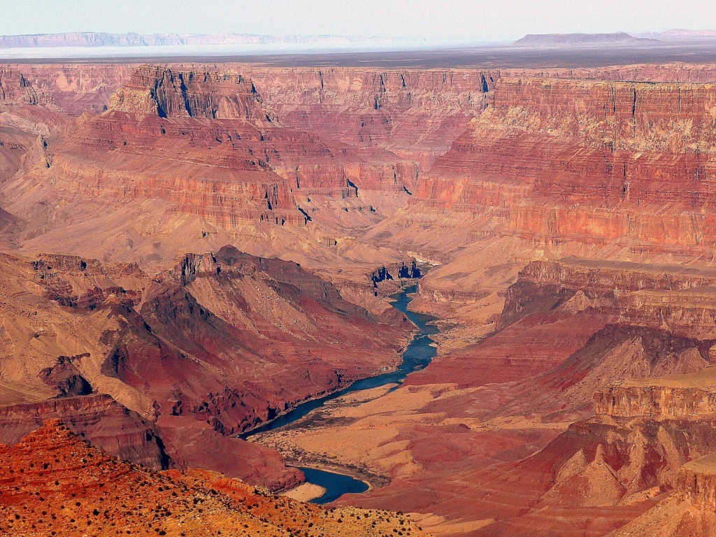
Imaggeo on Mondays: The Grand Canyon and celebrating Earth Science Week

Imaggeo on Mondays: The Grand Canyon and celebrating Earth Science Week

Today marks the start of Earth Science Week – a yearly international event which aims to help the public gain a better understanding and appreciation for the Earth Sciences. The event is promoted by the American Geosciences Institute and the Geological Society of London, amongst others, so be sure to head to their websites to find out more. Our Imaggeo on Monday’s image celebrates Earth Science We ...[Read More]

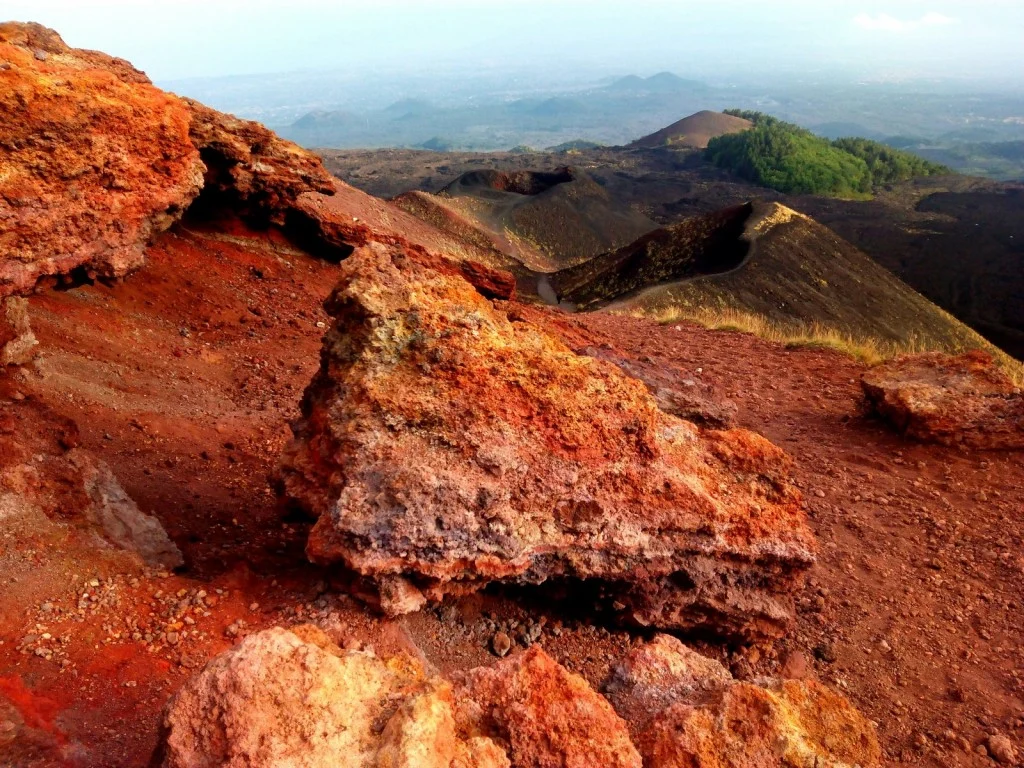
Imaggeo on Mondays: Mount Etna

Imaggeo on Mondays: Mount Etna

In this week’s Imaggeo on Monday’s image an almost Martian looking landscape, with ombre coloured soils, gives way to gently rolling hills, covered in luscious woods and vegetation. Were it not for the trees in the distance, you would be forgiven for thinking this image had been captured by a Mars rover. In truth, it is an entirely more earthly landscape: welcome to the slopes of Mt. Etna! Keep on ...[Read More]

Imaggeo on Mondays: Moulin on the Athabasca Glacier

Imaggeo on Mondays: Moulin on the Athabasca Glacier

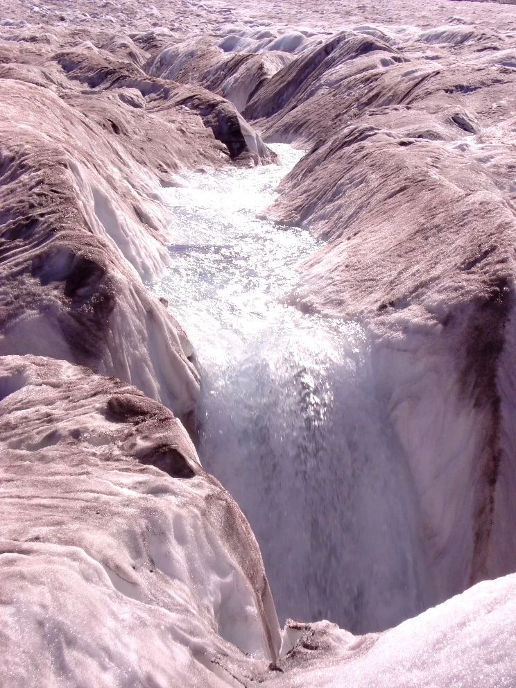
The Athabasca Glacier is located in Jasper National Park, in the Canadian Rockies. It is the largest of seven named distributary glaciers carrying ice away from the Columbia Icefield, the largest icefield in the Rocky Mountains. This picture shows a summer meltwater stream running on the surface of the ice disappear in a moulin – a vertical shaft forming part of the glacier’s internal plumbing sys ...[Read More]

Imaggeo on Mondays: The organisation of a river system

Imaggeo on Mondays: The organisation of a river system

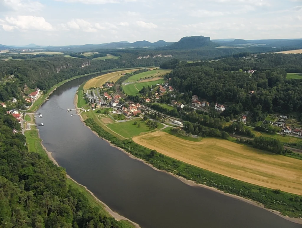
The picture shows the Elbe Rivervalley, one of the major rivers of Central Europe. It was taken from the Bastei Bridge close to Rathen, which towers 194 meters above the Elbe River in the state of Saxony in the south-eastern Germany. This region belongs to the national park known as Saxon Switzerland. Together with the Bohemian Switzerland in the Czech Republic, the Saxon Switzerland National Park ...[Read More]

Imaggeo on Mondays: Tombstones Mountains

Imaggeo on Mondays: Tombstones Mountains

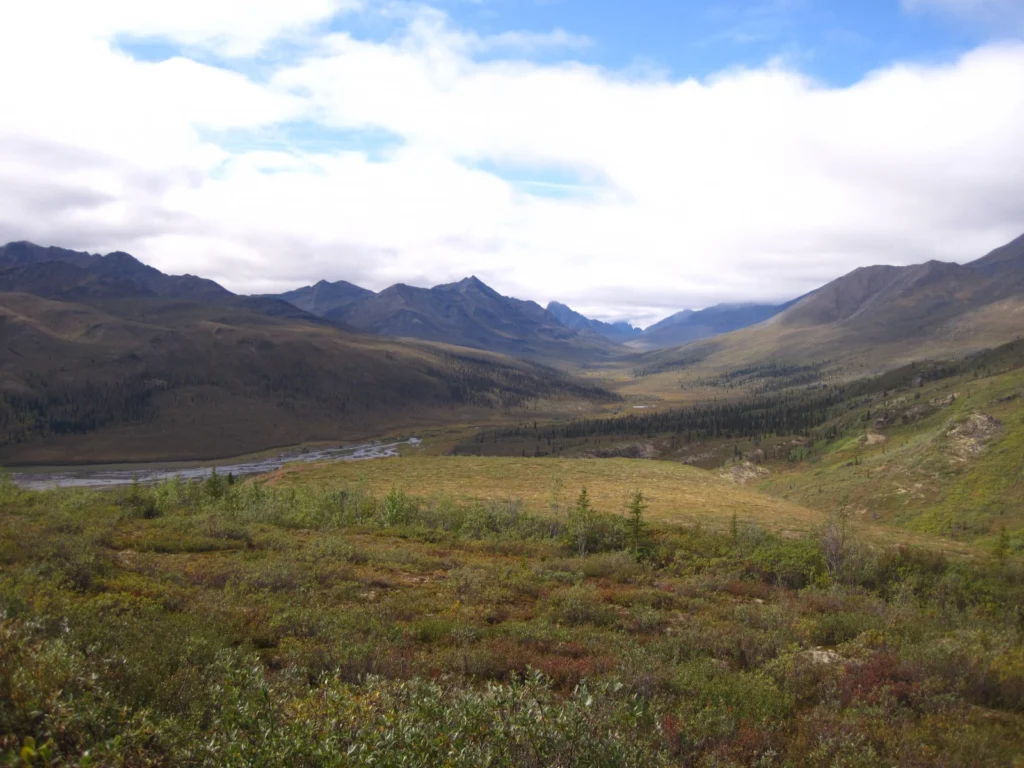
This week’s Imaggeo image is brought to you by one of our network bloggers, Matt Herod. Of the image, Matt said ” this particular one is one of my all time favourites. I have even blown it up and hung it on my wall at home,” and we couldn’t agree more; this Canadian landscape is breathtaking. Dive into this post and let Matt take you on a tour of the hydrology, archaeology ...[Read More]

Imaggeo on Mondays: Mesopotamia, the ancient land between rivers

Imaggeo on Mondays: Mesopotamia, the ancient land between rivers

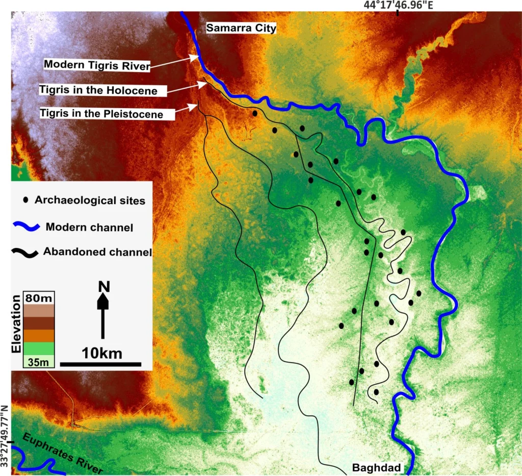
Mesopotamia, an area rich in history and considered as the cradle of civilisation, with the first populations establishing themselves in the region some 6000 years ago,lies between two great rivers: the Euphrates and the Tigris. The ancient territory spans areas of modern-day Iraq, Kuwait, the northeastern section of Syria and small sections of southeastern Turkey and southwestern Iran. The histor ...[Read More]

The EGU Network blogs are looking for guest contributions

The EGU Network blogs are looking for guest contributions

Are you a budding science writer, or want to try your hand at science communication? You might just be the person for our EGU network bloggers! A number of our network blogs would like to give their pages a bit of a boost and are seeking guest bloggers to contribute new, informative and engaging posts on an ad hoc basis. If you’ve recently been thinking about trying your hand at blogging, but aren ...[Read More]

Imaggeo on Mondays: Mountains, rivers and agriculture

Imaggeo on Mondays: Mountains, rivers and agriculture

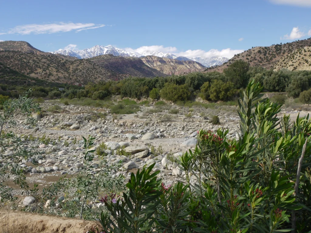
This week’s Imaggeo on Mondays image blends a range of geoscience disciplines. The post, by Irene Marzolff, a researcher at Johann Wolfgang Goethe-Universitaet, explores how the mountains, rivers and soils of the High Atlas in Morocco are intrinsically linked to the agriculture of the region. The image was taken in the southern slopes of the Western High Atlas, north of the city of Taroudann ...[Read More]

Imaggeo on Mondays: The place where water runs through rocks

Imaggeo on Mondays: The place where water runs through rocks

Antelope Canyon, located in Arizona, USA, was formed by erosion of the Navajo Sandstone, primarily due to flash flooding and secondarily due to other sub-aerial processes (think of physical weathering processes such as freeze-thaw weathering exfoliation and salt crystallisation). Rainwater runs into the extensive basin above the slot canyon sections, picking up speed and sand as it rushes into the ...[Read More]