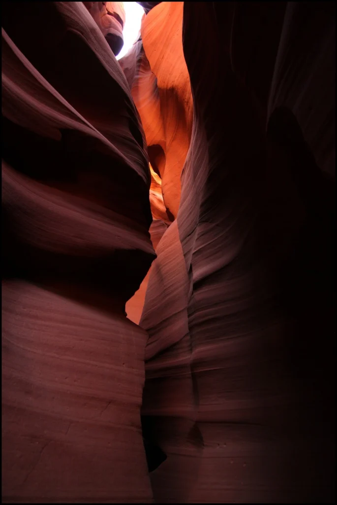
Antelope Canyon, located in Arizona, USA, was formed by erosion of the Navajo Sandstone, primarily due to flash flooding and secondarily due to other sub-aerial processes (think of physical weathering processes such as freeze-thaw weathering exfoliation and salt crystallisation). Rainwater runs into the extensive basin above the slot canyon sections, picking up speed and sand …[Read More]
Geomorphology
Imaggeo on Mondays: A voyage through scales – The Badlands National Park, South Dakota.
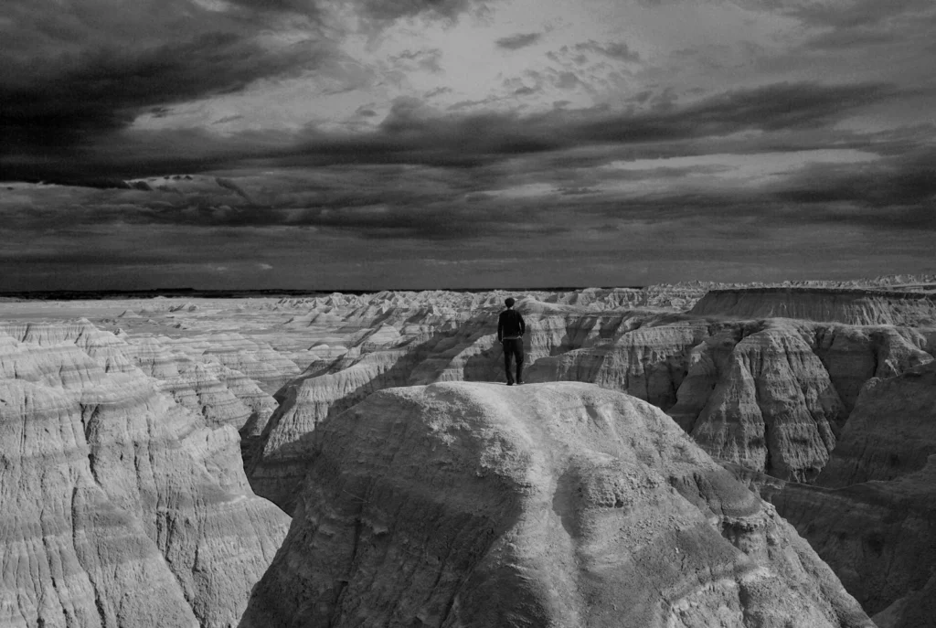
Layer upon layer of sand, clay and silt, cemented together over time to form the sedimentary units of the Badlands National Park in South Dakota, USA. The sediments, delivered by rivers and streams that criss-crossed the landscape, accumulated over a period of millions of years, ranging from the late Cretaceous Period (67 to 75 million …[Read More]
The day the Earth trembled: A first-hand account of the 25 April Nepal earthquake
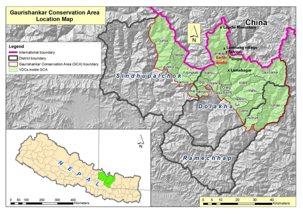
On the 25th April 2015, Viktor Bruckman, a researcher at the Austrian Academy of Sciences, and a team of his colleagues were a few hours into a hike between the settlements of Lamabagar, in a remote area of northeastern Nepal, and the Lapchi Monastery when a magnitude 7.8 earthquake struck Nepal. Their journey cut short …[Read More]
Imaggeo on Mondays: Seeing the world through a pothole
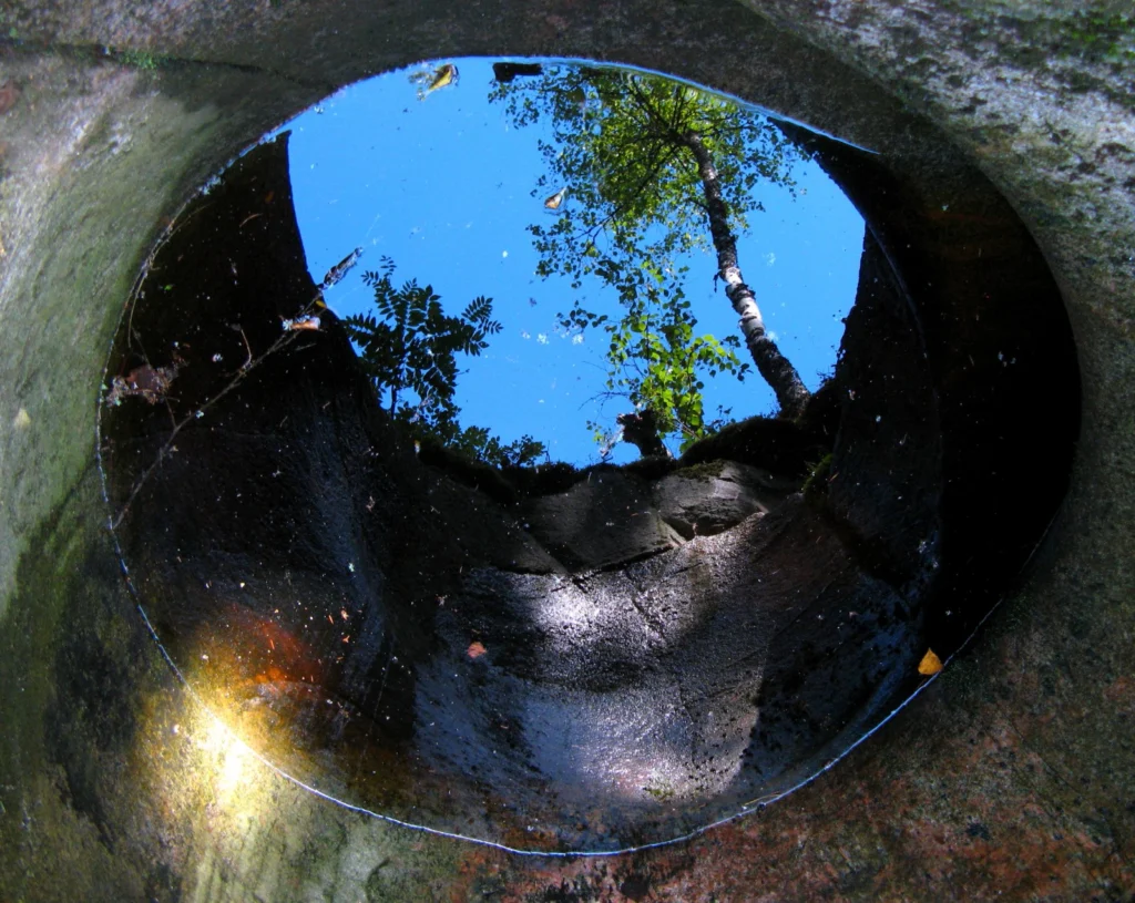
A beautiful image of a forest reflected in a pool of water within a pothole in southern Finland is this Monday’s Imaggeo image and it brought to you by Mira Tammelin, a Finish researcher. The photo illustrates a pothole in the Askola pothole area in southern Finland. The pothole area is situated on the steep slopes …[Read More]
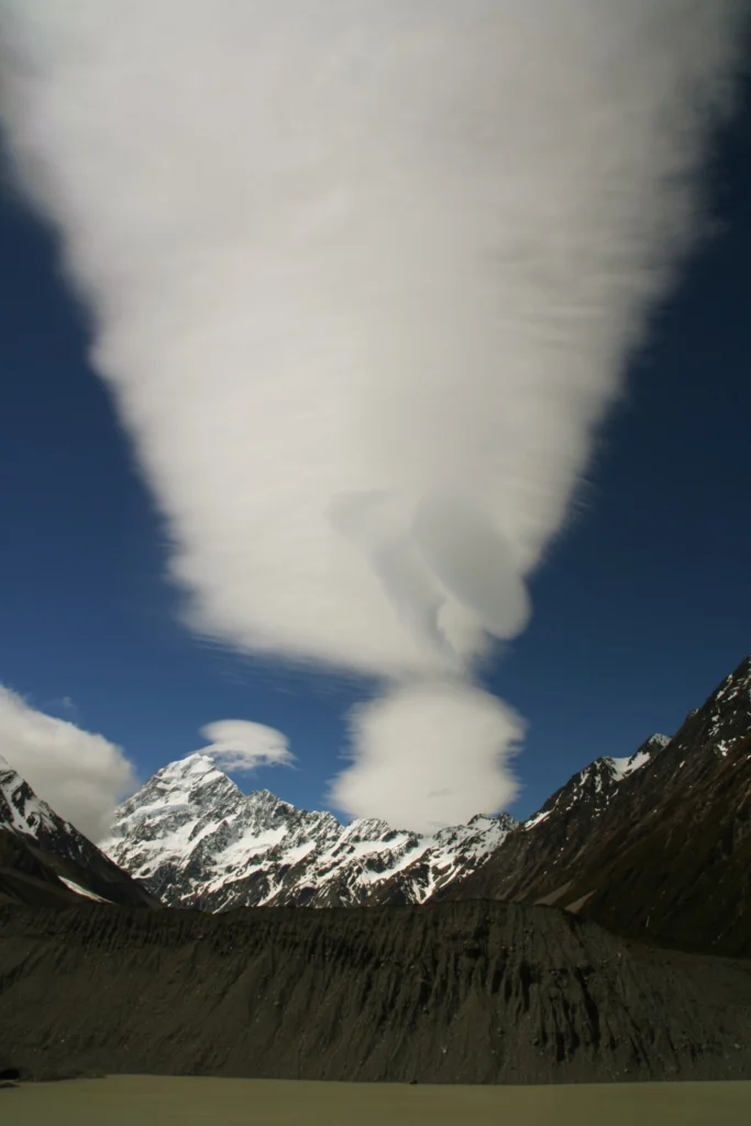
Imaggeo on Mondays: Foehn clouds
This week’s post is brought to you by Stefan Winkler, a Senior Lecturer in Quaternary Geology & Palaeoclimatology, who explains how the mountain tops of the Southern Alps become decorated by beautiful blanket-like cloud formations. The Sothern Alps of New Zealand are a geoscientifically dynamic environment in all aspects. They are arguably one of the …[Read More]
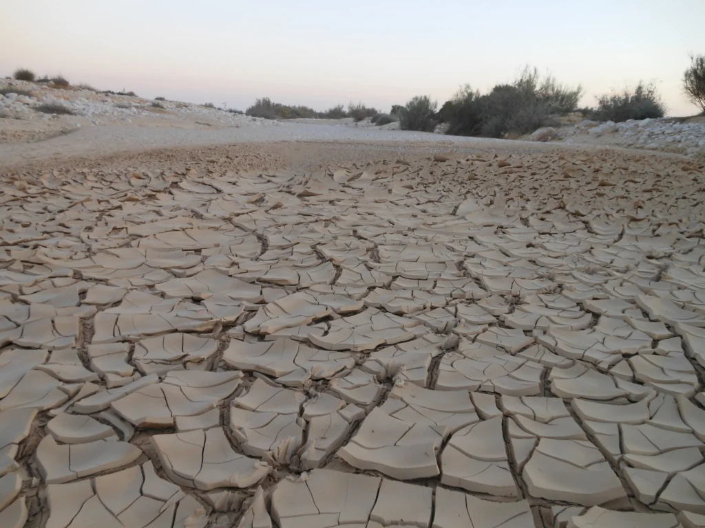
Floods and droughts set to increase due to climate change
The planet is set to encounter a record-level amount of floods and droughts by 2050 – researchers recently announced at the European Geosciences Union’s General Assembly in Vienna. Nikita Marwaha shares their predictions on the impact that climate change will have on these extreme weather conditions. In a study by the Joint Research Centre (JRS) …[Read More]
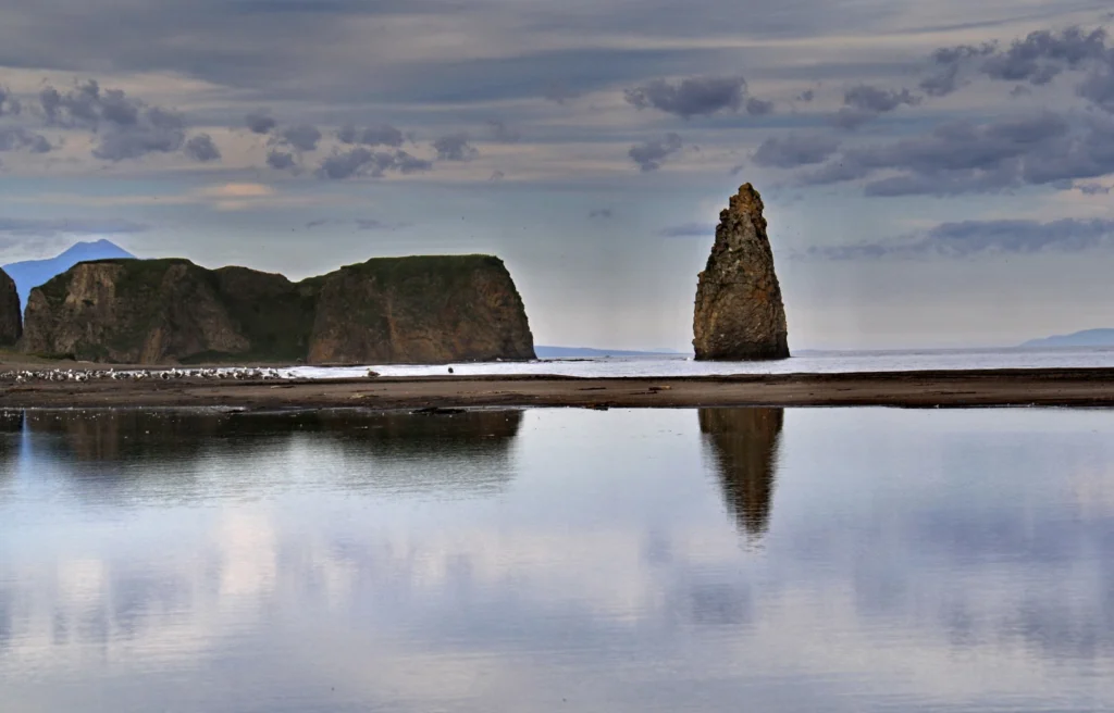
Imaggeo on Mondays: Finger Rock
Standing proud amongst the calm waters of Golovnina Bay is ‘The Devil’s Finger’, a sea stack composed of volcanic sediments. Located on the Pacific coast of Kunashir Island -which is controlled by Russia but claimed by Japan – the stack is testament to the volcanic nature of the region. The island itself is formed of …[Read More]
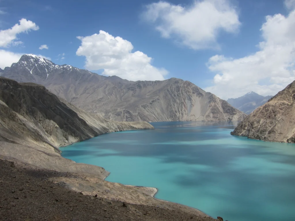
Imaggeo on Mondays: Earthquake Lake
Despite its alluring turquoise waters and rugged mountain backdrop the story behind this beautiful lake is rather more troubling. In today’s Imaggeo on Mondays, the first post since our short break from the traditional format during the General Assembly, Alexander Osadchiev writes about the shaky origins of Sarez Lake. Lake Sarez is situated in Tajikistan, …[Read More]
Communicate Your Science Competition Winner Announced!
Congratulations to Zakaria Ghazoui, the winner of the first ever Communicate Your Science Video Competition 2015. Zakaria is a PhD student at the Institute des Sciences de le Terre (ISTerre) in France, and has been investigating Himalayan lakes using sediment cores. Here is his video, Inside Himalayan Lakes: Display "Inside Himalayan Lakes by Ghazoui Zakaria" …[Read More]
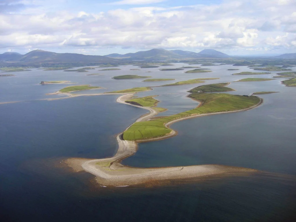
Imaggeo on Mondays: Drumlins Clew Bay
During ice ages landscapes are sculpted by the power of advancing glaciers. From rock scratches, to changing mountains and the formation of corries, cirques and aretes, through to the formation of valleys and fjords, the effects of past glaciations are evident across the northern hemisphere landscape. Perhaps not so familiar, drumlin fields are also vestiges …[Read More]