This week’s post is brought to you by Stefan Winkler, a Senior Lecturer in Quaternary Geology & Palaeoclimatology, who explains how the mountain tops of the Southern Alps become decorated by beautiful blanket-like cloud formations.
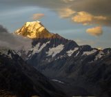
The Sothern Alps of New Zealand are a geoscientifically dynamic environment in all aspects. They are arguably one of the youngest high mountain ranges in the world formed at the plate tectonic boundary between the Australian and the Pacific Plate. Their dominating tectonic structure, the Alpine Fault running some 600 km mainly parallel to the mountain ranges of New Zealand’s South Island, caused not only an impressive horizontal displacement of rock formations, but also an overall vertical uplift of estimated c. 20 km during the past 10 – 15 Million years. Aoraki/Mt.Cook visible in the left background on the image with its height of ‘only’ 3724 m a.s.l. is the highest peak of the mountain range that is currently uplifted by 4 – 5 mm per year. Together with reconstructed uplift rates of up to 10 mm per year for the centre of the Southern Alps this indication how efficient and important weathering and erosion processes are in this region.
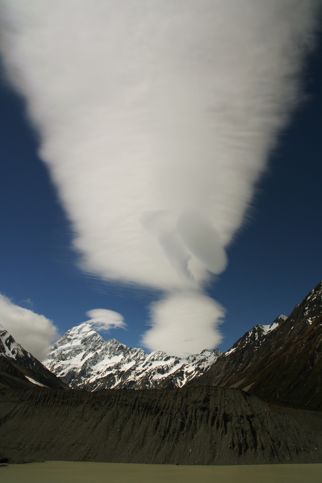
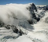
Foehn clouds over Aoraki/Mt.Cook. Credit: Stefan Winkler (distributed via imaggeo.egu.eu)
The ranges of the Southern Alps rise just 10 – 15 km inland the West Coast of the South Island as a wall parallel to the coast line up to 3,000 metres and more. They are a major topographic obstacle for the predominantly westerly airflow and provide a classic example of how ‘föhn’ winds are generated along mountain ranges perpendicular to an air flow. Föhn winds are dry and warm, forming on the downside of a mountain range. On the western slopes of the Southern Alps, orographic precipitation amounts to impressive 5,000 mm at the base and 10,000 mm + on in the high-lying accumulation areas of the mountain glaciers concentrating around the Main Divide. At and east of the Main Divide this locally named ‘Nor’wester’ creates impressive foehn clouds (altocumulus lenticularis, hogback clouds, seen in this week’s Imaggeo on Mondays image) that form in waves parallel to the Main Divide and are often streamlined by the high wind speed. The frequent occurrence of strong and warm Nor’westers contributes to the sharp decline of precipitation immediately east of the Main Divide.
The foreground of the image displays another aspect of this dynamic environment: the current wastage and retreat of glaciers in New Zealand. The section of the proglacial lake with its sediment-laden greyish water colour on the image would still have been covered by the debris-covered lower glacier tongue of Mueller Glacier only 15 years ago. Now, the terminus has retread to a position to the left outside the image. The lake is bounded by the glacier’s lateral moraine – unconsolidated accumulations of rock and soil debris resulting from weathering of the rock walks surrounding a glacire – that are more than 120 m high from base to top (or crest, to give it its technical name) and were last overtopped during the so-called ‘Little Ice Age’ when the glacier surface reached higher than its crest. At this glacier, the maximum of this Little Ice Age has been dated to 1720/30, but as late as during the late 20th century it remained close to its frontal maximum position and had only shrunk vertically. Today the lateral moraines are heavily reworked and eroded by paraglacial processes following the latest vertical and horizontal ice retreat. In some places on Mueller Glacier’s foreland the crest of lateral moraines retreat up to 1 m per year back and give again evidence of a very dynamic geo-ecosystem.
By Stefan Winkler, Senior Lecturer in Quaternary Geology and Palaeoclimatology at the Univeristy of Canterbury.
Imaggeo is the EGU’s online open access geosciences image repository. All geoscientists (and others) can submit their photographs and videos to this repository and, since it is open access, these images can be used for free by scientists for their presentations or publications, by educators and the general public, and some images can even be used freely for commercial purposes. Photographers also retain full rights of use, as Imaggeo images are licensed and distributed by the EGU under a Creative Commons licence. Submit your photos at http://imaggeo.egu.eu/upload/.

