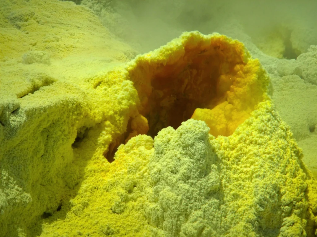
This photograph was taken in 2012 on a guided tour to Whakaari/White Island, an active volcano 50 km off the east coast of the North Island of New Zealand. The volcano lies on the northern end of the Taupo Volcanic zone and has possibly been active for the past 150,000 years. How dangerous this island …[Read More]
New Zealand
Imaggeo on Mondays: Our QUEST for innovative tools to understand changing environments and climates
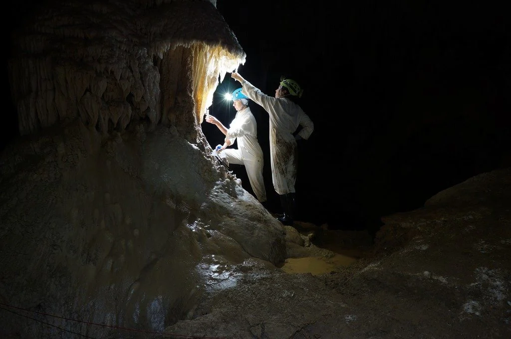
The photo shown here shows typical sampling work underground. You can see Ola Kwiecien and Cinthya Nava Fernandez, researchers at Ruhr University Bochum in Germany, collecting dripwater in New Zealand’s Waipuna Cave as part of a four-year EU-funded monitoring programme. Our research aims at developing innovative geochemical indicators that we can use to quantify changes …[Read More]
Imaggeo on Mondays: Tasman Lake Down Under
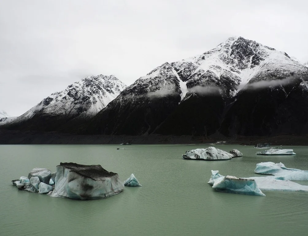
The Tasman Glacier Terminal Lake, seen in this photograph, lies in the Aoraki Mount Cook National Park in New Zealand’s south island. The photographer, Martina Ulvrova, stated she “finally got to see the largest glacier in New Zealand after several days of heavy rain, during which the landscape was bathing in mist”. The Tasman Glacier is 23 km long and is …[Read More]
Imaggeo on Mondays: Nor’Wester in the Southern Alps of New Zealand
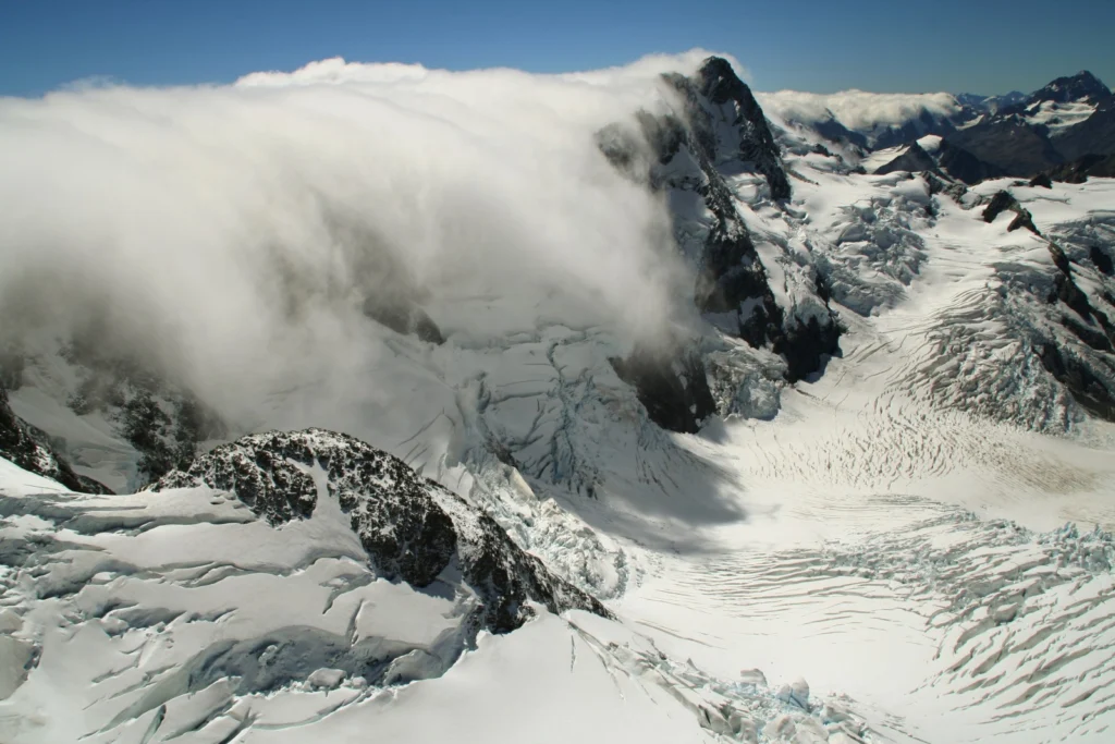
Stephan Winkler’s 2017 Imaggeo Photo Contest finalist photo showcases an unusual weather phenomenon… The image shows a typical weather situation in the Southern Alps of New Zealand with a moist, westerly airflow pushing over the Main Divide [which separates the water catchments of the more heavily populated eastern side of the island from those on …[Read More]
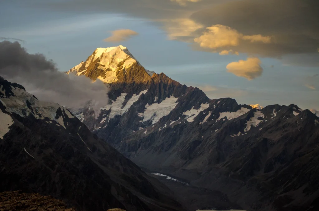
Imaggeo on Mondays: Aoraki & a round-up of the latest New Zealand earthquake news
On Sunday the 13th November, New Zealand’s South Island was struck by a powerful 7.8 M earthquake. Initial analysis by the United States Geological Survey (USGS) indicates that the source of the tremor was faulting on or near the boundary between the Pacific and Australia plates. A tsunami alert (no longer active) was triggered following …[Read More]
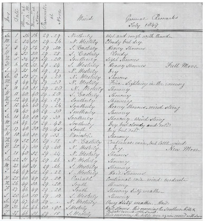
GeoSciences Column: The ‘dirty weather’ diaries of Reverend Richard Davis
Researching the Earth’s climate of the past, helps scientists make better predictions about how the climate and our environment will continue to be affected by, change and adapt to rising temperatures. One of the most invaluable sources of data, when it comes to understanding the Earth’s past climate, are historical meteorological records. Accounts of weather …[Read More]
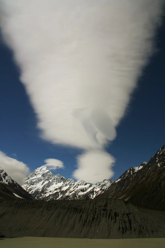
Imaggeo on Mondays: Foehn clouds
This week’s post is brought to you by Stefan Winkler, a Senior Lecturer in Quaternary Geology & Palaeoclimatology, who explains how the mountain tops of the Southern Alps become decorated by beautiful blanket-like cloud formations. The Sothern Alps of New Zealand are a geoscientifically dynamic environment in all aspects. They are arguably one of the …[Read More]
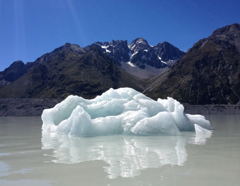
Imaggeo on Mondays: A solitary floating island
With 2014 officially named the hottest year on record, there is evidence of the effects of rising global temperatures across the globe. The solitary, shimmering iceberg in today’s Imaggeo on Mondays photograph is a reminder that one of the best places to look for evidence of change is in glaciers. Daniela Domeisen tells the story …[Read More]