Imaggeo, our open access image repository, is packed with beautiful images showcasing the best of the Earth, space and planetary sciences. Throughout the year we use the photographs submitted to the repository to illustrate our social media and blog posts.
For the past few years we’ve celebrated the end of the year by rounding-up some of the best Imaggeo images. But it’s no easy task to pick which of the featured images are the best! Instead, we turned the job over to you! We compiled a Facebook album which included all the images we’ve used as header images across our social media channels and on Imaggeo on Mondays blog post in 2019 an asked you to vote for your favourites.
Today’s blog post rounds-up the best 12 images of Imaggeo in 2019, as chosen by you, our readers.
Of course, these are only a few of the very special images we highlighted in 2019, but take a look at our image repository, Imaggeo, for many other spectacular geo-themed pictures, including the winning images of the 2019 Photo Contest. The competition will be running again this year, so if you’ve got a flair for photography or have managed to capture a unique field work moment, consider uploading your images to Imaggeo and entering the 2020 Photo Competition.
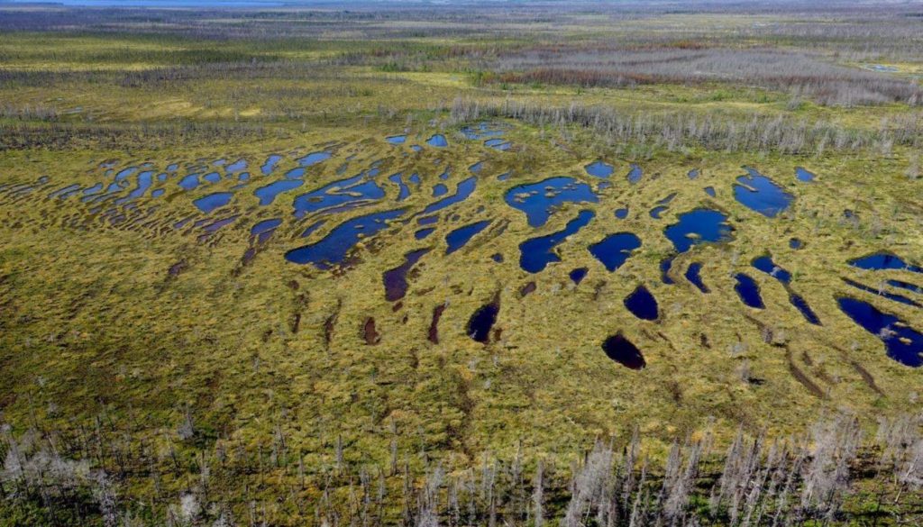
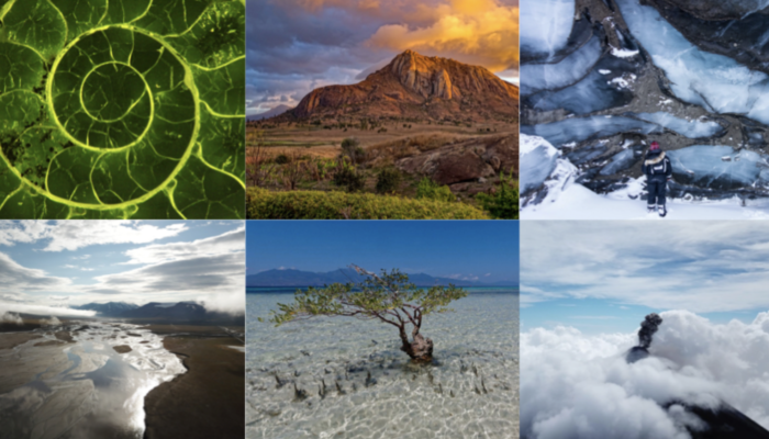
Northern carbon sink. Credit: Mélina Guêné-Nanchen (distributed via imaggeo.egu.eu).
This magnificent pattern is the result of hundreds and hundreds of years of evolution. In this structured minerotrophic peatland in Northern Quebec (Canada), which can also be called a string fen or aapa mire, the green peat ridges (or strings) alternate with water-filled hollows (or flarks).
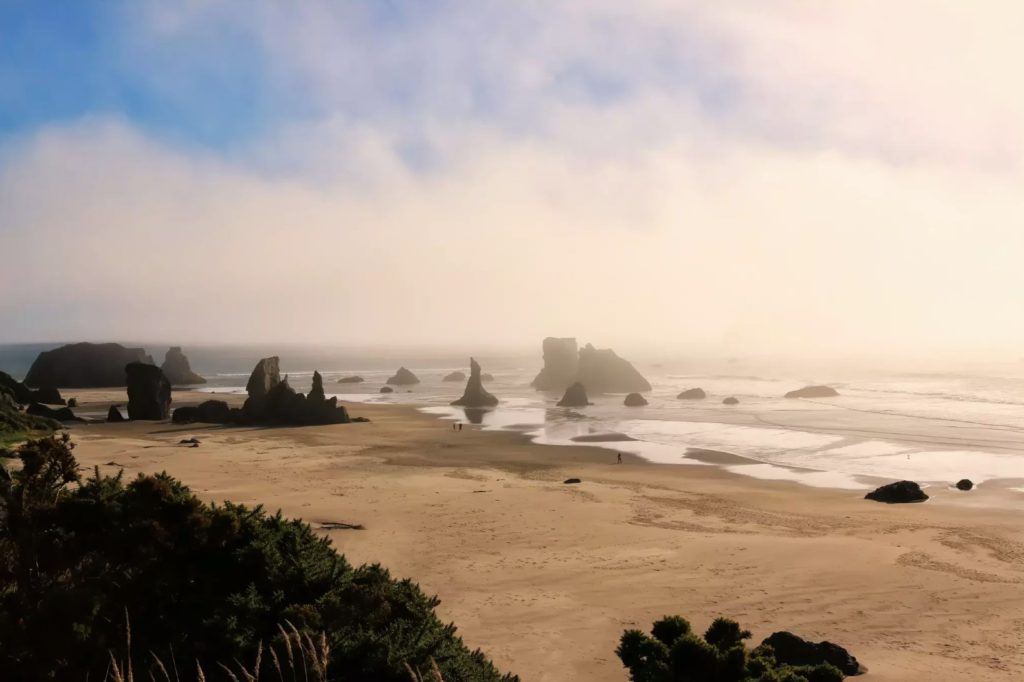
Foggy Bandon beach, Oregon. Credit: Frederik Tack (distributed via imaggeo.egu.eu).
Bandon Beach in Oregon is well-known for its memorable seascape of stacks of all shapes and sizes. These rock formations are known as ‘knockers’ and carry nicknames like ‘the Wizards hat’. They date from the Jurassic period and are what remains from the great mélange during tectonic subduction processes when different types of rock are exposed to the surface, and the softer sandstone and mudstone are eroded away.
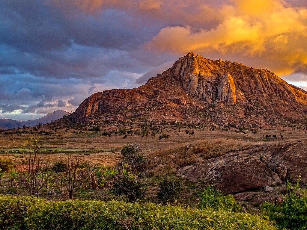
Cloudy sunset before the rain. Credit: Katleen Wils (distributed via imaggeo.egu.eu).
The September 2019 header image used for our social media channels. The photo was taken in the Anja Community Reserve in southern Madagascar, featuring a cloudy sunset before the rain.
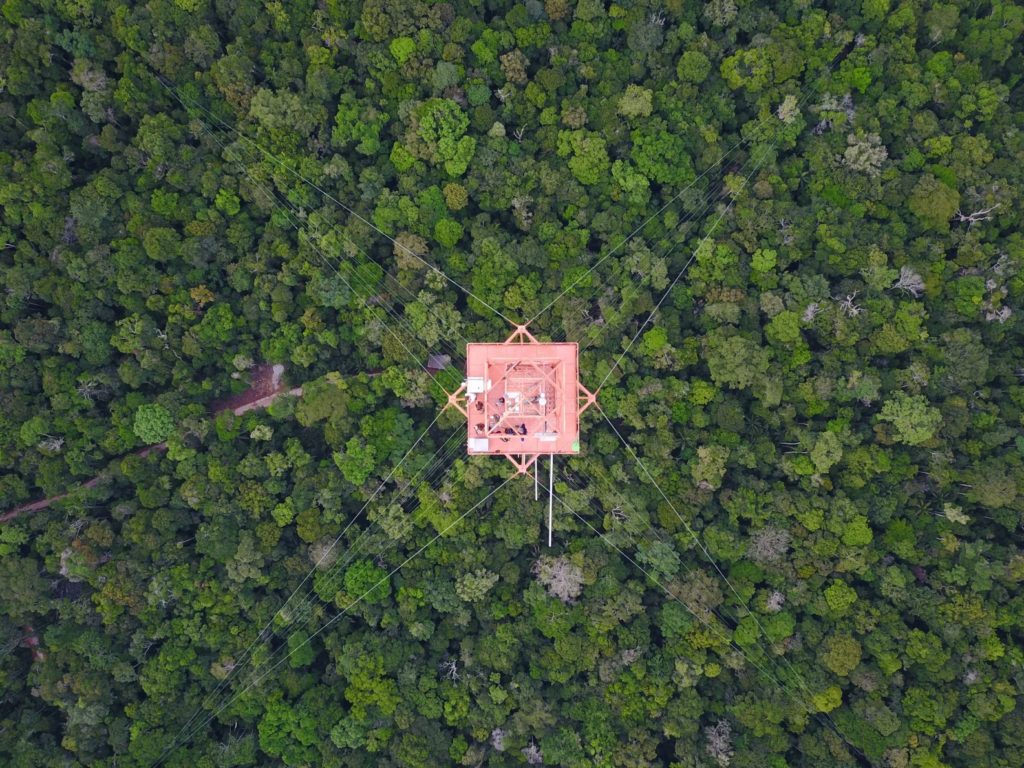
Science above the Amazon rainforest. Credit: Achim Edtbauer (distributed via imaggeo.egu.eu).
Built in a remote and pristine location, the Amazon Tall Tower Observatory tower is the tallest construction in South America. In a joint Brazilian-German project, atmospheric scientists aim to unravel the interaction of pristine rainforest with the atmosphere.
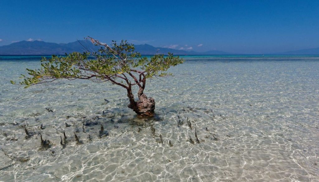
A solitary mangrove tree in Flores. Credit: Joern Behrens (distributed via imaggeo.egu.eu).
Pictured here is a solitary mangrove tree, rooted off the northern coast of the Indonesian island Flores. This blog post highlights how mangrove forests protect coastlines from erosion, storm surges, and tsunamis.
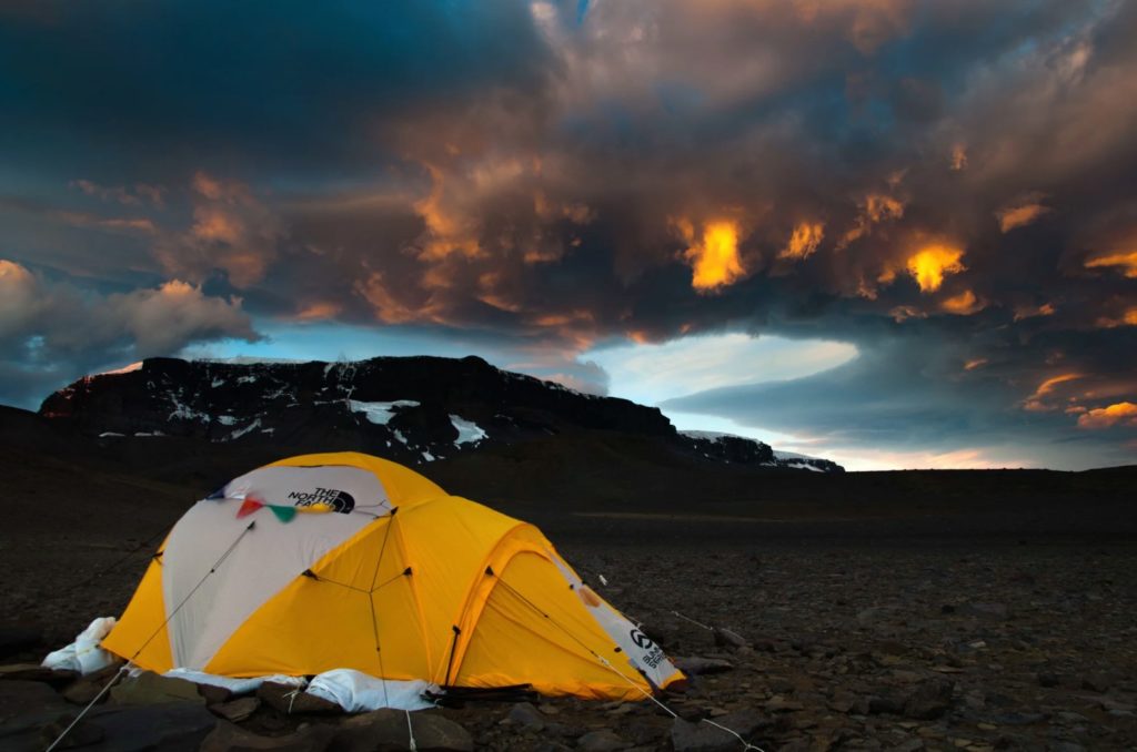
Sunset over Lachman Crags on James Ross Island, Antarctica. Credit: Carsten W. Mueller (distributed via imaggeo.egu.eu).
“This photo was taken in the northern Ulu Peninsula, which is the northernmost part of the relatively large James Ross Island and the largest ice-free area in the Antarctic Peninsula region. The island’s characteristic appearance is formed by Late Neogene volcanic rocks (3-7 million years old) over fossil rich Late Cretaceous sandstones (66-120 million years old),” says Carsten Müller in this blog post.
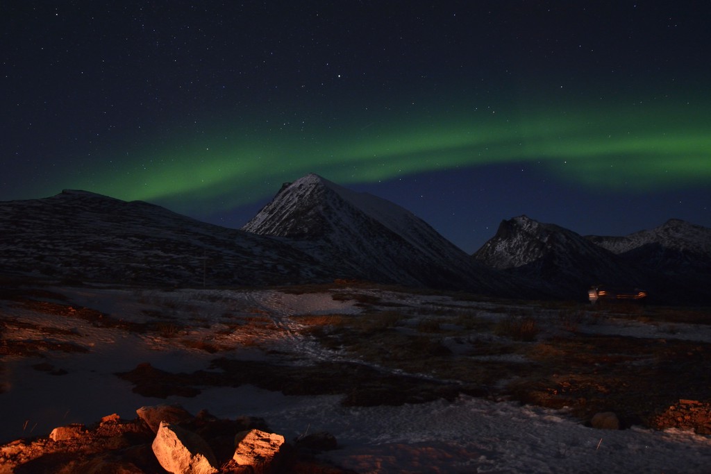
Norway Northern lights I. Credit: Giuseppe Murante (distributed via imaggeo.egu.eu).
This photo of the northern lights in Tromso, Norway was the October 2019 header image for our social media channels.
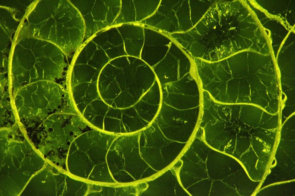
The beauty of shells. Credit: Rene Hoffmann (distributed via imaggeo.egu.eu).
“Ammonites are an extinct group of cephalopods that populated the oceans for more than 300 million years. Their carbonatic shells are often used to reconstruct palaeo-ocean seawater temperatures. Here you see a thin section under the fluorescence microscope,” Rene Hoffmann write on Imaggeo.
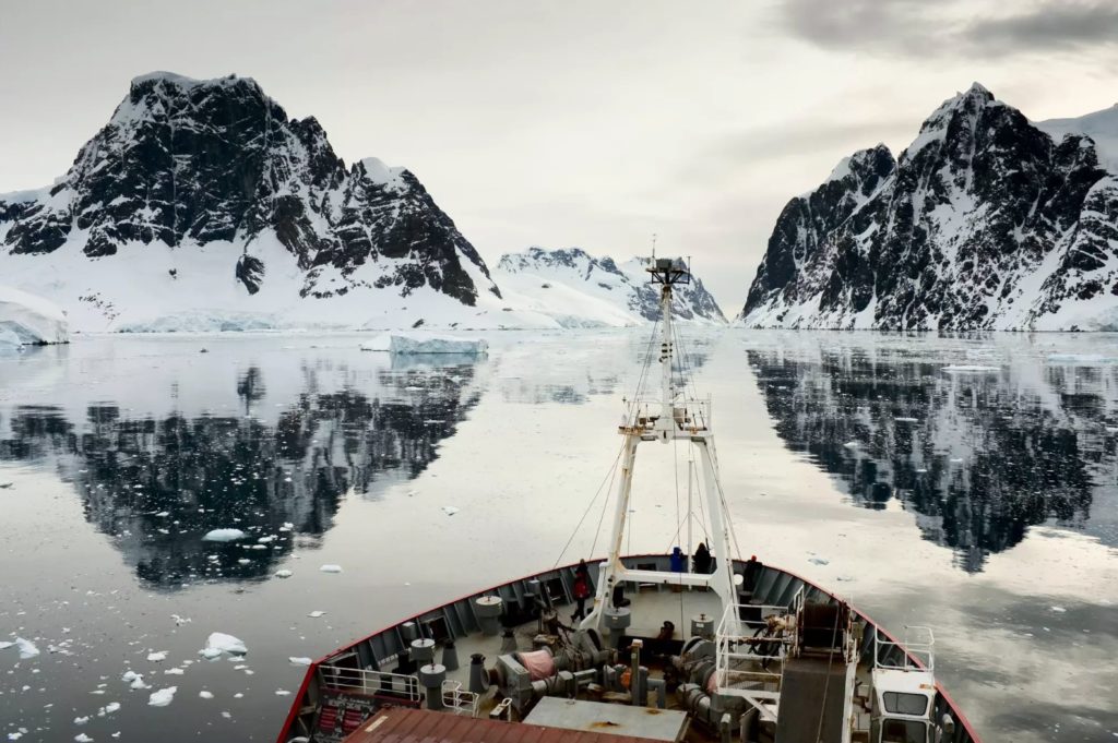
The sound of Silence. Credit: Ben Moat (distributed via imaggeo.egu.eu).
In this picture, the marine research vessel RRS James Clark Ross is making its way through the Lemaire Channel, a small passage off the coast of the Antarctic Peninsula, south of the southernmost tip of Chile. This blog post highlights research on how energetic and variable the ocean currents in this part of the world can be.
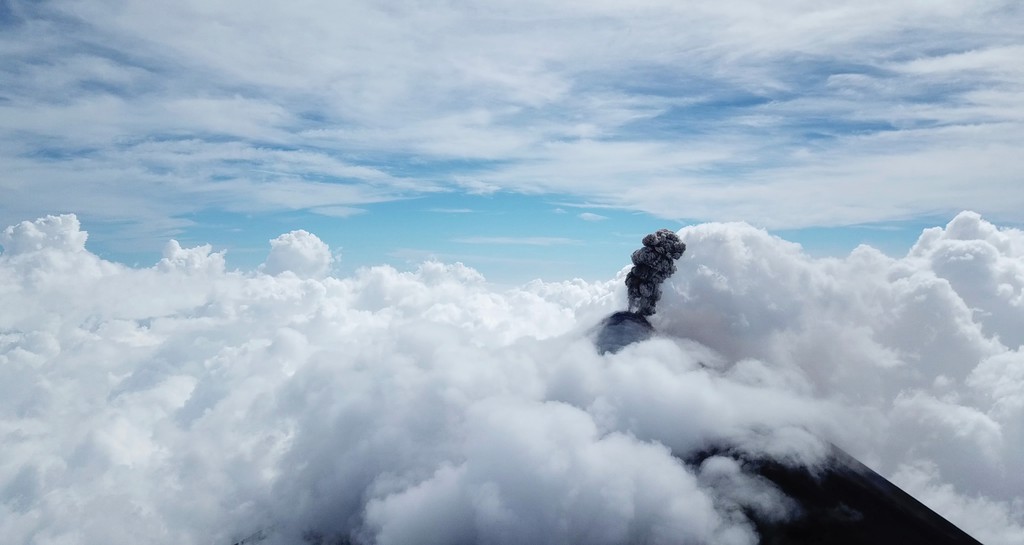
Fuego Eruption Plume Meets Cloud Bed. Credit: Rick Thomas (distributed via imaggeo.egu.eu).
The March 2019 header image used for our social media channels. The photo was taken on a field trip to the Fuego Volcano (Volcán de Fuego) in Guatemala. Aerosol and gas instruments were flown on drones into the erupting volcano’s ash plumes.
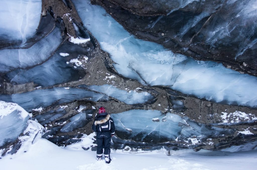
Up close and personal. Credit: Matt Trevers (distributed via imaggeo.egu.eu).
A University Centre in Svalbard (UNIS) Glaciology student examines the calving front of the Paulabreen glacier [in Spitsbergen, Svalbard], taking advantage of sea ice in the Rindersbukta fjord to safely approach the front. In this photo we see a mix of glacier ice, refrozen water ice and crevasses infilled with basal sediments, resulting in a beautiful and chaotic pattern of contrasting textures, twisted into place by the grinding force of the surge.
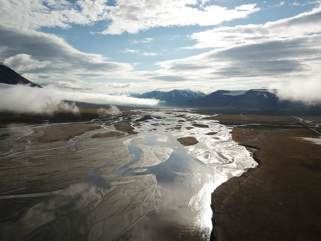
Braided Stream Svalbard. Credit: Eivind Straume (distributed via imaggeo.egu.eu).
The braided stream of the river Adventelva, close to Longyearbyen in the Norwegian archipelago of Svalbard. This photo was the September 2019 header image used for our social media channels.
If you pre-register for the 2020 General Assembly (Vienna, 3 – 8 May), you can take part in our annual photo competition! From 15 January up until 15 February, every participant pre-registered for the General Assembly can submit up three original photos and one moving image related to the Earth, planetary, and space sciences in competition for free registration to next year’s General Assembly! These can include fantastic field photos, a stunning shot of your favourite thin section, what you’ve captured out on holiday or under the electron microscope – if it’s geoscientific, it fits the bill. Find out more about how to take part at http://imaggeo.egu.eu/photo-contest/information/.

