GeoLog

climate

Imaggeo on Mondays: Our QUEST for innovative tools to understand changing environments and climates

Imaggeo on Mondays: Our QUEST for innovative tools to understand changing environments and climates

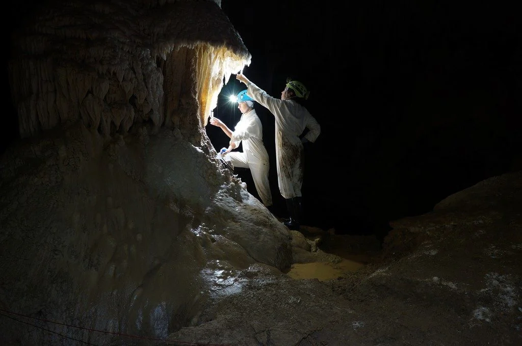
The photo shown here shows typical sampling work underground. You can see Ola Kwiecien and Cinthya Nava Fernandez, researchers at Ruhr University Bochum in Germany, collecting dripwater in New Zealand’s Waipuna Cave as part of a four-year EU-funded monitoring programme. Our research aims at developing innovative geochemical indicators that we can use to quantify changes …[Read More]

Imaggeo on Mondays: Sand and snow on the Tibetan Plateau

Imaggeo on Mondays: Sand and snow on the Tibetan Plateau

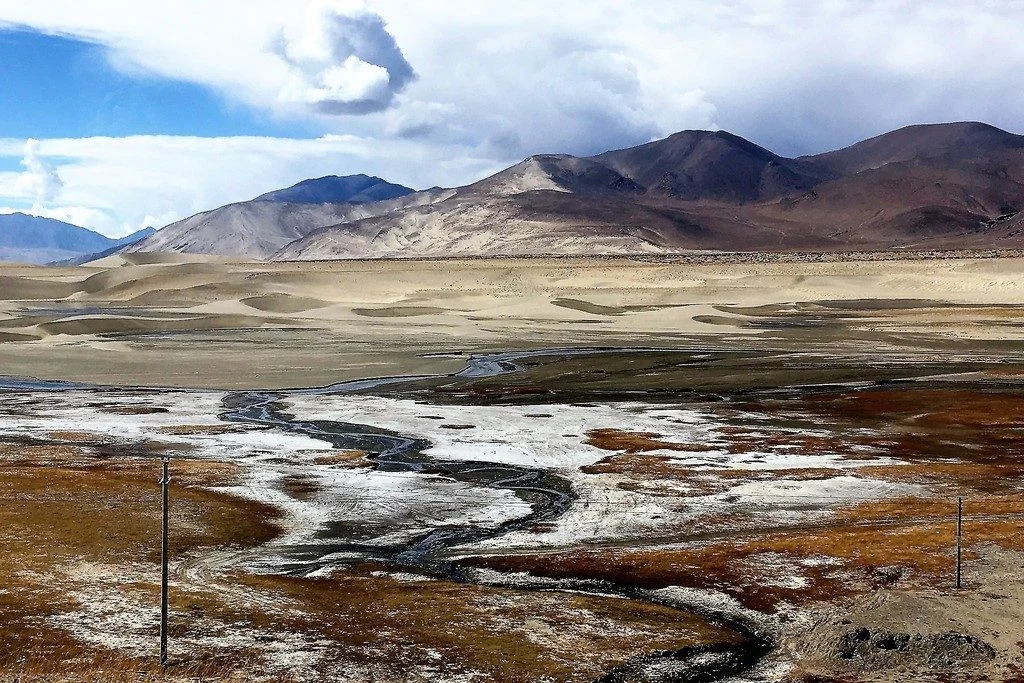
Roughly 50 million years ago, the Eurasian and Indian continental plates began to crash into each other, dramatically changing the landscape of modern-day Asia. The force of the collision caused the Earth to scrunch together at the zone of impact, subsequently forming the Himalayan mountain range. However, to the north of the crash, a stretch …[Read More]

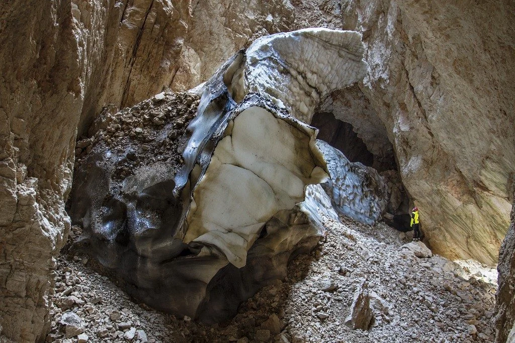
Imaggeo on Mondays: Exploring the underground cryosphere

Imaggeo on Mondays: Exploring the underground cryosphere

The winter season is a good time to take advantage of cold weather activities, whether that’s hitting the ski slopes or warming up by a fire, but for Renato R. Colucci, it’s also one of the best time’s to study the Earth’s underground cryosphere. Colucci, who took this featured photograph, is a researcher at Italian …[Read More]

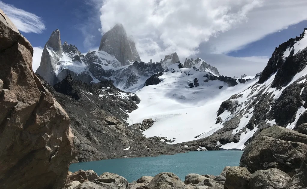
Imaggeo on Mondays: The changing landscape of Patagonia

Imaggeo on Mondays: The changing landscape of Patagonia

Pictured here is a snapshot of an environment in transition. Today’s featured photo was taken at the foot of Monte Fitz Roy, a jagged Patagonia mountain located in Los Glaciares National Park on the border between Argentina and Chile. The Patagonia region in South America is the second biggest source of glaciers in the southern …[Read More]