GeoLog

Regular Features

Imaggeo on Mondays: Colourful hydrovolcanism

Imaggeo on Mondays:  Colourful hydrovolcanism

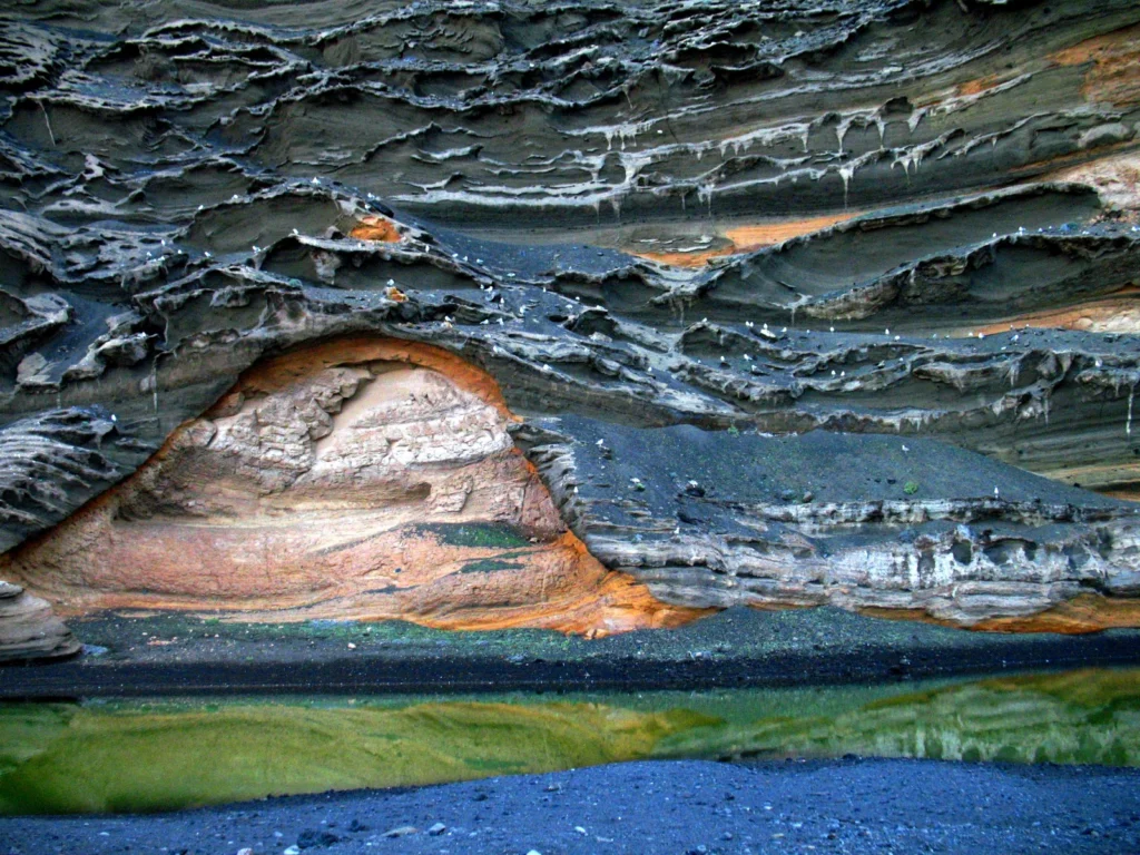
Like in a beautiful painting, layers of colour adorn the flanks of this volcano. In this week’s Imaggeo on Monday’s post, Stephanie Flude describes how these colourful layers came to be and gives an insight into why she became a geologist. What inspired you? Share your reasons for becoming a geoscientist with us in the comment section or via twitter using the hashtag #WhyGeo! “Why do you want to s ...[Read More]

Floods and droughts set to increase due to climate change

Floods and droughts set to increase due to climate change

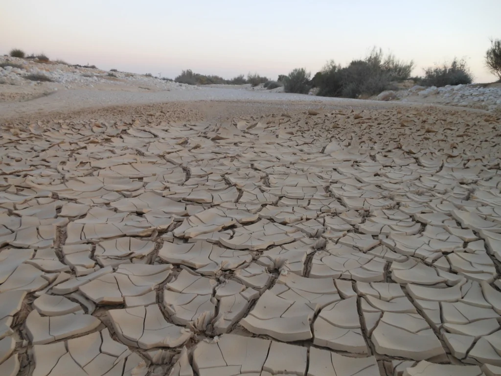
The planet is set to encounter a record-level amount of floods and droughts by 2050 – researchers recently announced at the European Geosciences Union’s General Assembly in Vienna. Nikita Marwaha shares their predictions on the impact that climate change will have on these extreme weather conditions. In a study by the Joint Research Centre (JRS) – the European Commission’s in-house science service ...[Read More]

Imaggeo on Mondays: Finger Rock

Finger

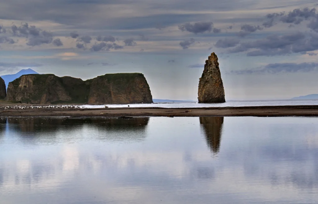
Standing proud amongst the calm waters of Golovnina Bay is ‘The Devil’s Finger’, a sea stack composed of volcanic sediments. Located on the Pacific coast of Kunashir Island -which is controlled by Russia but claimed by Japan – the stack is testament to the volcanic nature of the region. The island itself is formed of four active volcanoes which are joined together by low-lying geothermally active ...[Read More]

Imaggeo on Mondays: Earthquake Lake

Imaggeo on Mondays: Earthquake Lake

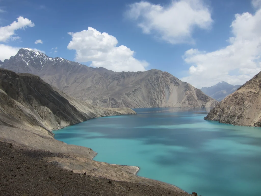
Despite its alluring turquoise waters and rugged mountain backdrop the story behind this beautiful lake is rather more troubling. In today’s Imaggeo on Mondays, the first post since our short break from the traditional format during the General Assembly, Alexander Osadchiev writes about the shaky origins of Sarez Lake. Lake Sarez is situated in Tajikistan, deep in the Pamir Mountains. In 1911 a lo ...[Read More]

Imaggeo on Mondays: Mirror Image

Imaggeo on Mondays: Mirror Image

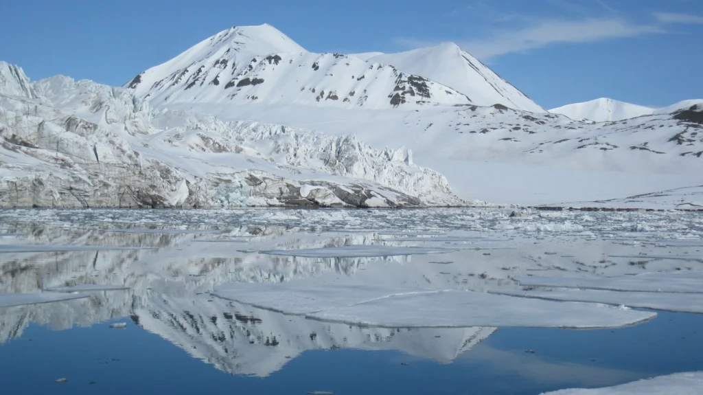
This week’s Imaggeo on Mondays image is brought to you by Fabien Darrouzet, who visited the icy landscapes of Svalbard back in 2012. Whilst the aim of his trip was not to better understand the geology of the landscapes, his eyes were very much focused on goings on up, up in the sky, it didn’t stop him taking this still of the snow covered peaks. This picture was taken in Svalbard (78° lat.) in Jun ...[Read More]

Imaggeo on Mondays: Drumlins Clew Bay

Imaggeo on Mondays: Drumlins Clew Bay

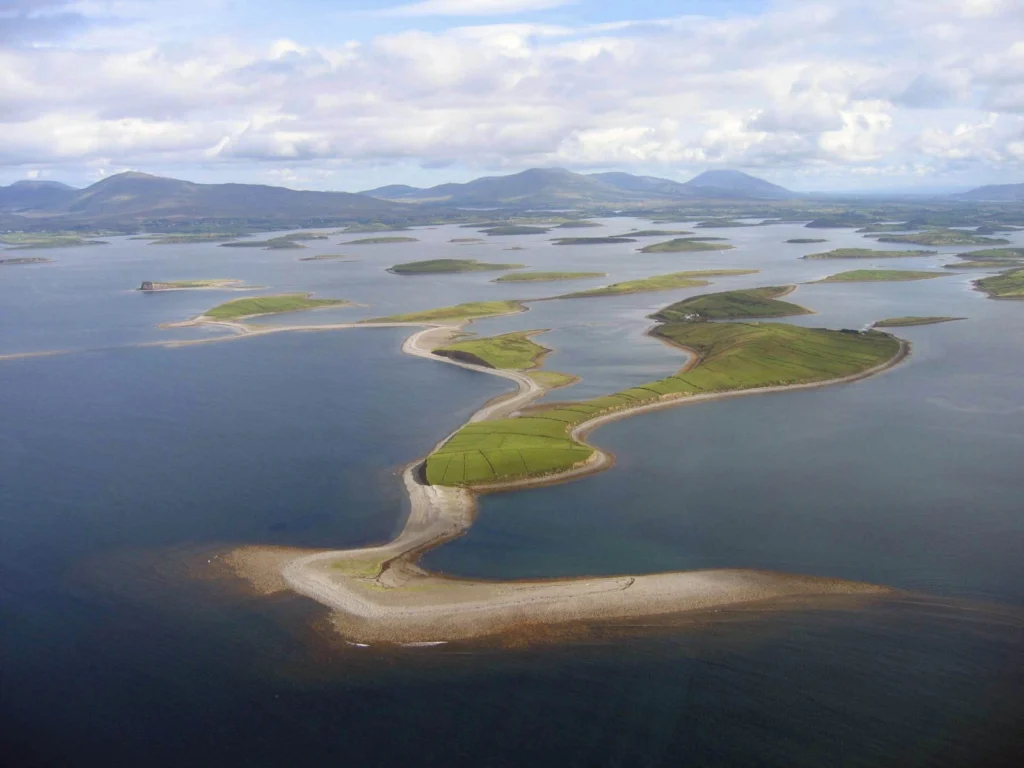
During ice ages landscapes are sculpted by the power of advancing glaciers. From rock scratches, to changing mountains and the formation of corries, cirques and aretes, through to the formation of valleys and fjords, the effects of past glaciations are evident across the northern hemisphere landscape. Perhaps not so familiar, drumlin fields are also vestiges of the erosive power of ancient ice she ...[Read More]

GeoEd: Lessons from the EGU 2014 GIFT Workshop

GeoEd: Lessons from the EGU 2014 GIFT Workshop

Today’s GeoEd post is brought to you by Susan Tate, an 8th grade teacher from Michigan in the USA. Susan attended the GIFT workshop held during the General Assembly last year.  The GIFT programme offers primary school to high school teachers the opportunity to upgrade their knowledge in geophysical themes and to shorten the time between new discoveries and textbook information. After three d ...[Read More]

Imaggeo on Mondays: Escullos

Imaggeo on Mondays: Escullos

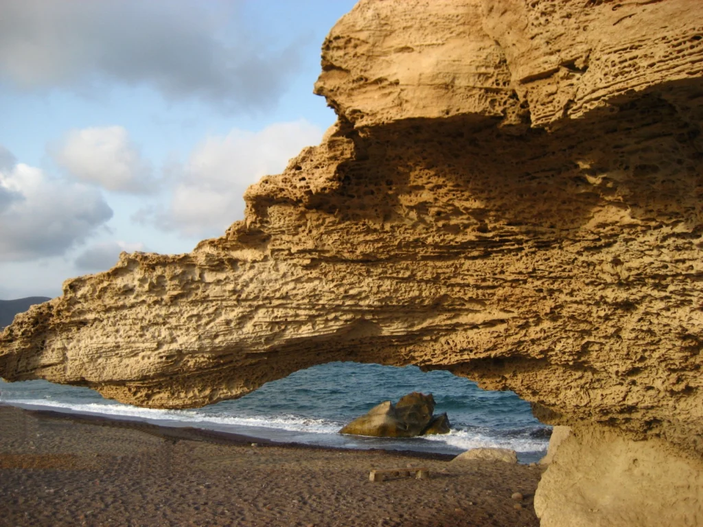
This picture shows a Quaternary aeolianite fossil dune at the Escullos beach, in the Nature Reserve of Cabo de Gata (Almeria, Spain). Originally a soft accumulation of sand grains, shaped by the wind into large mounds and ridges, the dunes eventually turn into rock. As the sediments compact under their own pressure and expel any moisture and fluids retained within them, they become lithified and b ...[Read More]

Imaggeo on Mondays: Retreating Glacier

Imaggeo on Mondays: Retreating Glacier

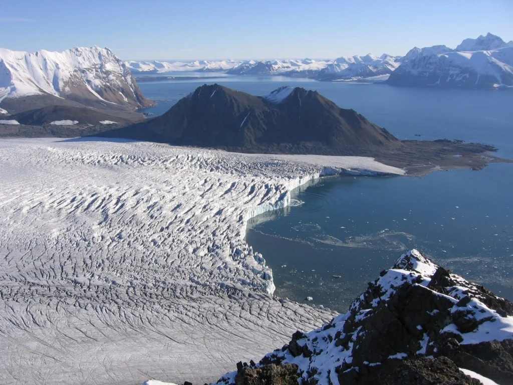
The Svalbard archipelago is considered to be one of the best places to study the geological history of the Earth because its rocks represent every geological period. This image shows a view from the peak of Fugleberget (569 m a. s. l.; 77º 00’ N, 15º 30’ E) on the south-western coast of the island of Spitsbergen. Glaciation of this geologically diverse area gave rise to a variety of geomorphic fea ...[Read More]

Imaggeo on Mondays: Pyroclastic flow, Montserrat

Imaggeo on Mondays:  Pyroclastic flow, Montserrat

Below the warm and tranquil waters of the Caribbean, some 480 km away from Puerto Rico, the North America Plate is being subducted under the Caribbean Plate. This has led to the formation of the Lesser Antilles volcanic arc; the result of the formation of reservoirs of magma as fluids from the down going North America Plate are mixed with the rocks of the overlying Caribbean Plate. The continued m ...[Read More]