GeoLog

Regular Features

Geosciences Column: Do roads mean landslides are more likely?
Geosciences Column: Do roads mean landslides are more likely?
Landslides have been in the news frequently over the past 12 months or so. It’s not surprising considering their devastating consequences and potential impact on nearby communities. Data collected by Dave Petley in his Landslide Blog shows that from January to July 2014 alone, there were 222 landslides that caused loss of life, resulting in …[Read More]

Imaggeo on Mondays: Artists’ Paint Pots

Imaggeo on Mondays: Artists’ Paint Pots

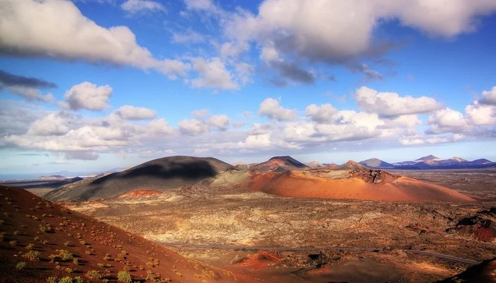
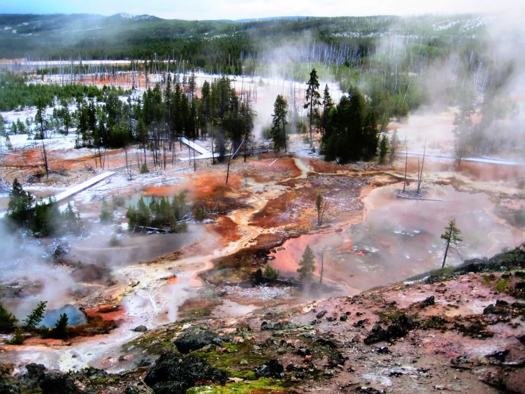
Many artists draw inspiration from nature and it’s not surprising when faced with landscapes which are as beautiful as the one featured in this week’s Imaggeo on Mondays post. Josep Miquel Ubalde Bauló writes about the origin of the colourful mud pots and bobby-socks trees! This picture corresponds to The Artist Paint Pots, found in …[Read More]

GeoEd: A risky business

GeoEd: A risky business

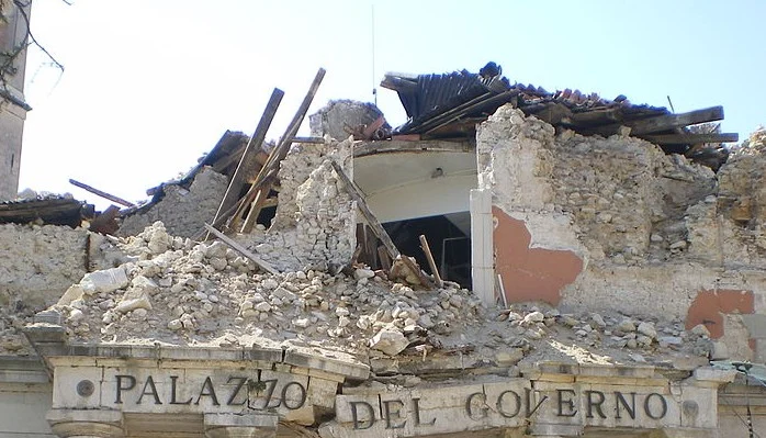
In this month’s GeoEd post, Sam Illingworth explores the pitfalls of being a scientist in the public eye. Following the recent acquittal of 6 geoscientists on manslaughter charges after ‘failing’ to predict the 2009 L’Aquila earthquake, is it time we thought about improving how risk is communicated to the wider public? At the beginning of …[Read More]

GeoTalk: Stacia Gordon

GeoTalk: Stacia Gordon

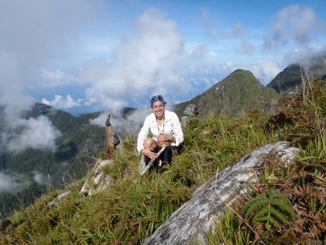
Geotalk is a regular feature highlighting early career researchers and their work. Following the EGU General Assembly, we spoke to Stacia Gordon, the winner of the Tectonics and Structural Geology Division Outstanding Young Scientist Award, 2014. First, could you introduce yourself and tell us a little more about your career path so far? My name …[Read More]

Imaggeo on Mondays: Iceberg at midnight

Imaggeo on Mondays: Iceberg at midnight

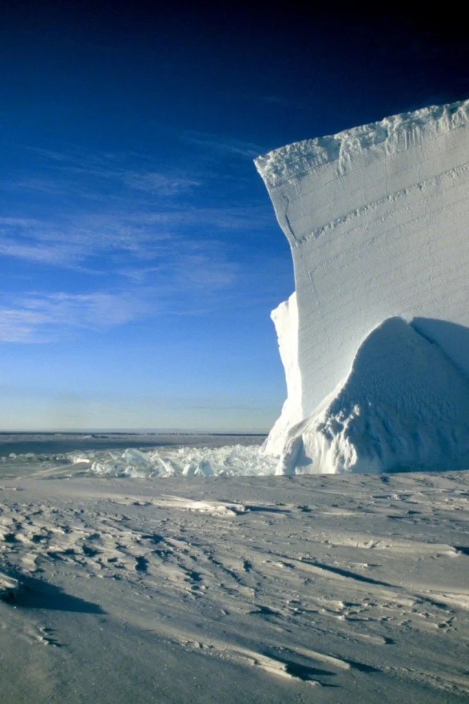
Standing on the vast expanse of gleaming white sea ice of the Atka Bay, Michael Bock took this stunning picture of an Antarctic iceberg. The days, during the Antarctic summer, are never ending. Despite capturing the image at midnight, Michael was treated to hazy sunlight. “Clearly visible [in the iceberg] are the annual snow accumulation …[Read More]

The best of Imaggeo in 2014: in pictures.

The best of Imaggeo in 2014: in pictures.

From the rifting of the African continent, to mighty waterfalls in Slovenia, through to a bird’s eye view of the Glarus Thurst in the Alps, images from Imaggeo, the EGU’s open access geosciences image repository, they have given us some stunning views of the geoscience of Planet Earth and beyond. In this post we have …[Read More]

Imaggeo on Mondays: Lusi from the sky with drones

Imaggeo on Mondays: Lusi from the sky with drones

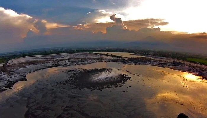
The picture shows a spectacular aerial view of a sunset over the Lusi mud eruption in East Java, Indonesia. Here thousands of cubic meters of mud, are spewed out every day from a 100 m sized central crater. Since the initial eruption of the volcano in 2006, following a 6.3 M earthquake, a surface of …[Read More]

Imaggeo on Mondays: Wadis in a war zone

Imaggeo on Mondays: Wadis in a war zone

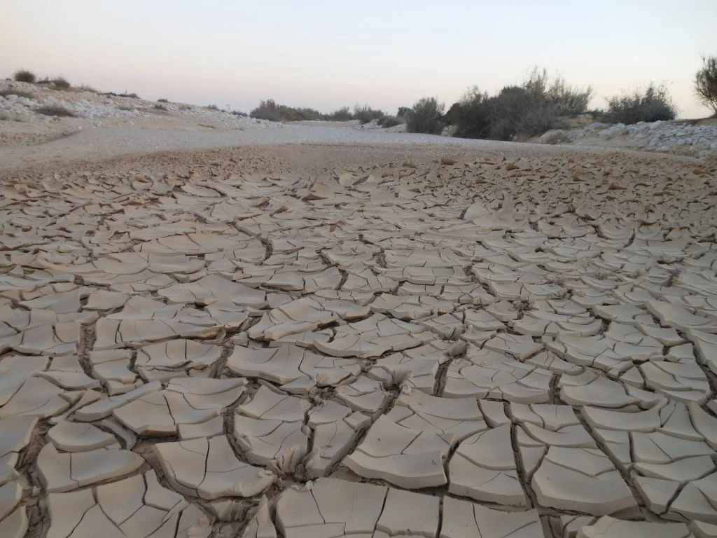
The range of challenges scientists face when carrying out Earth science research in the field are vast. However, the story behind Vincent Felde’s, a PhD candidate at Giessen University, image of the wadi, is truly remarkable and highlights how geoscientific research is not limited by borders or conflict. Wadi Nizzana (the Arabic term used to …[Read More]

Imaggeo on Mondays: A single beam in the dancing night lights

Imaggeo on Mondays: A single beam in the dancing night lights

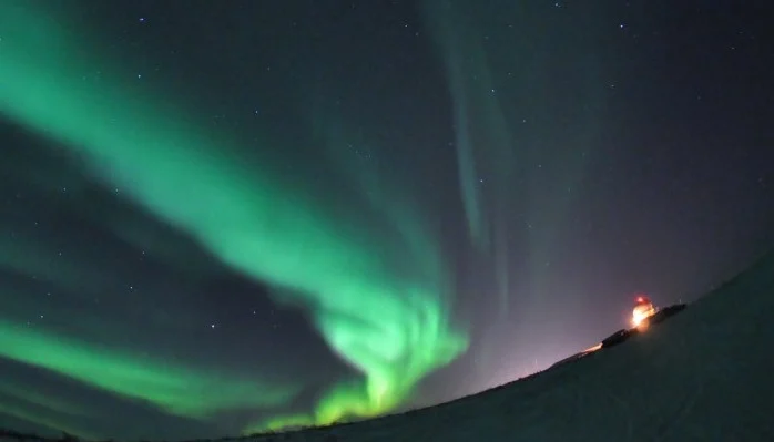
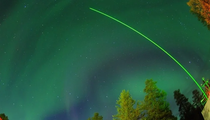
Research takes Earth scientists to the four corners of globe. So, if you happen to have a keen interest in photography and find yourself doing research at high latitudes, chances are you’ll get lucky and photograph the dancing night lights: aurora (or northern lights), arguably one of the planet’s most breath taking natural phenomenon. That …[Read More]