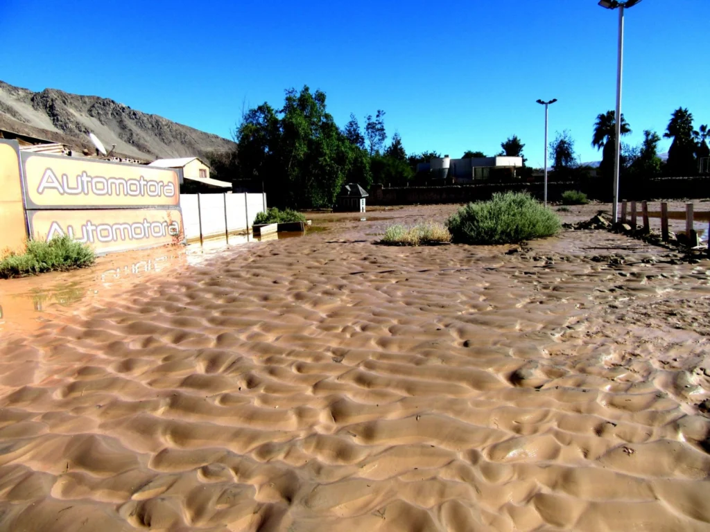
Despite being one of the driest regions on Earth, the Atacama desert is no stranger to catastrophic flood events. Today’s post highlights how the sands, clays and muds left behind once the flood waters recede can hold the key to understanding this natural hazard. During the severe rains that occurred between May 12 and 13, 2017 in the Atacama Region (Northern Chile) the usually dry Copiapó R ...[Read More]
Imaggeo on Mondays: Polar backbone (Arctic Ocean)
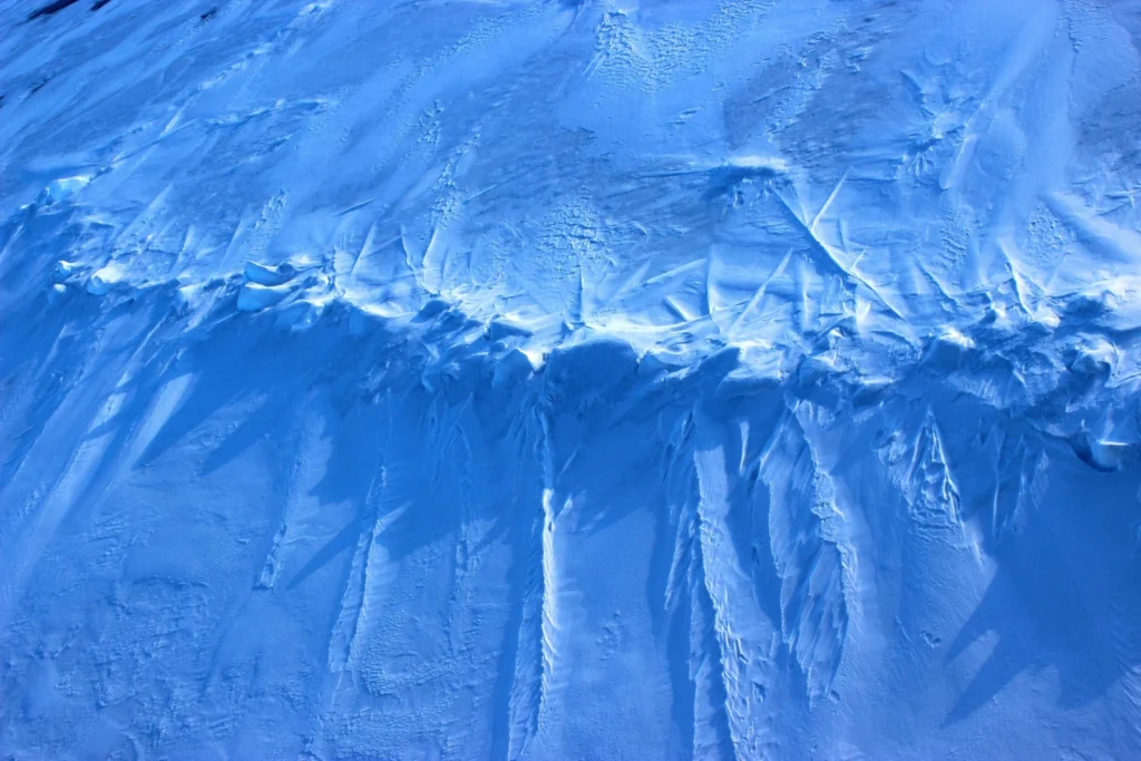
This image was taken during the Arctic Ocean 2016(AO16) expedition that ventured to the central regions of the Arctic Ocean, including the North Pole. It shows a pressure ridge, or ice ridge, as viewed from onboard the deck of the icebreaker Oden. It was quite striking that the ice ridge resembled an image of a spine – sea ice being a defining characteristic of the broader Arctic environment and b ...[Read More]
Imaggeo on Mondays: Sneaking up from above
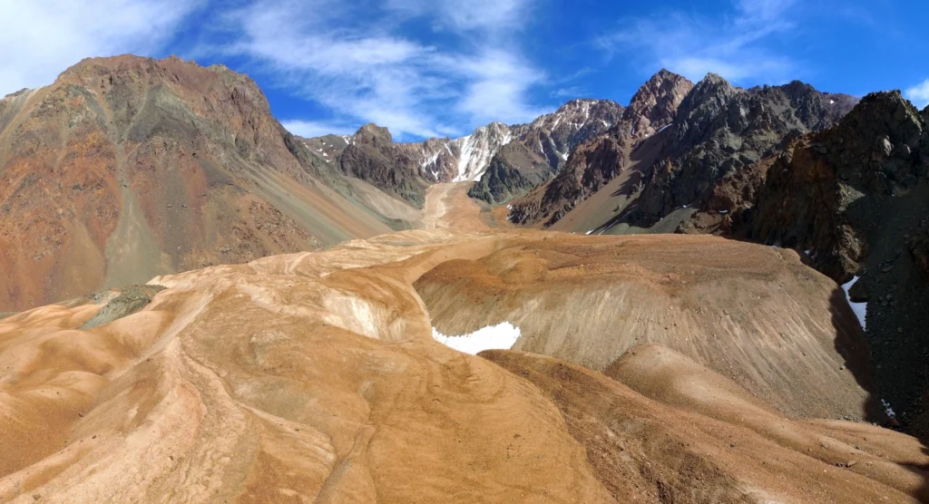
Take some ice, mix in some rock, snow and maybe a little mud and the result is a rock glacier. Unlike ice glaciers (the ones we are most familiar with), rock glaciers have very little ice at the surface. Looking at today’s featured image, you’d be forgiven for thinking the Morenas Coloradas rock glacier wasn’t a glacier at all. But appearances can be misleading; as Jan Blöthe (a researcher at the ...[Read More]
Imaggeo on Mondays: An epic ‘house’ move across the ice
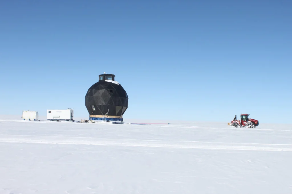
In 2008 the NEEM Deep Ice Core Project was initiated by 14 partner countries in Northwestern Greenland (camp position 77.45°N 51.06°W) with the aim to drill from the very top of the Greenland ice cap to its base; obtaining ice from as far back as the last interglacial period- the Eemian – some 130,000 years old. At the start of the 2008 field season, the NEEM camp consisted of a single hea ...[Read More]
Photo Contest finalists 2017 – who will you vote for?
The selection committee received over 300 photos for this year’s EGU Photo Contest, covering fields across the geosciences. The fantastic finalist photos are below and they are being exhibited in Hall X2 (basement, Brown Level) of the Austria Center Vienna – see for yourself! Do you have a favourite? Vote for it! There is a voting terminal (also in Hall X2), just next to the exhibit. The results w ...[Read More]
Imaggeo on Mondays: In the belly of the beast
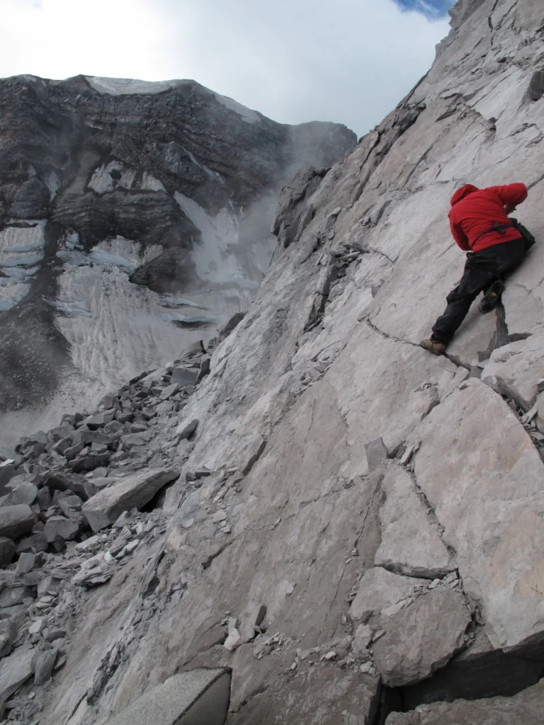
Conducting research inside a volcanic crater is a pretty amazing scientific opportunity, but calling that crater home for a week might just be a volcanologist’s dream come true, as Alexandra postdoctoral researcher at the Institut de Physique du Globe de Strasbourg, describes in this week’s Imaggeo on Mondays. This picture was taken from inside the crater of Mount St Helens, a stratovolcano ...[Read More]
Imaggeo on Mondays: Atmospheric gravity waves
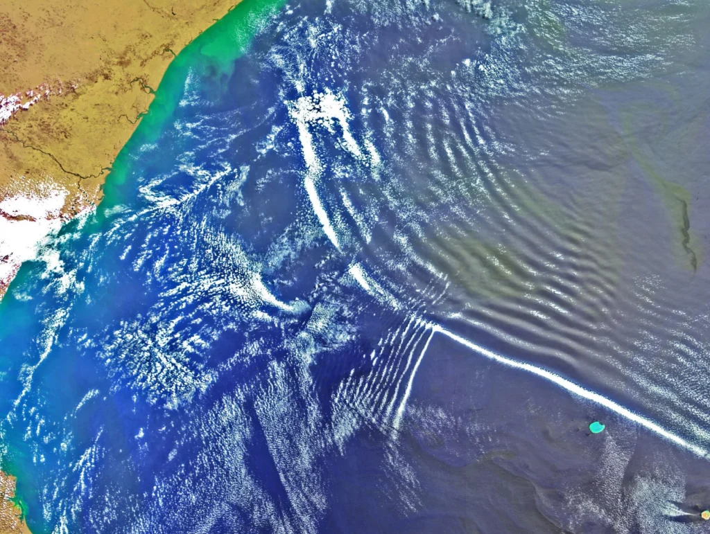
From the tiny vibrations which travel through air, allowing us to hear music, to the mighty waves which traverse oceans and the powerful oscillations which shake the ground back and forth during an earthquake, waves are an intrinsic part of the world around us. As particles vibrate repeatedly, they create an oscillation, which when accompanied by the transfer of energy, creates a wave. The way in ...[Read More]
Imaggeo On Mondays: Halo
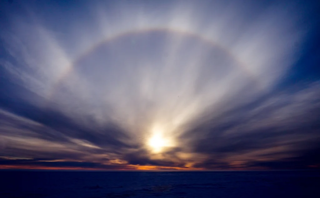
One of the main perks of being a geoscientist is that, often, research takes scientists all around the globe to conduct their work. While fieldwork can be hard and challenging it also offers the opportunity to see stunning landscapes and experiencing unusual phenomenon. Aboard the Akademik Tryoshnikov research vessel, while cruising the Kara Sea (part of the Arctic Ocean north of Siberia) Tatiana ...[Read More]
Imaggeo on Mondays: Erosion
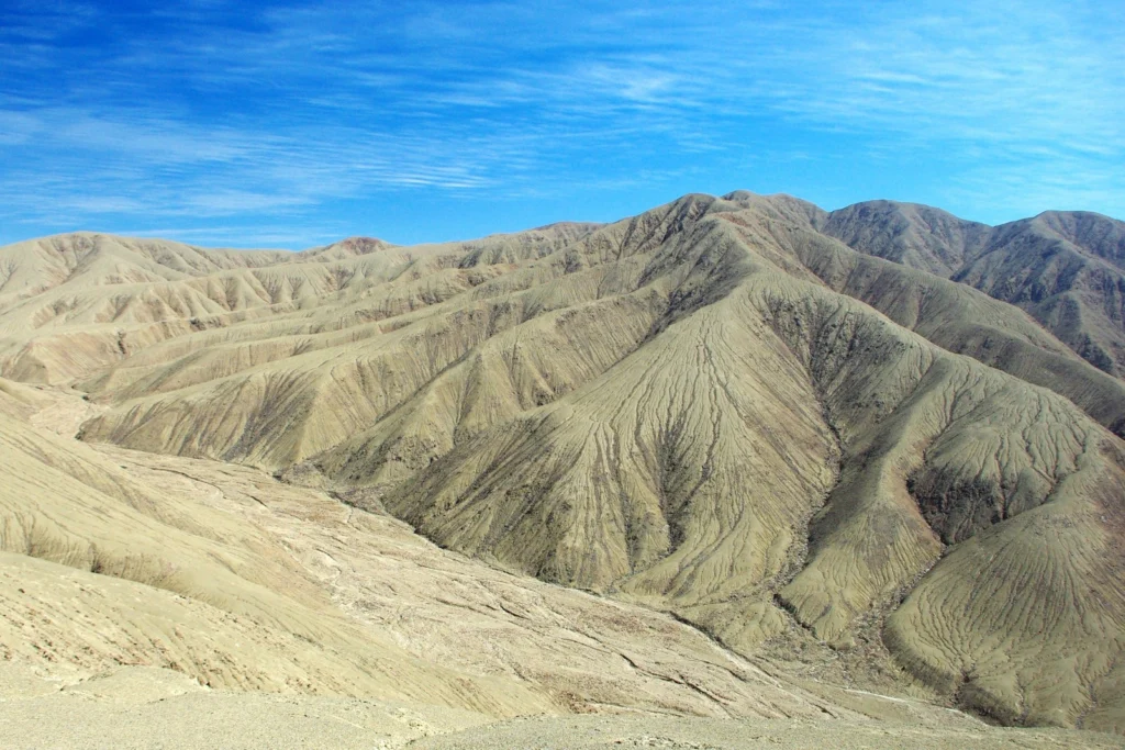
In mountainous regions precipitation – be that in the form of rain, hail or snow, for example – drives erosion, which means it plays an important part in shaping the way the landscape looks. Precipitation can directly wear away at hillsides and creates streams and rivers, which leave their mark on the scenery by cutting and calving their way through it. Take for instance the hills in the arid coas ...[Read More]
Imaggeo on Mondays: Lava highway in Kanaga Island
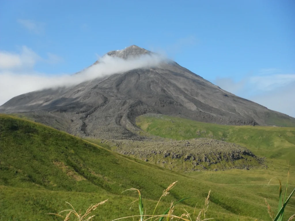
On a rare sunny day, Mattia Pistone (a researcher at the Smithsonian Institution in Washington DC) was able to capture this spectacular shot of Kanaga, a stratovolcano in the remote Western Aleutians, which is usually veiled by thick cloud. The Western Aleutians form a chain of 14 large and 55 small volcanic islands, belonging to one of the most extended volcanic archipelagos on Earth (1900 km), s ...[Read More]