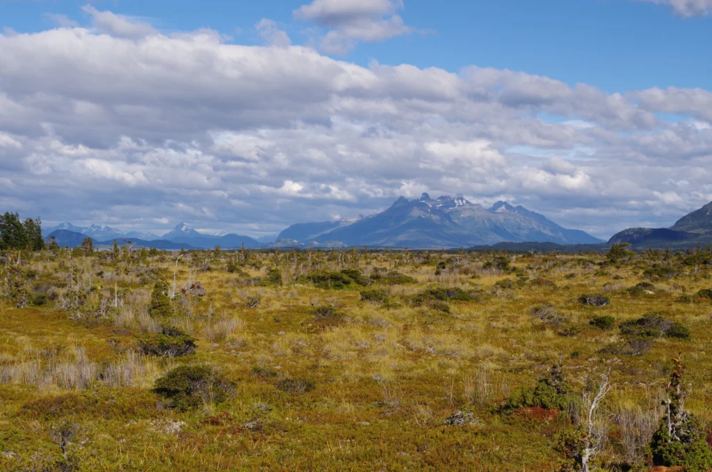
Patagonia, the region in southernmost tip of South America, is as diverse as it is vast. Divided by the Andes, the arid steppes, grasslands and deserts of Argentina give way to the temperate rainforests, fjords and glaciers of Chile. Also on the Chilean side are rolling hills and valleys of marshy topography: Patagonia’s bogs. Today, Klaus-Holger Knorr, a researcher at the University of Münster’s ...[Read More]
Imaggeo on Mondays: Measuring the wind direction
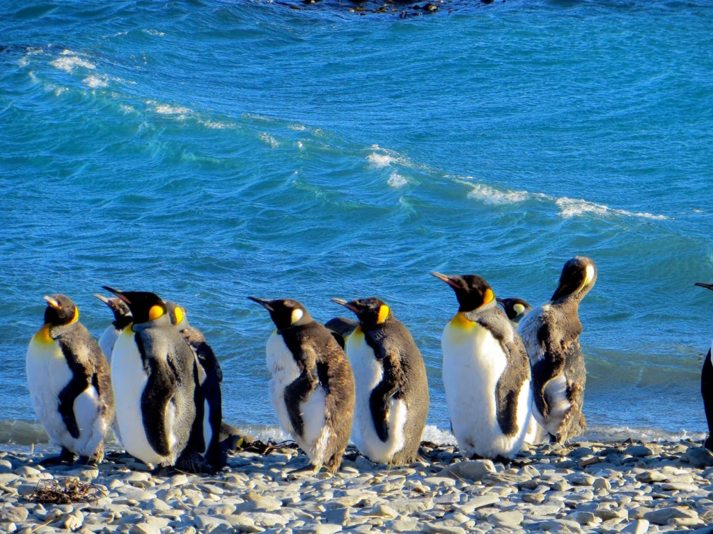
Remote, rugged, raw and beautiful beyond measure, the island of South Georgia rises from the wild waters of the South Atlantic, 1300 km south east of the Falkland Islands. The Allardyce Range rises imposingly, south of Cumberland Bay, dominating the central part of the island. At its highest, it towers 2935 m (Mount Paget) above the surrounding landscape. In the region of 150 glaciers carve their ...[Read More]
Imaggeo on Mondays: Isolated atoll
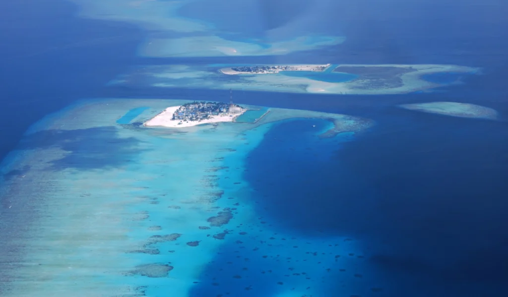
Covering a total area of 298 km², the idylic natural atolls and reefs of the Maldives stretch across the Indian Ocean. The tropical nation is famous for it’s crystal clear waters and picture perfect white sand beaches, but how did the 26 ring-shaped atolls and over 1000 coral islands form? Coral reefs commonly form immediately around an island, creating a fringe which projects seawards from the sh ...[Read More]
Imaggeo on Mondays: What happens to mines when they become redundant?
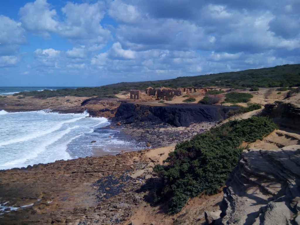
When the minerals run out, or it is no longer profitable to extract the resources, mines shut down. Prior to issuing a permit for the exploitation of a resource, most regulators require assurance that once the mine closes it, or the activities carried out at the site, will not present a risk to human health or the environment. Ongoing monitoring of a mine once it is decommissioned is required to e ...[Read More]
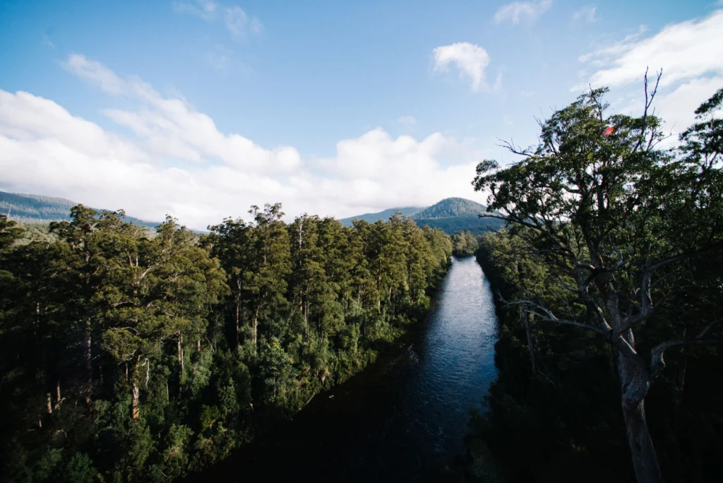
Imaggeo on Mondays: A prehistoric forest
This stunning vista encompasses the south-western wilderness of Tasmania as seen from the Tahune air walk 60 m above the Huon river valley. In front lies the beginning of a huge UNESCO World Heritage Site, covering almost a fourth of the area of Tasmania. The site mostly consists of a pristine, temperate rainforest of Gondwanan origin that is home to the tallest flowering trees in the world; Eucal ...[Read More]
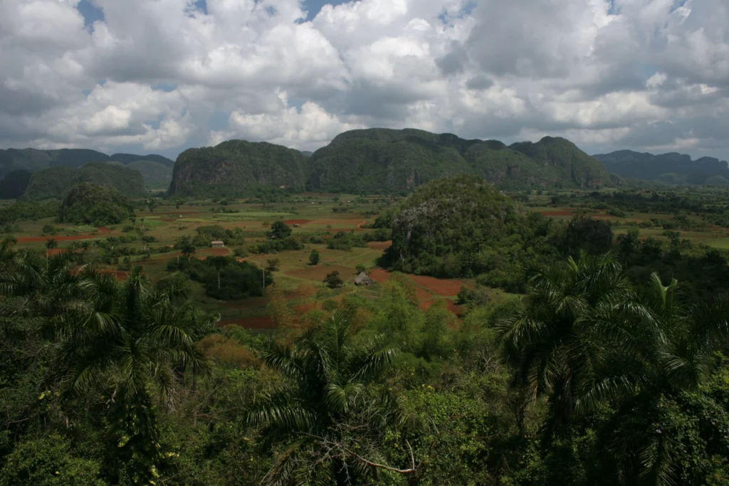
Imaggeo on Mondays: Viñales Valley
From last week’s unusual desert landscape to this week’s lush valley in Cuba… The picture shows the Vinales Valley, a karstic depression with mogotes in western Cuba. Karst is the general term for landscapes formed when limestone is disolved by carbonic acid, in rain water. This leads, in particular, to the formation of an underground network of caves and rivers. In the tropics, ...[Read More]
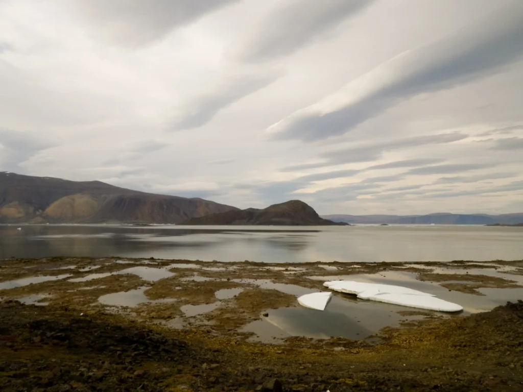
Imaggeo on Mondays: Low tide at Alexandra Fjord
Today’s post takes us to the far northern reaches of our planet, to a desert like nothing you’ve seen before. This picture is a view to the north across Alexandra Fjord, on the east coast of Ellesmere Island, in the Canadian High Arctic, with Sphynx island in the middle of the fjord. The south shore of Alexandra Fjord includes a polar oasis, an area of tundra vegetation and relatively mild climati ...[Read More]
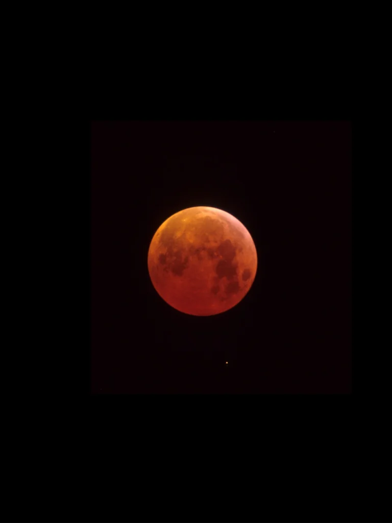
Imaggeo on Mondays: A total eclipse of the Moon
Today, all eyes are turned to the sky; at least in North America, where the region will be treated to an eclipse of the sun. The online hype is hard to miss and its hardly surprising, opportunities to see the moon completely cover the Sun, where you are, are rare*. According to NASA, the same spot on Earth only gets to see a solar eclipse for a few minutes about every 375 years! If like us, you ca ...[Read More]
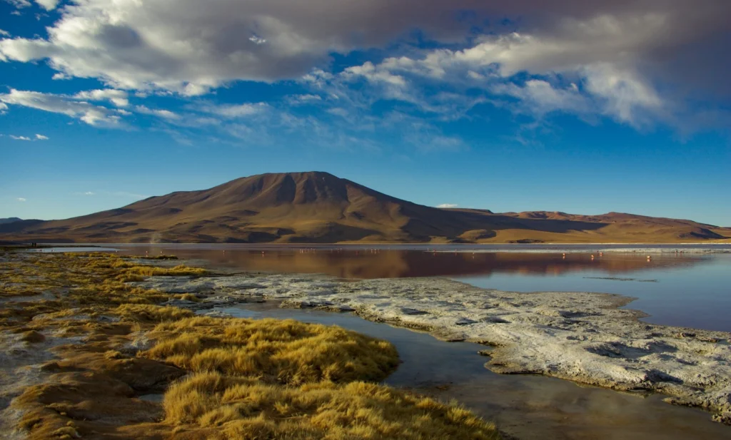
Imaggeo on Mondays: The wonderful home of pink flamingos
This stunning photograph is another of the fabulous finalists of the 2017 imaggeo photo contest. Imaggeo is the EGU’s open access image repository. It’s a great place to showcase your photographs; so whether you are stuck in the lab this summer, frantically typing away at a paper, or are lucky enough to be in the field, be sure to submit your photographs for all EGU members to see. You never know, ...[Read More]
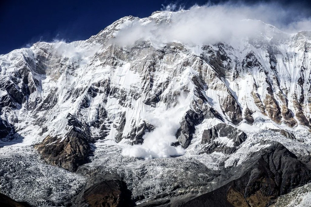
Imaggeo on Mondays: A dramatic avalanche from Annapurna South
The Annapurna massif is located in an imposing 55 km long collection of peaks in the Himalayas, which behave as a single structural block. Composed of one peak (Annapurna I Main) in excess of 8000 m, a further thirteen peaks over 7000 m and sixteen more of over 6000 m, the massif forms a striking structure within the Himalayas. Annapurna South (pictured in today’s featured image), the 101st talles ...[Read More]