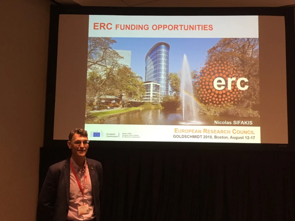
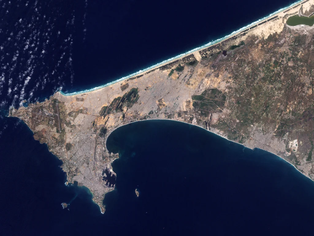
The European Seconded National Expert programme is a fantastic opportunity for scientists who are currently working in a national, regional or local public administration of an EU member state or an intergovernmental organisation to gain experience working within a European policy institution. In most cases, secondments are between six months and four years during which time the Seconded National ...[Read More]
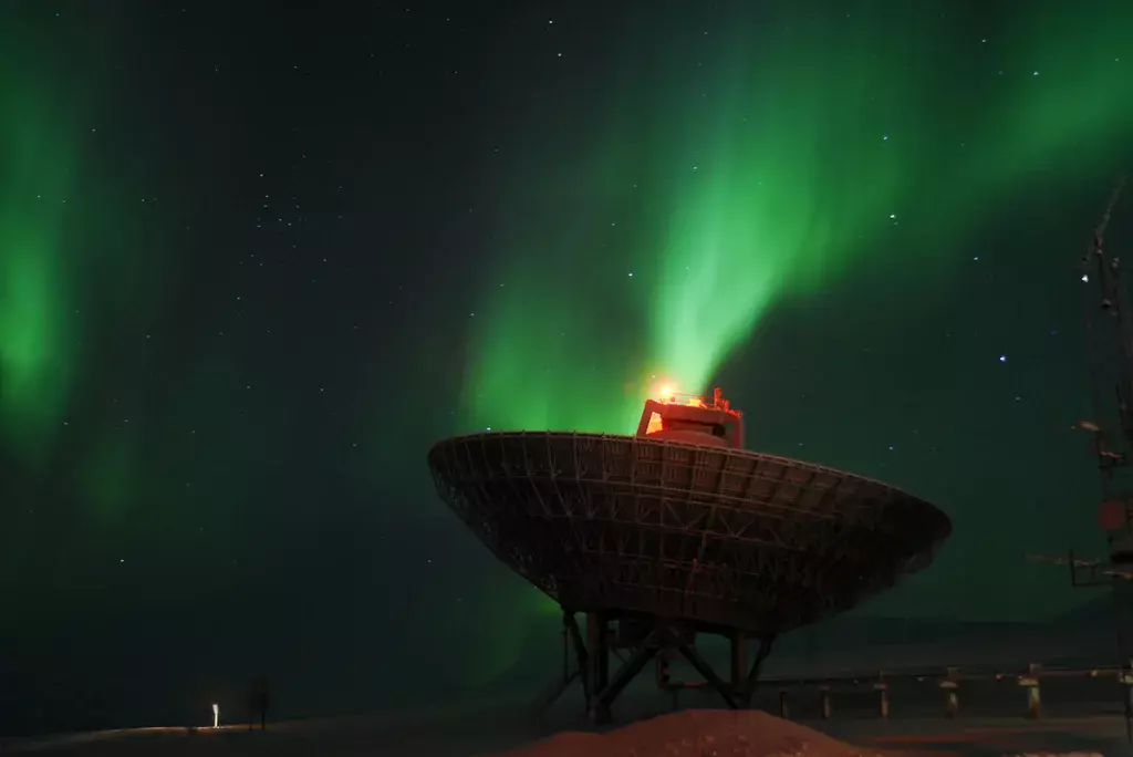
Imaggeo on Mondays: The Tempest
Measuring the aurora. This picture was taken while doing an optical/radar coordinated campaign in Svalbard, Norway, near the settlement of Longyearbyen. In this campaign, we were measuring for the first time the polarisation of the auroral ‘red line’ of atomic oxygen with a photopolarimeter and were running the radars in order to have a better understanding of the state of the ionosphe ...[Read More]
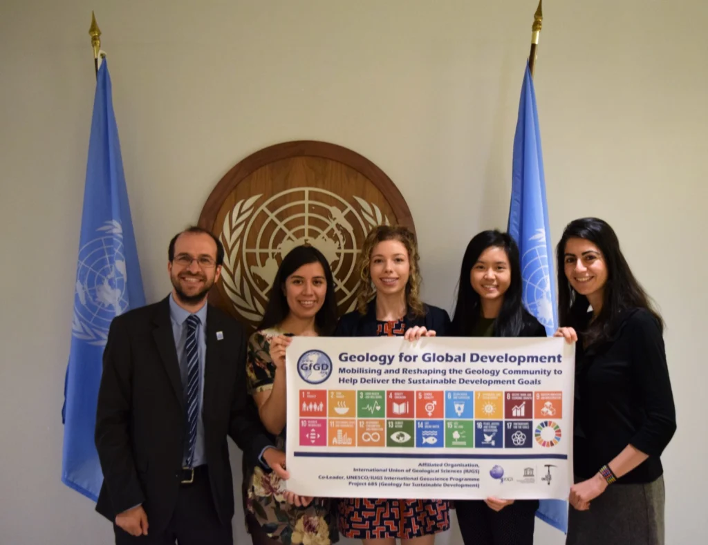
GeoTalk: Joel Gill discusses the UN’s Sustainable Development Goals and the ‘Decade of Action’
Geotalk is a regular feature highlighting early career researchers and their work. In this interview we speak with Joel Gill who a geoscientist, based in the UK, who works at the British Geological Survey, supporting their international development programmes, whilst also researching multi-hazards and disaster risk reduction. In addition he leads a not-for-profit organisation, Geology for Global D ...[Read More]
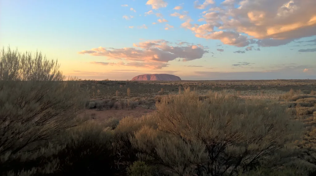
Imaggeo on Mondays: The sun rises also in the middle of nowhere
Uluru in Australia is one of the most visibly recognisable geological features in the world. This sandstone formation covers an area of 3.3 kilometres and stands 345 metres above the plains around it. According to geoscientists, the rocks that form Uluru were deposited in an inland sea during the Cambrian Period approximately 500 million years ago. The arkose sandstones were then uplifted and fold ...[Read More]
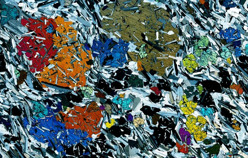
Imaggeo on Mondays: Cooking crystals in the Earth cauldron
This picture shows a 30 micrometer thick rock section of a gabbro from the Rum Layered Intrusion (Scotland). Large clinopyroxene crystals are enclosed in a foliated fine grained groundmass of plagioclase and olivine. The clinopyroxene core crystallized at an early stage, at 1160°C. They were partly molten at 1200°C during successive hot magma injections and subsequently recrystallized, enclosing h ...[Read More]
Inclusive flood mapping: using citizen science to collect historical flood data in Dakar, Senegal.
During the month of February, we are focusing on ‘Accessibility and Inclusivity’ here at the EGU. Although these topics are clearly relevant to the General Assembly, some people may wonder whether they also relate to scientific research. Clearly all geoscientists are people, so accessibility and inclusivity matter regardless of what scientific discipline they are in. But there can also be tangible ...[Read More]
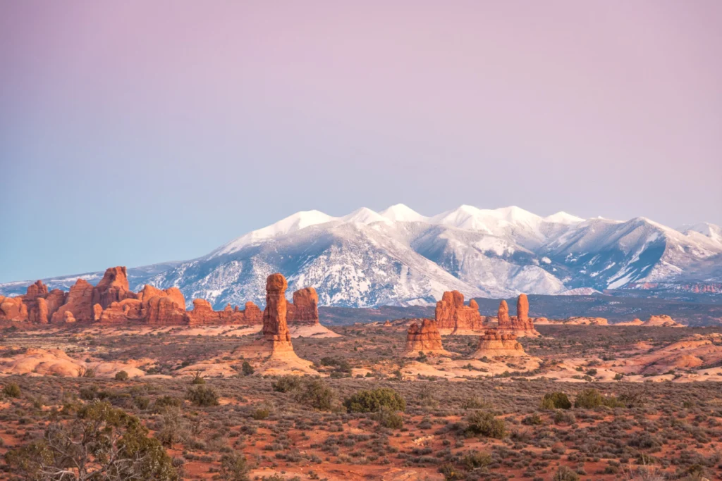
Imaggeo On Mondays: Contrasting Colors of Pinnacles and Mountains
Despite its rugged appearance of sandstone pinnacles and arches, the ecosystem of Arches National Park in Utah, U.S.A. is very fragile. Beyond the normal ‘high desert’ environment, this beautiful landscape is home to microbial communities in the soil called cryptobiotic crusts. These biological soil crusts are very vulnerable to damage and when harmed they can take years to grow back. These barren ...[Read More]
Imaggeo On Mondays: Contrasted island in the Mozambic Canal
Mayotte, the so-called “perfume island”, is a volcanic island of the Comoros Archipelago and a French overseas department which hit the headlines in 2018-2019 with an enigmatic as well as frightening seismic swarm, recently linked to the appearance of a new submarine volcano nearby. Surrounded by one of the largest lagoons in the World and sprinkled with small islands, Mayotte only rea ...[Read More]
GeoTalk: A biogeocaching scavenger hunt for Earth science outreach
Did you know that the EGU has a public engagement grant scheme? We’ll be awarding three EGU members with 1500€ to help them develop an outreach project that aims to raise awareness of geosciences outside the scientific community. The 2020 call for applications is currently open. In this GeoTalk interview, Olivia Trani talks to Astrid Harjung, Laura Coulson, Romana Hödl and Katrin Attermeyer, resea ...[Read More]
Imaggeo on Mondays: Santorini cliffs sculpted by wind and sea
The cliffs look like a bas-relief sculpted by a tireless artist. Naturally carved by the wind and sea, Vlychada’s white cliffs border its black sands, on the southern shore of Thera (Santorini), Greece. Both are of volcanic origin. The material originates from the Late Bronze Age eruption around 1600 BCE, which also buried the prosperous Akrotiri settlement. This massive Plinian eruption led to th ...[Read More]