GeoLog

Natural Hazards

Imaggeo on Mondays: Earthquake Lake
Imaggeo on Mondays: Earthquake Lake
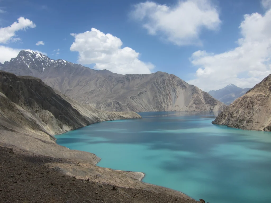
Despite its alluring turquoise waters and rugged mountain backdrop the story behind this beautiful lake is rather more troubling. In today’s Imaggeo on Mondays, the first post since our short break from the traditional format during the General Assembly, Alexander Osadchiev writes about the shaky origins of Sarez Lake. Lake Sarez is situated in Tajikistan, deep in the Pamir Mountains. In 1911 a lo ...[Read More]

Communicate your Science Video Competition finalists: time to get voting!

Communicate your Science Video Competition finalists: time to get voting!

For the second year in a row we’re running the EGU Communicate Your Science Video Competition – the aim being for young scientists to communicate their research in a short, sweet and public-friendly video. Our judges have now selected 3 fantastic finalists from the excellent entries we received this year and it’s time to find the best geoscience communication clip! The shortlisted videos will be o ...[Read More]

Imaggeo on Mondays: Pyroclastic flow, Montserrat

Imaggeo on Mondays:  Pyroclastic flow, Montserrat

Below the warm and tranquil waters of the Caribbean, some 480 km away from Puerto Rico, the North America Plate is being subducted under the Caribbean Plate. This has led to the formation of the Lesser Antilles volcanic arc; the result of the formation of reservoirs of magma as fluids from the down going North America Plate are mixed with the rocks of the overlying Caribbean Plate. The continued m ...[Read More]

Imaggeo on Mondays: An explosive cloud

Imaggeo on Mondays: An explosive cloud

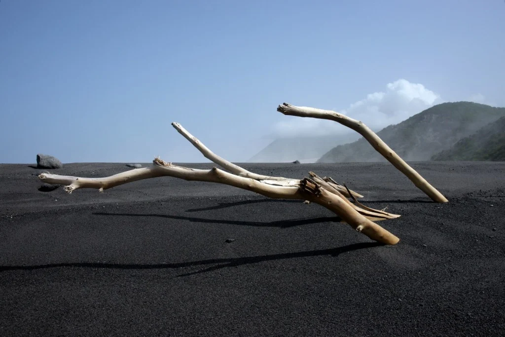
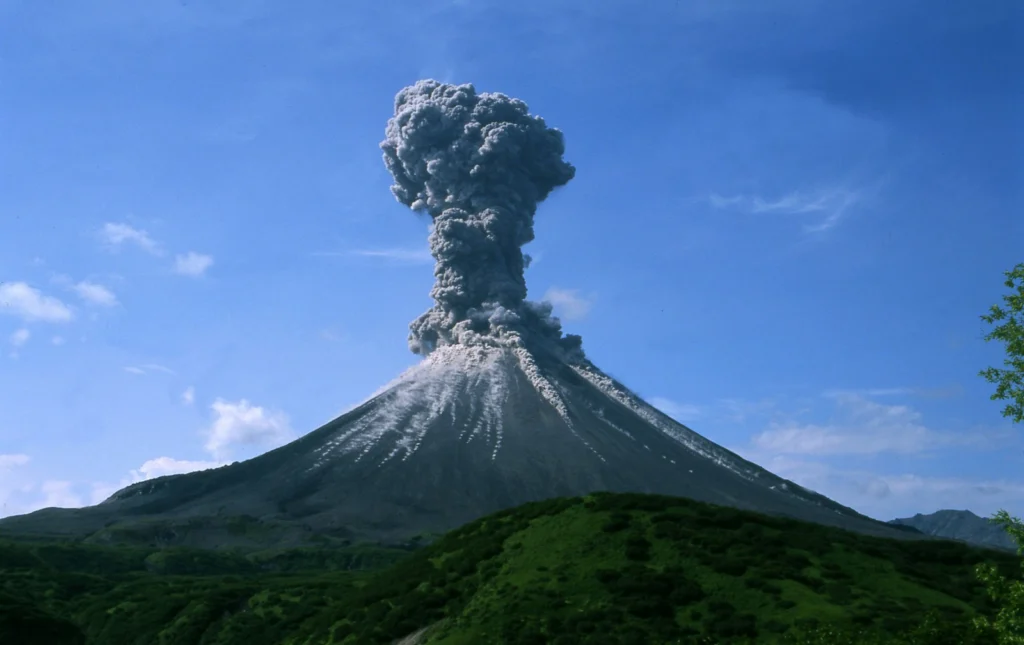
One of the world’s most volcanically active regions is the Kamchatka Peninsula in eastern Russia. It is the subduction of the Pacific Plate under the Okhotsk microplate (belonging to the large North America Plate) which drives the volcanic and seismic hazard in this remote area. The surface expression of the subduction zone is the 2100 km long Kuril-Kamchatka volcanic arc: a chain of volcanic isla ...[Read More]

Imaggeo on Mondays: A Patagonia landscape dominated by volcanoes

Imaggeo on Mondays: A Patagonia landscape dominated by volcanoes

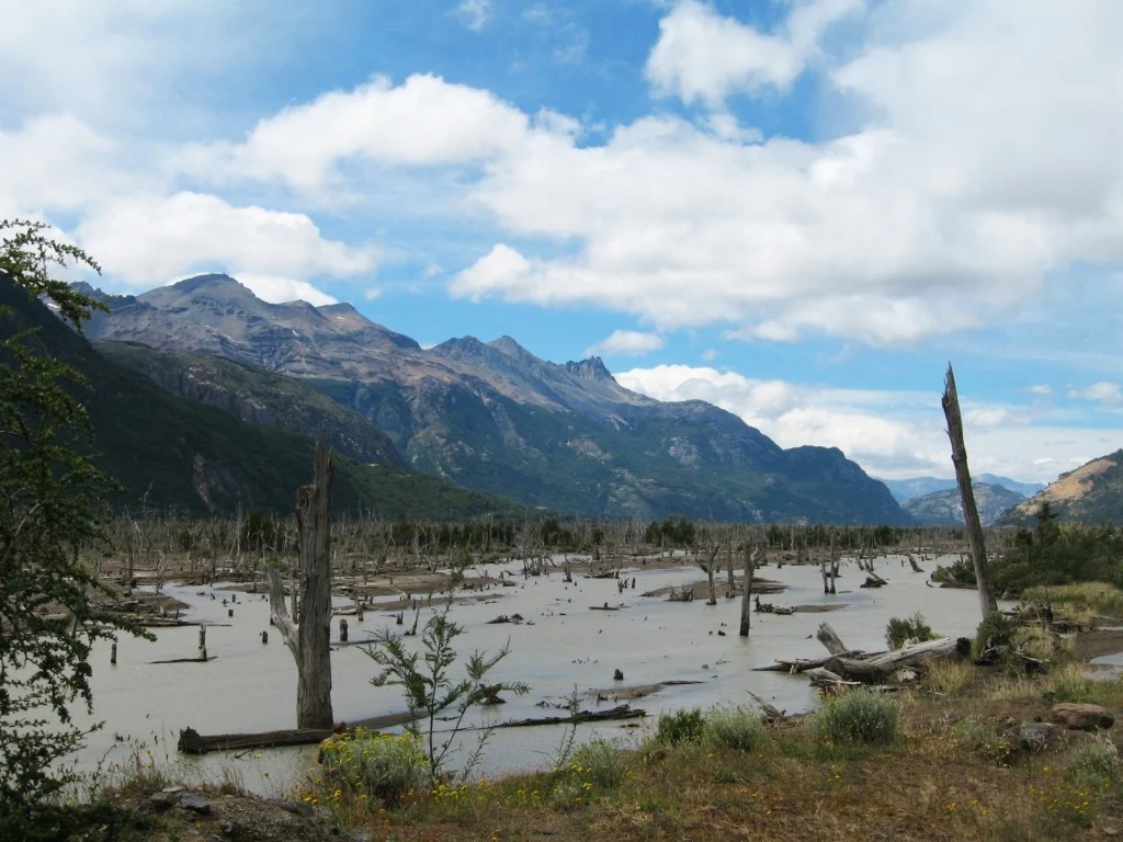
Imagine a torrent of hot and cold water, laden with rock fragments, ash and other debris hurtling down a river valley: this is a lahar. A by-product of eruptions of tall, steep-sided stratovolcanoes, lahars, are often triggered by the quick melting of snow caps and glaciers atop high volcanic peaks. The history of the Ibañes River and its valley, in southern Chile, are dominated by their proximity ...[Read More]

Imaggeo on Mondays: Landslide on the Cantabrian coastline

Imaggeo on Mondays: Landslide on the Cantabrian coastline

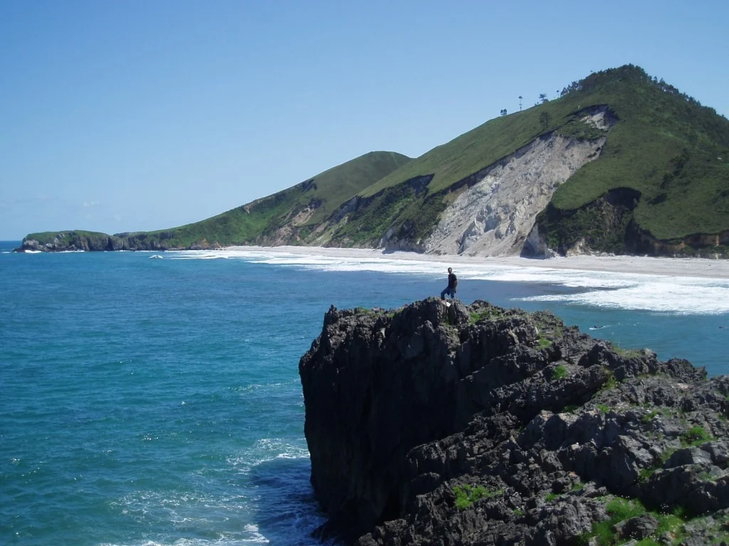
Shimmering blue seas, rocky outcrops and lush green hills sides; this idyllic landscape is punctuated by a stark reminder that geohazards are all around us. Irene Pérez Cáceres, a PhD student at the University of Granada (Spain) explains the geomorphology behind this small scale landslide on the Asturian coastline. This picture was taken in May 2011 in the coast of Llanes (Asturias, Spain). I was ...[Read More]

Geosciences Column: Do roads mean landslides are more likely?

Geosciences Column: Do roads mean landslides are more likely?

Landslides have been in the news frequently over the past 12 months or so. It’s not surprising considering their devastating consequences and potential impact on nearby communities. Data collected by Dave Petley in his Landslide Blog shows that from January to July 2014 alone, there were 222 landslides that caused loss of life, resulting in 1466 deaths. A recent paper, in the journal Natural Hazar ...[Read More]

Imaggeo on Mondays: Artists’ Paint Pots

Imaggeo on Mondays: Artists’ Paint Pots

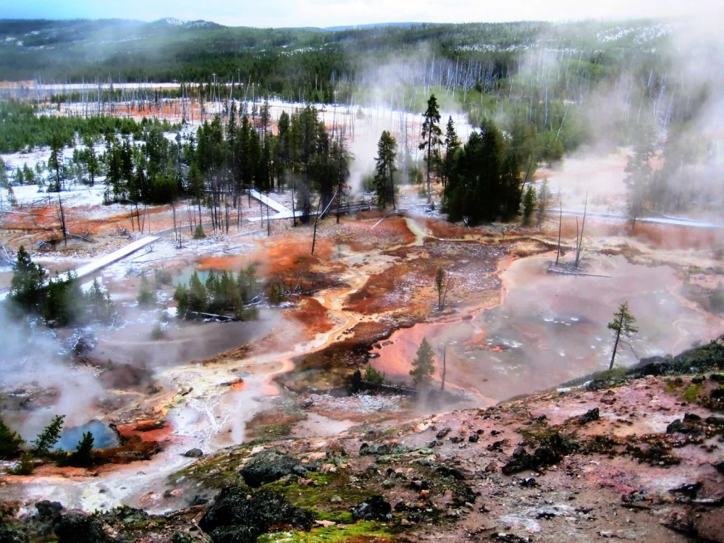
Many artists draw inspiration from nature and it’s not surprising when faced with landscapes which are as beautiful as the one featured in this week’s Imaggeo on Mondays post. Josep Miquel Ubalde Bauló writes about the origin of the colourful mud pots and bobby-socks trees! This picture corresponds to The Artist Paint Pots, found in in Yellowstone, the first National Park of the world. Yellowstone ...[Read More]

GeoEd: A risky business

GeoEd: A risky business

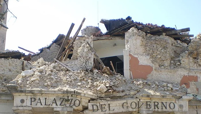
In this month’s GeoEd post, Sam Illingworth explores the pitfalls of being a scientist in the public eye. Following the recent acquittal of 6 geoscientists on manslaughter charges after ‘failing’ to predict the 2009 L’Aquila earthquake, is it time we thought about improving how risk is communicated to the wider public? At the beginning of November of this year, six Italian scientists were acquitte ...[Read More]

Imaggeo on Mondays: Lusi from the sky with drones

Imaggeo on Mondays: Lusi from the sky with drones

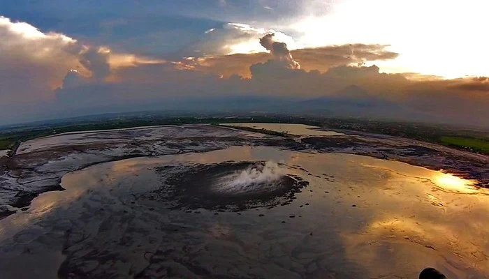
The picture shows a spectacular aerial view of a sunset over the Lusi mud eruption in East Java, Indonesia. Here thousands of cubic meters of mud, are spewed out every day from a 100 m sized central crater. Since the initial eruption of the volcano in 2006, following a 6.3 M earthquake, a surface of about 7 km2 has been covered by boiling mud, which has buried more than 12 villages and resulted in ...[Read More]